Hail Map in North Carolina on September 2, 2012
Get this storm
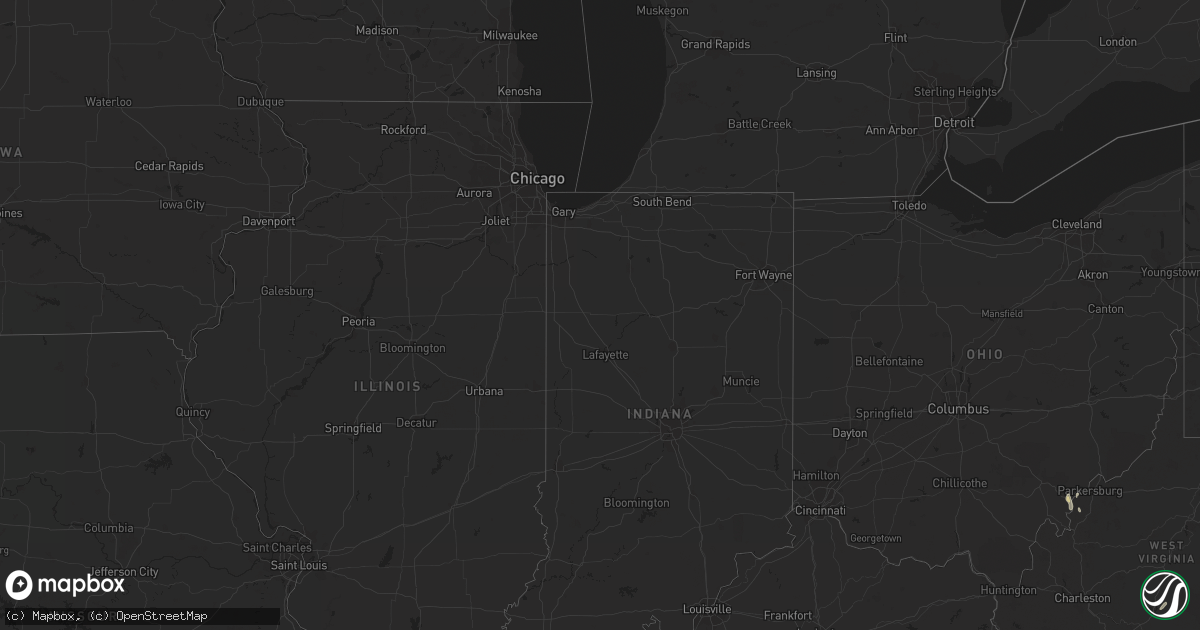
September 2 map
$229
one time, instant access
Download today. No call, no setup
Keep the $229
Bought the map and want the full workflow? Apply the entire $229 to a subscription within 7 days. None of it is wasted.
Every map, not just this one
This buys you this map. Subscription and you get every map we run, in the markets you choose from a few cities to whole states to nationwide. Plus real-time alerts the moment a storm fires.
Contact data
Name, contact info, occupancy, even credit band for addresses in the footprint. You go from where it hit to who to call.
Become the source they trust
Unlimited branding weather history reports on demand. You already have the documented answer ready for the property owner, and you are the one who showed up with it.
Property data and RoofTrace estimates
Pull up any address you have got, its value and the exact code rules for that jurisdiction, straight from One Click Code. Then RoofTrace estimates the squares, pitch, and roof value, priced the way you price.
Storm reports in North Carolina
North Carolina
| Date | Description |
|---|---|
| 09/02/20126:50 PM CDT | One tree was blown down near 200 lasalle way. |
| 09/02/20126:41 PM CDT | One tree down and several large tree limbs down on snatchburg road |
| 09/02/20126:30 PM CDT | Tree down on car at 3915 battleground ave. |
| 09/02/20126:28 PM CDT | Trained spotter received report of 5 inch dia tree down on rd at banner whitehead rd and farlowe davis rd |
| 09/02/20126:28 PM CDT | Trained spotter received report of tree down on us311 near loflin dairy rd |
| 09/02/20124:52 PM CDT | Multiple trees and power lines down on liberty church road near us hwy 601. |
| 09/02/20124:51 PM CDT | One tree down at the intersection of westfield road and hollingsworth road |
| 09/02/20124:16 PM CDT | One tree down at the intersection of nurse road and tom jones road |
| 09/02/20124:12 PM CDT | One tree down on old rockford road |
| 09/02/20124:12 PM CDT | One tree down at the intersection of marion street and freeman street |
| 09/02/20122:03 PM CDT | 2 trees down on power lines and blocking the roadway. |
| 09/02/20122:03 PM CDT | One tree down on bowmantown rd at mayo lake. Time estimated. |
| 09/02/20121:38 PM CDT | One tree down at the 9600 block of oxford rd. Time estimated. |
| 09/01/20128:15 PM CDT | Downed tree blocking one lane at the intersection of quail roost farm road and n. Roxboro road. |
| 09/01/20128:05 PM CDT | One tree down on ralph winstead rd. Time and location estimated. |
| 09/01/20128:02 PM CDT | One tree down at rolling hills rd and hester store rd. Time estimated. |
| 09/01/20127:45 PM CDT | One tree down on highway 119 |
| 09/01/20127:29 PM CDT | 911 center received report of several trees down at greenwood dr and union ridge rd in northern alamance county |
| 09/01/20127:28 PM CDT | One tree down on foster road |
| 09/01/20127:27 PM CDT | 911 center received report of tree down on rd at albright ave in graham |
| 09/01/20127:09 PM CDT | One tree was blown down at 6734 keansburg road. |
All States Impacted by Hail Map on September 2, 2012
Cities Impacted by Hail Map on September 2, 2012
- Bayboro, NC
- Smithfield, VA
- Ivor, VA
- Windsor, VA
- Ridgeway, VA
- Avera, GA
- Stapleton, GA
- Louisville, GA
- Bayfield, WI
- Rice, VA
- Olive Branch, MS
- Somerville, AL
- Laceys Spring, AL
- Myrtle, MS
- Potts Camp, MS
- Plantersville, MS
- Tupelo, MS
- Oxford, MS
- Calumet, MI
- Lake Linden, MI
- Hubbell, MI
- Hancock, MI
- Howells, NE
- Stanton, NE
- Memphis, TN
- Southaven, MS
- Blue Springs, MS
- Belden, MS
- Kenbridge, VA
- Canvas, WV
- Nettie, WV
- Phil Campbell, AL
- Baldwyn, MS
- Athens, AL
- Pittsboro, NC
- Hodges, AL
- Roxboro, NC
- Oriental, NC
- Arapahoe, NC
- Seligman, AZ
- Belleville, WV
- Tuscumbia, AL
- Houston, AL
- Double Springs, AL
- Arley, AL
- Wisner, NE
- Dodge, NE
- Clarkson, NE
- Timberlake, NC
- Rougemont, NC
- University, MS
- Coldwater, MS
- Hernando, MS
- Davisboro, GA
- Bartow, GA
- Oak Ridge, NC
- Fulton, MS
- Como, MS
- South Boston, VA
- Harvest, AL
- Toney, AL
- Water Valley, MS
- Vina, AL
- Tremont, MS
- Haleyville, AL
- Russellville, AL
- Moulton, AL
- Spruce Pine, AL
- Toivola, MI
- Atlantic Mine, MI
- Leigh, NE
- New Albany, MS
- Golden, MS
- Dennis, MS
- Belmont, MS
- Red Bay, AL
- Welch, MN
- Red Wing, MN
- Goodhue, MN
- Addison, AL
- Tucson, AZ
- Boulder, UT
- Blue Mountain, MS
- Ripley, MS
- Flagstaff, AZ
- Sanford, NC
- Senatobia, MS
- Waterford, MS
- Holly Springs, MS
- Carthage, NC
- Robbins, NC
- Emporia, VA
- Freeman, VA
- Cannon Falls, MN
- Batesville, MS
- Alton, VA
- Abbeville, MS
- Reidsville, NC
- Havelock, NC
- Merritt, NC
- Grantsboro, NC
- Stoneville, NC
- Eden, NC
- Mohawk, MI
- Byhalia, MS
- Oxford, NC
- Mantachie, MS
- Ashland, MS
- Sarona, WI
- Shell Lake, WI
- Fremont, NC
- Stantonsburg, NC
- Coolville, OH
- Reedsville, OH
- Iuka, MS
- Houghton, MI
- Dollar Bay, MI
- Vernal, UT
- La Grange, NC
- Kinston, NC
- Aurora, NC
- Farmville, NC
- Walstonburg, NC
- Mount Hope, AL
- West Memphis, AR
- Ahmeek, MI
- Allouez, MI
- Hackleburg, AL
- South Hill, VA
- Lunenburg, VA
- Barronett, WI
- Victoria, VA
- Sedley, VA
- Courtland, VA
- Delavan, MN
- Oakland, MS
- Washington, WV
- Chiefland, FL
- Guntown, MS
- Saltillo, MS
- Semora, NC
- Vinemont, AL
- Falkville, AL
- Cullman, AL
- Etta, MS
- Thaxton, MS
- Myton, UT
- Randolph, MN
- Milton, NC
- Blanch, NC
- Coffeeville, MS
- Courtland, MS
- Lawrenceville, VA
- Marietta, MS
- Nettleton, MS
- Pontotoc, MS
- Ecru, MS
- Amory, MS
- Northfield, MN
- Leasburg, NC
- Wakefield, VA
- Dobson, NC
- Hickory Flat, MS
- Marion, AR
- Colfax, NC
- Kernersville, NC
- Greensboro, NC
- Parks, AZ
- Clarksville, FL
- Altha, FL
- Stokesdale, NC
- Bear Creek, NC
- Nesbit, MS
- Yanceyville, NC
- Booneville, MS
- Hamilton, AL
- Broadway, NC
- Lillington, NC


