Hail Map in Alabama on September 2, 2012
Get this storm
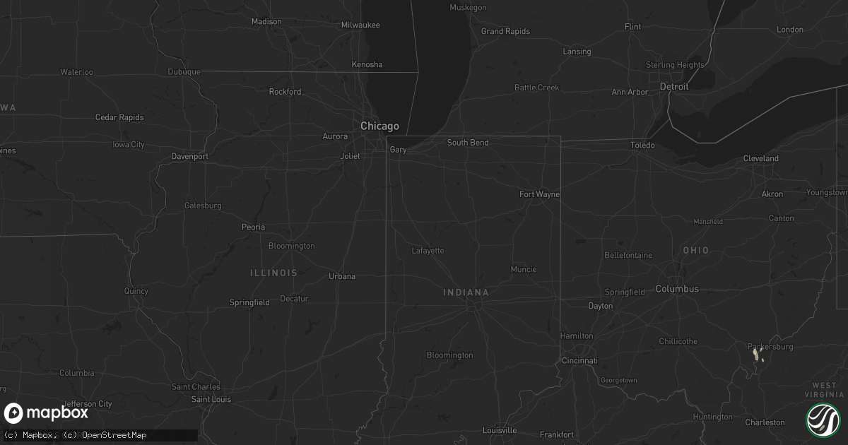
September 2 map
$229
one time, instant access
Download today. No call, no setup
Keep the $229
Bought the map and want the full workflow? Apply the entire $229 to a subscription within 7 days. None of it is wasted.
Every map, not just this one
This buys you this map. Subscription and you get every map we run, in the markets you choose from a few cities to whole states to nationwide. Plus real-time alerts the moment a storm fires.
Contact data
Name, contact info, occupancy, even credit band for addresses in the footprint. You go from where it hit to who to call.
Become the source they trust
Unlimited branding weather history reports on demand. You already have the documented answer ready for the property owner, and you are the one who showed up with it.
Property data and RoofTrace estimates
Pull up any address you have got, its value and the exact code rules for that jurisdiction, straight from One Click Code. Then RoofTrace estimates the squares, pitch, and roof value, priced the way you price.
Storm reports in Alabama
Alabama
| Date | Description |
|---|---|
| 09/02/20126:56 PM CDT | Power lines were blown down. |
| 09/02/20126:15 PM CDT | Trees were knocked down onto highway 33 in bankhead national forest. |
| 09/02/20125:55 PM CDT | Power lines reported down. |
| 09/02/20125:43 PM CDT | A tree was blown down. |
| 09/02/20125:38 PM CDT | Power poles reported down |
| 09/02/20125:37 PM CDT | Power lines reported down. |
| 09/02/20125:36 PM CDT | Lightning struck a house catching it on fire. |
| 09/02/20125:20 PM CDT | A tree was blown down on main street |
| 09/02/20125:20 PM CDT | A tree was blown down on main street |
| 09/02/20125:10 PM CDT | A tree was blown down at the intersection of cr 236 and cr 101. |
| 09/02/20125:10 PM CDT | A tree was blown down at the intersection of cr 236 and cr 101. |
| 09/02/20125:05 PM CDT | A tree was reported down on a residence. |
| 09/02/20125:05 PM CDT | A tree was reported down on a residence. |
| 09/02/20124:42 PM CDT | Trees were blown down on fairview road. |
| 09/02/20124:30 PM CDT | Trees blown down near the doublehead resort. |
| 09/02/20124:05 PM CDT | Powerlines down at piney chapel road and elkton road. |
| 09/02/20124:00 PM CDT | Trees and powerlines down along coleman avenue in athens. |
| 09/02/20124:00 PM CDT | Power lines and branches 2 to 3 inches in diameter reported down. |
| 09/02/20123:50 PM CDT | Power lines and branches 2 to 3 inches in diameter reported down. |
| 09/02/20123:50 PM CDT | Power lines and branches 2 to 3 inches in diameter reported down. |
| 09/02/20123:43 PM CDT | Trees and powerlines down near intersection of easter ferry road and myers road. Time estimated from radar. |
| 09/02/20123:40 PM CDT | A tree was blown down on barnes lane and old lee highway. |
| 09/02/20123:34 PM CDT | Trees down across baker hill road near the intersection of elk river mills road. |
| 09/02/20123:25 PM CDT | Trees were blown down over power lines. |
| 09/02/20123:25 PM CDT | A tree was blown down. |
| 09/02/20123:09 PM CDT | Estimated wind gust of 60 mph near us 72 and cr 31 |
| 09/02/20122:53 PM CDT | Lightning struck a house catching it on fire. |
| 09/01/20129:48 PM CDT | Tree down on county road 649 near cr 648. Time estimated from radar. |
| 09/01/20127:10 PM CDT | One tree down across state highway 253 south of hackleburg. |
| 09/01/20127:05 PM CDT | A tree was blown down on cr 36 |
| 09/01/20127:05 PM CDT | A tree was blown down on cr 36 |
| 09/01/20127:03 PM CDT | Power lines were blown down. |
All States Impacted by Hail Map on September 2, 2012
Cities Impacted by Hail Map on September 2, 2012
- Bayboro, NC
- Smithfield, VA
- Ivor, VA
- Windsor, VA
- Ridgeway, VA
- Avera, GA
- Stapleton, GA
- Louisville, GA
- Bayfield, WI
- Rice, VA
- Olive Branch, MS
- Somerville, AL
- Laceys Spring, AL
- Myrtle, MS
- Potts Camp, MS
- Plantersville, MS
- Tupelo, MS
- Oxford, MS
- Calumet, MI
- Lake Linden, MI
- Hubbell, MI
- Hancock, MI
- Howells, NE
- Stanton, NE
- Memphis, TN
- Southaven, MS
- Blue Springs, MS
- Belden, MS
- Kenbridge, VA
- Canvas, WV
- Nettie, WV
- Phil Campbell, AL
- Baldwyn, MS
- Athens, AL
- Pittsboro, NC
- Hodges, AL
- Roxboro, NC
- Oriental, NC
- Arapahoe, NC
- Seligman, AZ
- Belleville, WV
- Tuscumbia, AL
- Houston, AL
- Double Springs, AL
- Arley, AL
- Wisner, NE
- Dodge, NE
- Clarkson, NE
- Timberlake, NC
- Rougemont, NC
- University, MS
- Coldwater, MS
- Hernando, MS
- Davisboro, GA
- Bartow, GA
- Oak Ridge, NC
- Fulton, MS
- Como, MS
- South Boston, VA
- Harvest, AL
- Toney, AL
- Water Valley, MS
- Vina, AL
- Tremont, MS
- Haleyville, AL
- Russellville, AL
- Moulton, AL
- Spruce Pine, AL
- Toivola, MI
- Atlantic Mine, MI
- Leigh, NE
- New Albany, MS
- Golden, MS
- Dennis, MS
- Belmont, MS
- Red Bay, AL
- Welch, MN
- Red Wing, MN
- Goodhue, MN
- Addison, AL
- Tucson, AZ
- Boulder, UT
- Blue Mountain, MS
- Ripley, MS
- Flagstaff, AZ
- Sanford, NC
- Senatobia, MS
- Waterford, MS
- Holly Springs, MS
- Carthage, NC
- Robbins, NC
- Emporia, VA
- Freeman, VA
- Cannon Falls, MN
- Batesville, MS
- Alton, VA
- Abbeville, MS
- Reidsville, NC
- Havelock, NC
- Merritt, NC
- Grantsboro, NC
- Stoneville, NC
- Eden, NC
- Mohawk, MI
- Byhalia, MS
- Oxford, NC
- Mantachie, MS
- Ashland, MS
- Sarona, WI
- Shell Lake, WI
- Fremont, NC
- Stantonsburg, NC
- Coolville, OH
- Reedsville, OH
- Iuka, MS
- Houghton, MI
- Dollar Bay, MI
- Vernal, UT
- La Grange, NC
- Kinston, NC
- Aurora, NC
- Farmville, NC
- Walstonburg, NC
- Mount Hope, AL
- West Memphis, AR
- Ahmeek, MI
- Allouez, MI
- Hackleburg, AL
- South Hill, VA
- Lunenburg, VA
- Barronett, WI
- Victoria, VA
- Sedley, VA
- Courtland, VA
- Delavan, MN
- Oakland, MS
- Washington, WV
- Chiefland, FL
- Guntown, MS
- Saltillo, MS
- Semora, NC
- Vinemont, AL
- Falkville, AL
- Cullman, AL
- Etta, MS
- Thaxton, MS
- Myton, UT
- Randolph, MN
- Milton, NC
- Blanch, NC
- Coffeeville, MS
- Courtland, MS
- Lawrenceville, VA
- Marietta, MS
- Nettleton, MS
- Pontotoc, MS
- Ecru, MS
- Amory, MS
- Northfield, MN
- Leasburg, NC
- Wakefield, VA
- Dobson, NC
- Hickory Flat, MS
- Marion, AR
- Colfax, NC
- Kernersville, NC
- Greensboro, NC
- Parks, AZ
- Clarksville, FL
- Altha, FL
- Stokesdale, NC
- Bear Creek, NC
- Nesbit, MS
- Yanceyville, NC
- Booneville, MS
- Hamilton, AL
- Broadway, NC
- Lillington, NC


