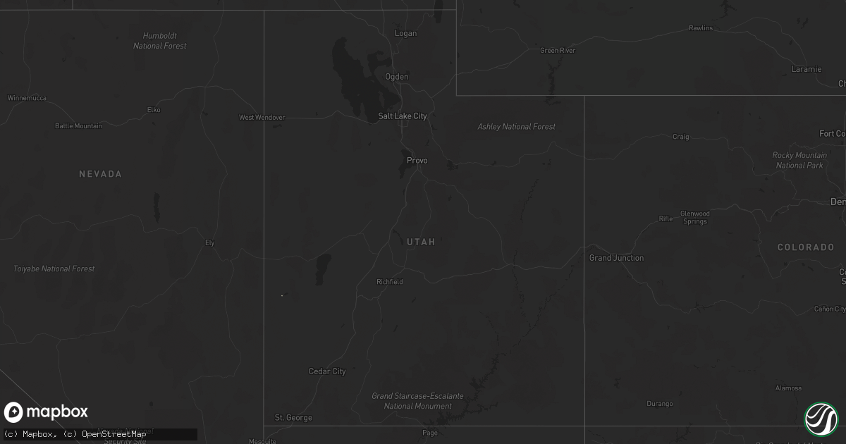
Hail Map in Utah on September 1, 2016
Get this storm
September 1 map
$229
one time, instant access
Download today. No call, no setup
Keep the $229
Bought the map and want the full workflow? Apply the entire $229 to a subscription within 7 days. None of it is wasted.
Every map, not just this one
This buys you this map. Subscription and you get every map we run, in the markets you choose from a few cities to whole states to nationwide. Plus real-time alerts the moment a storm fires.
Contact data
Name, contact info, occupancy, even credit band for addresses in the footprint. You go from where it hit to who to call.
Become the source they trust
Unlimited branding weather history reports on demand. You already have the documented answer ready for the property owner, and you are the one who showed up with it.
Property data and RoofTrace estimates
Pull up any address you have got, its value and the exact code rules for that jurisdiction, straight from One Click Code. Then RoofTrace estimates the squares, pitch, and roof value, priced the way you price.
Storm reports in Utah
Utah
| Date | Description |
|---|---|
| 09/01/20166:20 PM CDT | Upper cedar mtn mesonet site |
| 09/01/20165:35 PM CDT | A local report indicates 61 MPH wind near 27 WSW DUGWAY |
| 09/01/20164:40 PM CDT | West granite mesonet site |
| 09/01/20164:30 PM CDT | Uttr thermal treament unit |
| 09/01/20164:25 PM CDT | Diddle knoll mesonet site |
All States Impacted by Hail Map on September 1, 2016
Cities Impacted by Hail Map on September 1, 2016
- Otter, MT
- Birney, MT
- Clearmont, WY
- Sheridan, WY
- Decker, MT
- Red Oak, VA
- Clarksville, VA
- Scottsburg, VA
- Buffalo Junction, VA
- Zebulon, NC
- Volborg, MT
- Leasburg, NC
- Middlesex, NC
- Wendell, NC
- Cove, AR
- Lordsburg, NM
- Oak Hill, FL
- Mims, FL
- Tiger, GA
- Clayton, GA
- Roxboro, NC
- Blanch, NC
- Yanceyville, NC
- Brownwood, TX
- Mullin, TX
- Garrison, UT
- Skipwith, VA


