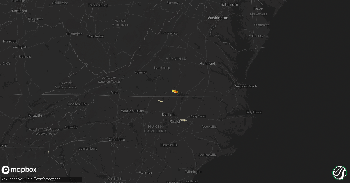
Hail Map on September 1, 2016
Get this storm
September 1 map
$229
one time, instant access
Download today. No call, no setup
Keep the $229
Bought the map and want the full workflow? Apply the entire $229 to a subscription within 7 days. None of it is wasted.
Every map, not just this one
This buys you this map. Subscription and you get every map we run, in the markets you choose from a few cities to whole states to nationwide. Plus real-time alerts the moment a storm fires.
Contact data
Name, contact info, occupancy, even credit band for addresses in the footprint. You go from where it hit to who to call.
Become the source they trust
Unlimited branding weather history reports on demand. You already have the documented answer ready for the property owner, and you are the one who showed up with it.
Property data and RoofTrace estimates
Pull up any address you have got, its value and the exact code rules for that jurisdiction, straight from One Click Code. Then RoofTrace estimates the squares, pitch, and roof value, priced the way you price.
States Impacted by Hail Map on September 1, 2016
Storm reports
South Carolina
| Date | Description |
|---|---|
| 09/01/20164:15 PM CDT | One large tree blown down near hwy 292 and hwy 29. |
| 09/01/20164:15 PM CDT | Two small trees blown down on lyman road. |
Montana
| Date | Description |
|---|---|
| 09/01/20164:53 PM CDT | 62 mph wind gust at the helena airport. |
| 09/01/20164:40 PM CDT | Power line and tree damage in east helena. |
| 08/31/201610:01 PM CDT | Mesonet station malta 35s /mtmal/. |
Georgia
| Date | Description |
|---|---|
| 09/01/20164:13 AM CDT | Multiple trees reported down on skidaway island and damage to at least 12 to 15 structures. Possible tornado. |
| 09/01/20164:12 AM CDT | A national weather service survey team confirmed a tornado near skidaway island on 9/2/16. The tornado touched down at 512 am and moved northward through the residentia |
| 09/01/20162:50 AM CDT | A national weather service survey team confirmed a tornado near riceboro on 9/2/16. The tornado touched down at 350 am just north of blackbeard creek. It is estimated t |
Florida
| Date | Description |
|---|---|
| 08/31/20169:39 PM CDT | A storm chaser reported a tornado on the ground with power flashes visible in rural taylor county |
| 08/31/20167:45 PM CDT | Lake county ems reports some dead trees and several large tree limbs down along route 441 near lake griffin road in lady lake. |
| 08/31/20167:40 PM CDT | Lake county ems reports several large tree limbs and some dead trees down near route 441 and west dixie avenue in leesburg. |
| 08/31/20167:38 PM CDT | Trained spotter reports numerous large trees snapped in half along porter road between avalon road and hamlin groves trail. Possible tornado damage. |
| 08/31/20167:38 PM CDT | Orange county dispatch reports a large tree down at the intersection of porter road and avalon road.time estimated by radar. |
| 08/31/20167:36 PM CDT | Media report on twitter that a taylor county deputy reported a tornado near keaton beach with no damage |
| 08/31/20167:07 PM CDT | Media report on twitter that a taylor county deputy reported a tornado near steinhatchee with no damage |
Nevada
| Date | Description |
|---|---|
| 09/01/20163:30 PM CDT | We received reports of at least two fairly large mesquite trees down near the intersection of green valley and paseo verde parkways. Wind gusts were estimated from arou |
North Carolina
| Date | Description |
|---|---|
| 09/01/20164:13 PM CDT | Trash cans knocked over and small tree limbs blown down. |
| 09/01/20164:12 PM CDT | Power pole snapped in half. Powerlines down on mobile home on immanuel church road. |
| 09/01/20164:10 PM CDT | Tree blown down on house on country club road. |
| 09/01/20163:44 PM CDT | Small tree limbs broken and lawn furniture blown around. |
| 09/01/201612:47 PM CDT | Person county 911 reports multiple trees down between the 4200 and 7300 blocks of leasburg hwy. |
Wyoming
| Date | Description |
|---|---|
| 09/01/20166:20 PM CDT | A local report indicates 60 MPH wind near 7 SE SPOTTED HORSE |
| 08/31/20168:52 PM CDT | A local report indicates 60 MPH wind near ARVADA |
Idaho
| Date | Description |
|---|---|
| 09/01/20165:02 PM CDT | A local report indicates 60 MPH wind near 1 E CHUBBUCK |
Utah
| Date | Description |
|---|---|
| 09/01/20166:20 PM CDT | Upper cedar mtn mesonet site |
| 09/01/20165:35 PM CDT | A local report indicates 61 MPH wind near 27 WSW DUGWAY |
| 09/01/20164:40 PM CDT | West granite mesonet site |
| 09/01/20164:30 PM CDT | Uttr thermal treament unit |
| 09/01/20164:25 PM CDT | Diddle knoll mesonet site |
New Mexico
| Date | Description |
|---|---|
| 09/01/20165:30 PM CDT | Time and location approximate as picture was from unknown source. Landspout tornado. |
Cities Impacted by Hail Map on September 1, 2016
- Otter, MT
- Birney, MT
- Clearmont, WY
- Sheridan, WY
- Decker, MT
- Red Oak, VA
- Clarksville, VA
- Scottsburg, VA
- Buffalo Junction, VA
- Zebulon, NC
- Volborg, MT
- Leasburg, NC
- Middlesex, NC
- Wendell, NC
- Cove, AR
- Lordsburg, NM
- Oak Hill, FL
- Mims, FL
- Tiger, GA
- Clayton, GA
- Roxboro, NC
- Blanch, NC
- Yanceyville, NC
- Brownwood, TX
- Mullin, TX
- Garrison, UT
- Skipwith, VA