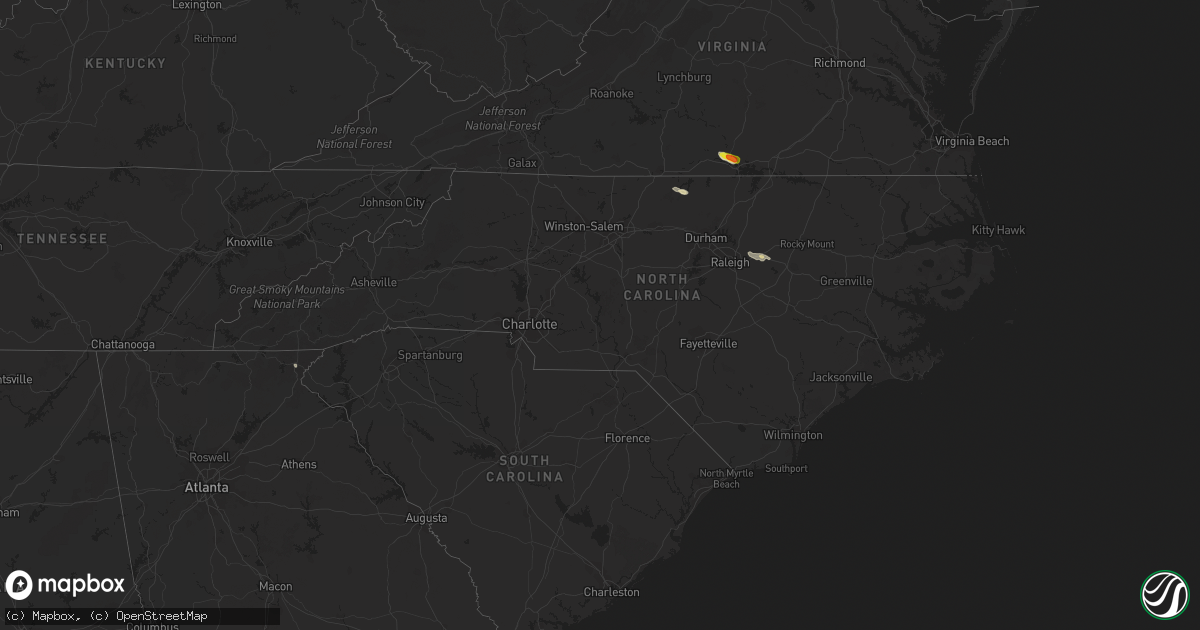
Hail Map in North Carolina on September 1, 2016
Get this storm
September 1 map
$229
one time, instant access
Download today. No call, no setup
Keep the $229
Bought the map and want the full workflow? Apply the entire $229 to a subscription within 7 days. None of it is wasted.
Every map, not just this one
This buys you this map. Subscription and you get every map we run, in the markets you choose from a few cities to whole states to nationwide. Plus real-time alerts the moment a storm fires.
Contact data
Name, contact info, occupancy, even credit band for addresses in the footprint. You go from where it hit to who to call.
Become the source they trust
Unlimited branding weather history reports on demand. You already have the documented answer ready for the property owner, and you are the one who showed up with it.
Property data and RoofTrace estimates
Pull up any address you have got, its value and the exact code rules for that jurisdiction, straight from One Click Code. Then RoofTrace estimates the squares, pitch, and roof value, priced the way you price.
Storm reports in North Carolina
North Carolina
| Date | Description |
|---|---|
| 09/01/20164:13 PM CDT | Trash cans knocked over and small tree limbs blown down. |
| 09/01/20164:12 PM CDT | Power pole snapped in half. Powerlines down on mobile home on immanuel church road. |
| 09/01/20164:10 PM CDT | Tree blown down on house on country club road. |
| 09/01/20163:44 PM CDT | Small tree limbs broken and lawn furniture blown around. |
| 09/01/201612:47 PM CDT | Person county 911 reports multiple trees down between the 4200 and 7300 blocks of leasburg hwy. |
All States Impacted by Hail Map on September 1, 2016
Cities Impacted by Hail Map on September 1, 2016
- Otter, MT
- Birney, MT
- Clearmont, WY
- Sheridan, WY
- Decker, MT
- Red Oak, VA
- Clarksville, VA
- Scottsburg, VA
- Buffalo Junction, VA
- Zebulon, NC
- Volborg, MT
- Leasburg, NC
- Middlesex, NC
- Wendell, NC
- Cove, AR
- Lordsburg, NM
- Oak Hill, FL
- Mims, FL
- Tiger, GA
- Clayton, GA
- Roxboro, NC
- Blanch, NC
- Yanceyville, NC
- Brownwood, TX
- Mullin, TX
- Garrison, UT
- Skipwith, VA


