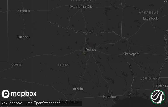
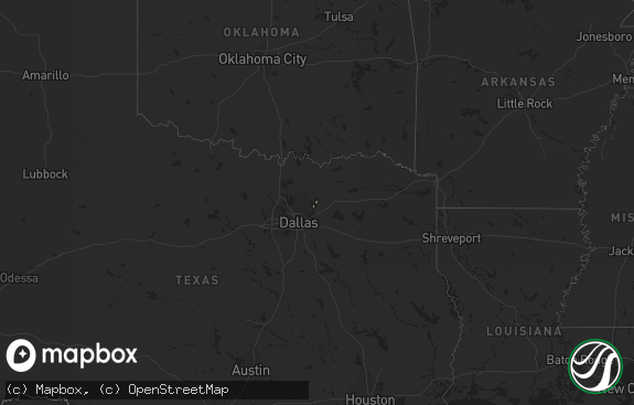
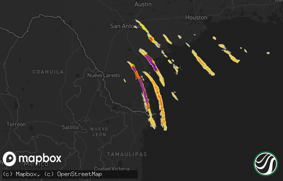
Hail Map in Texas on August 31, 2020
The weather event in Texas on August 31, 2020 includes Hail and Wind maps. 11 states and 316 cities were impacted and suffered possible damage. The total estimated number of properties impacted is 553.

Hail
Wind
553
Estimated number of impacted properties by a 1.00" hail or larger0
Estimated number of impacted properties by a 1.75" hail or larger0
Estimated number of impacted properties by a 2.50" hail or largerStorm reports in Texas
Texas
| Date | Description |
|---|---|
| 08/31/20206:20 PM CDT | Outbuilding and chicken coop destroyed. Public estimated 60-70 mph wind gusts. |
| 08/31/20205:37 PM CDT | A local report indicates 64 MPH wind near 5 SSE COLORADO CITY |
| 08/31/20205:31 PM CDT | A local report indicates 68 MPH wind near 5 NW COLORADO CITY |
| 08/31/20205:20 PM CDT | Two panels of metal roof peeled off and water damage inside structure. |
| 08/31/20204:55 PM CDT | Barn door was blown in. Estimated peak wind speed around 60 mph. |
| 08/31/20203:02 AM CDT | At 802 PM CDT, a severe thunderstorm was located near San Angelo State Park, or 8 miles west of San Angelo, moving east at 30 mph. HAZARD...60 mph wind gusts. SOURCE...Radar indicated. IMPACT...Expect damage to roofs, siding, and trees. This severe thunderstorm will be near... San Angelo State Park and O.c. Fisher Reservoir around 810 PM CDT. San Angelo around 820 PM CDT.Other locations impacted by this severe thunderstorm include Harriet. |
| 08/31/20202:52 AM CDT | At 752 PM CDT, a severe thunderstorm was located near Mertzon, moving northeast at 25 mph. HAZARD...60 mph wind gusts. SOURCE...Radar indicated. IMPACT...Expect damage to roofs, siding, and trees. This severe thunderstorm will be near... Mertzon around 800 PM CDT. Sherwood around 805 PM CDT. |
| 08/31/20202:47 AM CDT | At 747 PM CDT, a severe thunderstorm was located over Arden, or 13 miles north of Mertzon, moving northeast at 25 mph. HAZARD...60 mph wind gusts. SOURCE...Radar indicated. IMPACT...Expect damage to roofs, siding, and trees. This severe thunderstorm will be near... San Angelo State Park, O.c. Fisher Reservoir and Grape Creek around 815 PM CDT. |
| 08/31/20201:21 AM CDT | At 620 PM CDT, a severe thunderstorm was located over Rule, or 10 miles west of Haskell, moving east at 25 mph. HAZARD...70 mph wind gusts and quarter size hail. SOURCE...Radar indicated. IMPACT...Hail damage to vehicles is expected. Expect considerable tree damage. Wind damage is also likely to mobile homes, roofs, and outbuildings. This severe thunderstorm will be near... Haskell around 650 PM CDT. Weinert around 700 PM CDT.Other locations impacted by this severe thunderstorm include Us-380 Near The Haskell-Stonewall County Line. |
| 08/31/202012:46 AM CDT | At 546 PM CDT, a severe thunderstorm was located near Bluegrove, moving northeast at 25 mph. HAZARD...60 mph wind gusts and quarter size hail. SOURCE...Radar indicated. IMPACT...Hail damage to vehicles is expected. Expect wind damage to roofs, siding, and trees. Locations impacted include... Henrietta, Windthorst, Bellevue, Lake Arrowhead, Bluegrove, Joy and Vashti. |
| 08/31/202012:36 AM CDT | At 536 PM CDT, severe thunderstorms were located along a line extending from 7 miles northeast of Colorado City Airport to Champion Creek Reservoir to 15 miles north of Sterling City, moving east at 20 mph. HAZARD...60 mph wind gusts. SOURCE...Radar indicated. IMPACT...Expect damage to roofs, siding, and trees. Locations impacted include... Colorado City, Loraine, Colorado City Airport, Lake Colorado City, Champion Creek Reservoir, Lake Colorado City State Park and Buford.This includes Interstate 20 between mile markers 210 and 228. |
| 08/30/202010:49 PM CDT | At 349 PM CDT, a severe thunderstorm was located near Margaret, moving northeast at 15 mph. HAZARD...60 mph wind gusts and quarter size hail. SOURCE...Radar indicated. IMPACT...Hail damage to vehicles is expected. Expect wind damage to roofs, siding, and trees. Locations impacted include... Crowell, Chillicothe, Margaret, Lockett, Medicine Mound, Thalia, Rayland and Copper Breaks State Park. |
| 08/30/20207:48 PM CDT | One to two inch tree limbs were broken off by the wind. |
All States Impacted by Hail Map on August 31, 2020
Cities Impacted by Hail Map on August 31, 2020
- Albany, MO
- Independence, MO
- Salisbury, MO
- Jadwin, MO
- Geary, OK
- Throckmorton, TX
- Yukon, OK
- El Reno, OK
- Rule, TX
- Windsor, MO
- Lincoln, MO
- Iberia, MO
- Monroe, NC
- Pawnee, OK
- Ralston, OK
- Washington, OK
- Wynona, OK
- Fairfax, OK
- Tryon, OK
- Perkins, OK
- Vienna, MO
- Morrison, OK
- Glencoe, OK
- Pawhuska, OK
- Sedalia, MO
- Marble Hill, MO
- Westbrook, TX
- Macomb, OK
- Wanette, OK
- Tupelo, OK
- Richland, MO
- Pleasanton, KS
- Perry, OK
- Red Rock, OK
- Noble, OK
- Gardner, KS
- Olathe, KS
- Henrietta, TX
- Ryan, OK
- Marathon, TX
- Prairie Home, MO
- Jamestown, MO
- California, MO
- Blanchard, OK
- Tuttle, OK
- Wister, OK
- Tupelo, MS
- Richburg, SC
- Centerview, MO
- Belleview, MO
- Bismarck, MO
- Middle Brook, MO
- Ironton, MO
- Salem, MO
- East Prairie, MO
- Holden, MO
- Luther, OK
- Arcadia, OK
- Pontotoc, MS
- Belden, MS
- Shannon, MS
- Sweet Springs, MO
- Blackburn, MO
- De Soto, KS
- Linwood, KS
- Kansas City, KS
- Bonner Springs, KS
- Tonganoxie, KS
- Lenexa, KS
- Shawnee, KS
- Gracemont, OK
- Gravois Mills, MO
- Sunrise Beach, MO
- Climax Springs, MO
- Cole Camp, MO
- Versailles, MO
- Stover, MO
- Edwards, MO
- Sterling City, TX
- Lexington, OK
- Milan, MO
- Browning, MO
- Prescott, KS
- Mound City, KS
- Maysville, MO
- Norman, OK
- Tecumseh, OK
- Coahoma, TX
- Easton, KS
- Fort Leavenworth, KS
- Leavenworth, KS
- Albany, TX
- Carney, OK
- Ripley, OK
- Meridian, OK
- Stillwater, OK
- Wellston, OK
- Agra, OK
- Colorado City, TX
- Ira, TX
- Oklahoma City, OK
- Hinton, OK
- Binger, OK
- Minco, OK
- Sikeston, MO
- Chickasha, OK
- Robert Lee, TX
- Carlsbad, TX
- Brumley, MO
- Ulman, MO
- Ninnekah, OK
- Atchison, KS
- Quitman, AR
- Lebanon, MO
- Stoutland, MO
- Crocker, MO
- Chamois, MO
- Mineral Point, MO
- Mustang, OK
- Guthrie, OK
- Mulhall, OK
- Coyle, OK
- Laredo, MO
- Chula, MO
- McFall, MO
- Darlington, MO
- Calumet, OK
- Okarche, OK
- Calhoun, MO
- Windthorst, TX
- Big Spring, TX
- Lone Jack, MO
- Bates City, MO
- Kingsville, MO
- Odessa, MO
- Warrensburg, MO
- Leeton, MO
- Shawnee, OK
- Burbank, OK
- Shidler, OK
- Newcastle, OK
- Purcell, OK
- Mokane, MO
- Cashion, OK
- Edmond, OK
- Buckner, MO
- Blue Springs, MO
- Rocheport, MO
- Mora, MO
- Saint Thomas, MO
- Meta, MO
- Gilman City, MO
- Fredericktown, MO
- Zalma, MO
- Advance, MO
- Stuart, OK
- Basehor, KS
- Smithton, MO
- Otterville, MO
- Fulton, MO
- New Bloomfield, MO
- Marceline, MO
- Glasgow, MO
- Fort Cobb, OK
- Concordia, MO
- Maud, OK
- Bethany, OK
- Yale, OK
- Scotland, TX
- Wheeling, MO
- Alex, OK
- Olean, MO
- Russellville, MO
- Edgerton, KS
- Eudora, KS
- Baldwin City, KS
- Wellsville, KS
- Wickliffe, KY
- Crowell, TX
- Asher, OK
- Amber, OK
- Saint Joseph, MO
- Jena, LA
- Konawa, OK
- Ridgeway, MO
- Martinsville, MO
- Bell City, MO
- Oran, MO
- Cushing, OK
- Lookeba, OK
- Platte City, MO
- Kansas City, MO
- Weston, MO
- Smithville, MO
- Gerald, MO
- Rosebud, MO
- Owensville, MO
- Columbia, MO
- Raymondville, MO
- Spring Hill, KS
- Mertzon, TX
- Laclede, MO
- Brookfield, MO
- Gravity, IA
- Sharpsburg, IA
- Lenox, IA
- Bertrand, MO
- Red Oak, OK
- Eldon, MO
- Tuscumbia, MO
- Shady Point, OK
- Waynesville, MO
- Linn Creek, MO
- Kaiser, MO
- Montreal, MO
- Chaffee, MO
- Butler, MO
- Argyle, MO
- Hermann, MO
- Cherryville, MO
- Davisville, MO
- Knob Noster, MO
- Houstonia, MO
- La Monte, MO
- Alma, MO
- Fletcher, OK
- Cement, OK
- Simsboro, LA
- Lees Summit, MO
- Grain Valley, MO
- Anadarko, OK
- Morrison, MO
- Piedmont, OK
- Chilhowee, MO
- Chester, SC
- Hume, MO
- Slater, MO
- Gilliam, MO
- Lohman, MO
- Green Ridge, MO
- Woodson, TX
- Higginsville, MO
- Corder, MO
- Eugene, MO
- Jefferson City, MO
- Henley, MO
- Leopold, MO
- Maysville, OK
- Hughesville, MO
- Jacksboro, TX
- Cameron, MO
- Oak Grove, MO
- Dearborn, MO
- Lindsay, OK
- Bethany, MO
- Faucett, MO
- De Kalb, MO
- Paoli, OK
- Keytesville, MO
- Lake Ozark, MO
- Potosi, MO
- Warsaw, MO
- Oskaloosa, KS
- Wheatland, OK
- Wynne, AR
- Newburg, MO
- Duke, MO
- Greenfield, OK
- Old Glory, TX
- Riverside, MO
- Syracuse, MO
- Florence, MO
- Trenton, MO
- Charleston, MO
- Valley Falls, KS
- Winchester, KS
- Pocasset, OK
- Newalla, OK
- Union City, OK
- Girard, KS
- Haskell, TX
- San Angelo, TX
- Oktaha, OK
- Warner, OK
- Checotah, OK
- Boynton, OK
- Council Hill, OK
- Muskogee, OK
- Pocola, OK
- Roland, OK
- Fort Smith, AR
- Van Buren, AR
- Muldrow, OK
- Spiro, OK
- Arkoma, OK
- Mcalester, OK
- Quinton, OK
- Belgrade, MO
- Earlsboro, OK
- Clarksburg, MO
- Hartsburg, MO
- Ashland, MO
- New Haven, MO
- Berger, MO
- Steedman, MO
- Bourbon, MO
- Steelville, MO
- Rolla, MO
- Cook Sta, MO
- Brinktown, MO
- Saint Elizabeth, MO
- Leasburg, MO
- Saint James, MO
- Vichy, MO
- Dixon, MO
- Cuba, MO


