Hail Map in Iowa on August 7, 2012
Get this storm
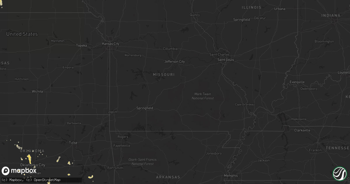
August 7 map
$229
one time, instant access
Download today. No call, no setup
Keep the $229
Bought the map and want the full workflow? Apply the entire $229 to a subscription within 7 days. None of it is wasted.
Every map, not just this one
This buys you this map. Subscription and you get every map we run, in the markets you choose from a few cities to whole states to nationwide. Plus real-time alerts the moment a storm fires.
Contact data
Name, contact info, occupancy, even credit band for addresses in the footprint. You go from where it hit to who to call.
Become the source they trust
Unlimited branding weather history reports on demand. You already have the documented answer ready for the property owner, and you are the one who showed up with it.
Property data and RoofTrace estimates
Pull up any address you have got, its value and the exact code rules for that jurisdiction, straight from One Click Code. Then RoofTrace estimates the squares, pitch, and roof value, priced the way you price.
Storm reports in Iowa
Iowa
| Date | Description |
|---|---|
| 08/07/20123:15 PM CDT | Resident reports siding torn off of house and an outbuilding...windows blown out of the house...and power is out. Relayed by county dispatch center. Delayed report. Tim |
| 08/06/20129:30 PM CDT | 4 power poles blown down. Crops flatten. Delayed report |
| 08/06/20129:18 PM CDT | Near the mormon bridge. |
All States Impacted by Hail Map on August 7, 2012
Cities Impacted by Hail Map on August 7, 2012
- Wolbach, NE
- Scotia, NE
- Elba, NE
- Saint Paul, NE
- Greeley, NE
- Earling, IA
- Kinta, OK
- Snow, OK
- Clayton, OK
- Nashoba, OK
- Hennessey, OK
- Cedar Creek, NE
- Springfield, NE
- Plattsmouth, NE
- Papillion, NE
- Louisville, NE
- Doland, SD
- Truro, IA
- Okarche, OK
- Midway, GA
- Fleming, GA
- Katy, TX
- Eckley, CO
- Yuma, CO
- Clarksville, TX
- Deport, TX
- Bogata, TX
- Bagwell, TX
- Detroit, TX
- Blossom, TX
- Mullinville, KS
- Greensburg, KS
- Lake Preston, SD
- Creston, NE
- Madison, NE
- Platte Center, NE
- Humphrey, NE
- Columbus, NE
- Agra, KS
- Lufkin, TX
- Bellwood, NE
- Clovis, NM
- Lancaster, TX
- Dallas, TX
- Wilmer, TX
- Hutchins, TX
- North Bend, NE
- Scribner, NE
- Elgin, OK
- Guthrie, OK
- Manning, IA
- Geraldine, AL
- Dawson, AL
- Batesland, SD
- Haxtun, CO
- Okmulgee, OK
- Henryetta, OK
- Dunlap, IA
- Panama, IA
- Westphalia, IA
- Harlan, IA
- Woodbine, IA
- Defiance, IA
- Ryan, OK
- Waurika, OK
- Blair, NE
- Kiowa, OK
- Manilla, IA
- Emerson, IA
- Benkelman, NE
- Venango, NE
- Imperial, NE
- Enders, NE
- Champion, NE
- Exira, IA
- Hamlin, IA
- Audubon, IA
- Peru, IA
- Hayes Center, NE
- Oklahoma City, OK
- Oviedo, FL
- Winter Springs, FL
- Great Bend, KS
- Nacogdoches, TX
- Akron, CO
- Bastrop, LA
- Campbell, NE
- Bladen, NE
- Farragut, IA
- Riverton, IA
- Mobeetie, TX
- West Bend, WI
- Many, LA
- Woodward, IA
- West Point, NE
- Walters, OK
- Stratton, CO
- Kit Carson, CO
- Campbellsport, WI
- Kewaskum, WI
- Stratford, OK
- Byars, OK
- Ada, OK
- Asher, OK
- Bison, SD
- Lodgepole, SD
- Caney, OK
- Irwin, IA
- Kimballton, IA
- Kirkman, IA
- Crook, CO
- Lorimor, IA
- Macksburg, IA
- Robeline, LA
- Natchitoches, LA
- Coushatta, LA
- Saline, LA
- Goldonna, LA
- Campti, LA
- Simms, TX
- New Boston, TX
- Baskin, LA
- Winnsboro, LA
- Smithville, OK
- Milburn, OK
- Tishomingo, OK
- Maryville, MO
- Mooreland, OK
- Carson, IA
- Macedonia, IA
- Prairie City, IA
- Colfax, IA
- Perryton, TX
- Brownsboro, TX
- Chandler, TX
- Ben Wheeler, TX
- Wiergate, TX
- Burkeville, TX
- Anacoco, LA
- Hemphill, TX
- Leigh, NE
- Northport, AL
- Willow, OK
- Lamar, OK
- Holdenville, OK
- Dustin, OK
- Piedmont, OK
- Edmond, OK
- Cashion, OK
- Ovid, CO
- Massena, IA
- Tupelo, OK
- Atlantic, IA
- Anita, IA
- Wiota, IA
- Rayville, LA
- Dodd City, TX
- Tekamah, NE
- Lyons, KS
- Chase, KS
- Watson, OK
- Cove, AR
- Konawa, OK
- Fremont, NE
- Nickerson, NE
- Arlington, NE
- Scenic, SD
- Genoa, NE
- Saint Edward, NE
- Lindsay, NE
- Dodge, NE
- Shenandoah, IA
- Coin, IA
- Northboro, IA
- Hamburg, IA
- Timpson, TX
- Tuttle, OK
- Amber, OK
- Byers, TX
- Eads, CO
- Seagoville, TX
- Forney, TX
- Mesquite, TX
- Cheyenne Wells, CO
- Hartford, SD
- Humboldt, SD
- Clarendon, TX
- Mclean, TX
- Bloomingdale, GA
- Adel, IA
- Lebanon, KS
- Holly, CO
- Isabella, OK
- Holyoke, CO
- Angora, NE
- Paden, OK
- Bridgewater, IA
- Kellerton, IA
- Faxon, OK
- Lawton, OK
- Broken Bow, OK
- Brayton, IA
- Mound City, MO
- Maitland, MO
- Seymour, TX
- Omaha, NE
- Fort Calhoun, NE
- Crescent, IA
- Syracuse, KS
- Clark, SD
- Atlanta, TX
- De Kalb, TX
- Smith Center, KS
- Blanchard, OK
- Parks, NE
- Palmer, NE
- Belgrade, NE
- Avoca, IA
- Muse, OK
- Whitesboro, OK
- Talihina, OK
- Carthage, TX
- Wolsey, SD
- Inavale, NE
- Collins, GA
- Cobbtown, GA
- Claxton, GA
- Roff, OK
- Bellevue, NE
- Terrell, TX
- Craig, NE
- Lyons, NE
- Decatur, NE
- Dubach, LA
- Hodgen, OK
- Collinsville, TX
- Watertown, WI
- Ixonia, WI
- Ellabell, GA
- Fullerton, NE
- Monroe, NE
- Waskom, TX
- Missouri Valley, IA
- Red Oak, IA
- Okemah, OK
- Fyffe, AL
- Claflin, KS
- Lenox, IA
- Wilburton, OK
- Dover, OK
- Richmond Hill, GA
- Cache, OK
- Herman, NE
- Boaz, AL
- Garrison, TX
- Wellston, OK
- Forgan, OK
- Pembroke, GA
- Weleetka, OK
- Caddo, OK
- Offutt Afb, NE
- Henrietta, TX
- De Smet, SD
- Stringtown, OK
- Riverton, NE
- Wauneta, NE
- Blockton, IA
- Redding, IA
- Red Oak, OK
- Henderson, IA
- Fairview, OK
- Tuskahoma, OK
- Fontanelle, IA
- Lumber City, GA
- Fletcher, OK
- Wessington, SD
- Saint Lawrence, SD
- Burlington, CO
- Mondamin, IA
- Logan, IA
- Rural Retreat, VA
- De Berry, TX
- Bethany, LA
- Keithville, LA
- Greenwood, LA
- Nogales, AZ
- Tumacacori, AZ
- Randolph, IA
- Mayville, WI
- Theresa, WI
- Minco, OK
- Neola, IA
- Persia, IA
- Crescent, OK
- Quinton, OK
- Sharon, OK
- Hatfield, AR
- Depew, OK
- Stroud, OK
- Holstein, NE
- Murdock, NE
- Marlow, OK
- Arcadia, OK
- Houston, TX
- Modale, IA
- Hooper, NE
- Brooksville, FL
- Bennington, OK
- Albertville, AL
- Meridian, OK
- Chandler, OK
- Stonewall, OK
- Clarkson, NE
- Slinger, WI
- Moorhead, IA
- Huron, SD
- Elk Horn, IA
- Otis, CO
- West Monroe, LA
- Woodward, OK
- Geneva, FL
- Harlem, GA
- Skidmore, MO
- Vona, CO
- Gretna, VA
- Moundville, AL
- Mutual, OK
- Oakland, NE
- Amity, AR
- Custer, SD
- Belleview, FL
- Ocala, FL
- Hitchcock, SD
- Esbon, KS
- Council Bluffs, IA
- McClelland, IA
- Bouton, IA
- Marthaville, LA
- Belmont, LA
- Tyler, TX
- Fayette, AL
- Morse Bluff, NE
- Vienna, SD
- Turpin, OK
- El Reno, OK
- Mount Hope, AL
- Walnut, IA
- Rodessa, LA
- Ida, LA
- Doddridge, AR
- Grovetown, GA
- Mangham, LA
- Ellston, IA
- Mustang, OK
- Lockesburg, AR
- Chickasha, OK
- Pittsburg, OK
- Atoka, OK
- Rockwall, TX
- Prescott, IA
- Carthage, SD
- Kingfisher, OK
- South Pittsburg, TN
- Templeton, IA
- Bivins, TX
- Bloomburg, TX
- Crossville, AL
- Vermillion, KS
- Frankfort, KS
- Uvalda, GA
- Howells, NE
- Magnolia, IA
- Oshkosh, NE
- Cypress, TX
- Mill Creek, OK
- Cavour, SD
- Iroquois, SD
- Yale, SD
- Kingston, OK
- Diagonal, IA
- Tuscaloosa, AL
- Seibert, CO
- Bethel, OK
- Pearson, GA
- Bay City, MI
- Ivanhoe, TX
- Telephone, TX
- Merriman, NE
- Mankato, KS
- Canadian, TX
- Newcastle, OK
- Delhi, LA
- Lyons, GA
- Oxford, FL
- Hinesville, GA
- Spearville, KS
- Fort Pierce, FL
- Windom, TX
- Cawker City, KS
- Dearing, GA


