Hail Map in South Dakota on July 30, 2013
Get this storm
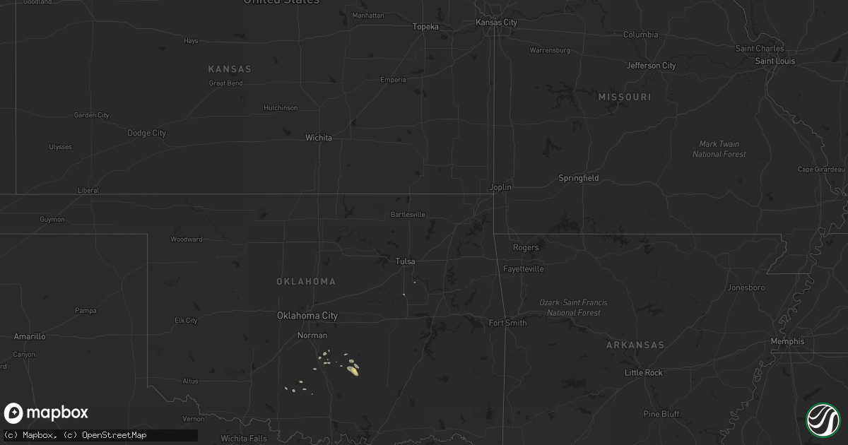
July 30 map
$229
one time, instant access
Download today. No call, no setup
Keep the $229
Bought the map and want the full workflow? Apply the entire $229 to a subscription within 7 days. None of it is wasted.
Every map, not just this one
This buys you this map. Subscription and you get every map we run, in the markets you choose from a few cities to whole states to nationwide. Plus real-time alerts the moment a storm fires.
Contact data
Name, contact info, occupancy, even credit band for addresses in the footprint. You go from where it hit to who to call.
Become the source they trust
Unlimited branding weather history reports on demand. You already have the documented answer ready for the property owner, and you are the one who showed up with it.
Property data and RoofTrace estimates
Pull up any address you have got, its value and the exact code rules for that jurisdiction, straight from One Click Code. Then RoofTrace estimates the squares, pitch, and roof value, priced the way you price.
Storm reports in South Dakota
South Dakota
| Date | Description |
|---|---|
| 07/30/20136:50 PM CDT | A local report indicates 60 MPH wind near 19 ESE SAINT FRANCIS |
| 07/30/20136:40 PM CDT | A local report indicates 2.50 inch wind near 6 SE SAINT FRANCIS |
| 07/30/20136:30 PM CDT | Estimated 60-70 mph winds drove hail into house and broke windows |
| 07/30/20136:30 PM CDT | A local report indicates 1.25 inch wind near 3 SSE HARDING |
| 07/30/20136:28 PM CDT | A local report indicates 1.00 inch wind near 5 NW HARDING |
| 07/30/20136:05 PM CDT | A local report indicates 1.00 inch wind near PARMELEE |
| 07/30/20136:00 PM CDT | A local report indicates 60 MPH wind near PARMELEE |
| 07/30/20135:57 PM CDT | Magpie creek raws |
| 07/30/20135:55 PM CDT | A local report indicates 60 MPH wind near 4 NW PARMELEE |
| 07/30/20135:30 PM CDT | A local report indicates 1.25 inch wind near 6 SSW ELM SPRINGS |
| 07/30/20135:15 PM CDT | A local report indicates 60 MPH wind near 5 SSE BELVIDERE |
| 07/30/20135:15 PM CDT | A local report indicates 70 MPH wind near 6 NNW KYLE |
| 07/30/20135:05 PM CDT | A local report indicates 1.75 inch wind near 2 NE KADOKA |
| 07/30/20135:00 PM CDT | A local report indicates 60 MPH wind near PHILIP |
| 07/30/20134:59 PM CDT | A local report indicates 72 MPH wind near INTERIOR |
| 07/30/20134:55 PM CDT | A local report indicates 1.00 inch wind near 10 W KEYAPAHA |
| 07/30/20134:52 PM CDT | A local report indicates 60 MPH wind near 3 E PHILIP |
| 07/30/20134:43 PM CDT | A local report indicates 60 MPH wind near PHILIP |
| 07/30/20134:39 PM CDT | A local report indicates 60 MPH wind near PHILIP |
| 07/30/20134:39 PM CDT | A local report indicates 1.75 inch wind near PHILIP |
| 07/30/20134:30 PM CDT | A local report indicates 1.25 inch wind near 11 WNW UNION CENTER |
| 07/30/20134:09 PM CDT | A local report indicates 1.00 inch wind near 3 NNE CREIGHTON |
| 07/30/20133:30 PM CDT | A local report indicates 1.00 inch wind near 7 SE ENNING |
| 07/30/20132:55 PM CDT | A local report indicates 1.75 inch wind near 9 W HOOVER |
| 07/29/20138:15 PM CDT | A local report indicates 60 MPH wind near 13 W OGLALA |
| 07/29/20137:55 PM CDT | A local report indicates 60 MPH wind near OELRICHS |
| 07/29/20137:45 PM CDT | A local report indicates 60 MPH wind near 5 W OELRICHS |
All States Impacted by Hail Map on July 30, 2013
Cities Impacted by Hail Map on July 30, 2013
- Ada, OK
- Long Pine, NE
- North Platte, NE
- Maywood, NE
- Big Springs, NE
- Brule, NE
- New England, ND
- Wauneta, NE
- Palisade, NE
- Kadoka, SD
- Buffalo, SD
- Ainsworth, NE
- Springview, NE
- Thermopolis, WY
- Williston, FL
- Marathon, TX
- New Underwood, SD
- Almont, ND
- Atwood, KS
- Tryon, NE
- Mission, SD
- Saint Francis, SD
- Whitney, NE
- Oelrichs, SD
- Edgemont, SD
- Chadron, NE
- Valentine, NE
- Crookston, NE
- Parmelee, SD
- White River, SD
- Norris, SD
- Callaway, NE
- Arnold, NE
- Philip, SD
- Winner, SD
- Elgin, ND
- Kyle, SD
- Quinn, SD
- Stapleton, NE
- Pauls Valley, OK
- Maysville, OK
- Fort Myers, FL
- Mullen, NE
- Merriman, NE
- Meeteetse, WY
- Crookston, MN
- Climax, MN
- Beltrami, MN
- Bismarck, ND
- Menoken, ND
- Whitman, NE
- Stratton, NE
- Wayne, OK
- Paoli, OK
- Shawmut, MT
- Dixie, GA
- Mandan, ND
- New Salem, ND
- Owanka, SD
- Duncan, OK
- Union Center, SD
- Enning, SD
- Mott, ND
- Kaycee, WY
- Newell, SD
- Wellfleet, NE
- Crane, TX
- Odessa, TX
- Belle Fourche, SD
- Cody, NE
- Johnstown, NE
- New Leipzig, ND
- Bassett, NE
- Byars, OK
- Asher, OK
- Seneca, NE
- Maxwell, NE
- Curtis, NE
- Goldsmith, TX
- Edson, KS
- Goodland, KS
- Elsmere, NE
- Wood, SD
- Rosebud, SD
- Wood Lake, NE
- Ludell, KS
- Lexington, OK
- Scenic, SD
- Sparks, NE
- Wasta, SD
- Capitol, MT
- Camp Crook, SD
- Wall, SD
- Arthur, NE
- Valier, MT
- Draper, SD
- Long Valley, SD
- Belvidere, SD
- Midland, SD
- Stratford, OK
- Midland, TX
- Caputa, SD
- Regent, ND
- Beggs, OK
- Purdum, NE
- Dunning, NE
- Pecos, TX
- Sterling, ND
- McDonald, KS
- Lewellen, NE
- Bronson, FL
- Hermosa, SD
- Kilgore, NE
- Anselmo, NE
- Howes, SD
- Halsey, NE
- Thedford, NE
- Okreek, SD
- Fort Stockton, TX
- Bixby, OK
- Fitzhugh, OK
- Branford, FL
- Elmore City, OK
- Hamilton, MS
- Lance Creek, WY
- Waycross, GA
- Newcastle, WY
- Oshkosh, NE
- Imperial, NE
- Hennepin, OK
- Dunnellon, FL
- Enders, NE
- Scranton, ND
- Amidon, ND
- Venango, NE
- Ogallala, NE
- Fort Myers Beach, FL
- Marlow, OK
- Paducah, TX
- Pyote, TX
- Foster, OK
- Saint Petersburg, FL
- Pinellas Park, FL
- Cape Coral, FL
- Ludowici, GA
- Brooksville, FL
- Rapid City, SD
- White Owl, SD


