Hail Map in Nebraska on July 30, 2013
Get this storm
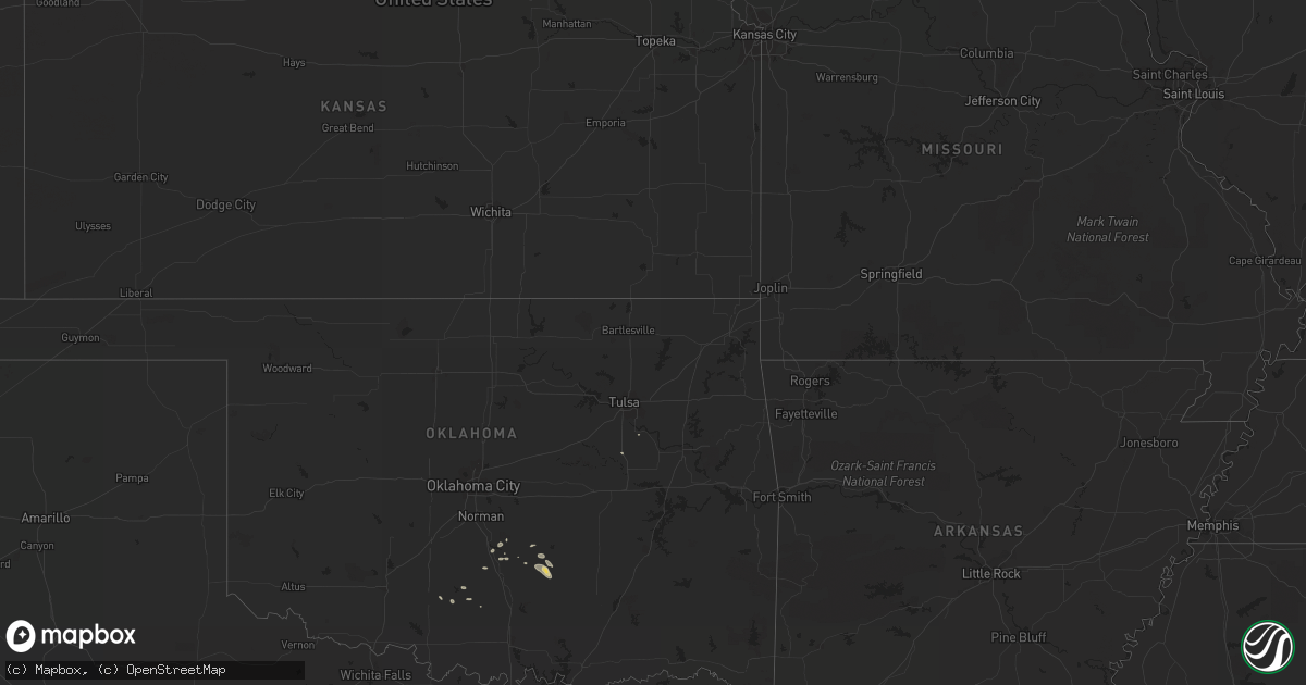
July 30 map
$229
one time, instant access
Download today. No call, no setup
Keep the $229
Bought the map and want the full workflow? Apply the entire $229 to a subscription within 7 days. None of it is wasted.
Every map, not just this one
This buys you this map. Subscription and you get every map we run, in the markets you choose from a few cities to whole states to nationwide. Plus real-time alerts the moment a storm fires.
Contact data
Name, contact info, occupancy, even credit band for addresses in the footprint. You go from where it hit to who to call.
Become the source they trust
Unlimited branding weather history reports on demand. You already have the documented answer ready for the property owner, and you are the one who showed up with it.
Property data and RoofTrace estimates
Pull up any address you have got, its value and the exact code rules for that jurisdiction, straight from One Click Code. Then RoofTrace estimates the squares, pitch, and roof value, priced the way you price.
Storm reports in Nebraska
Nebraska
| Date | Description |
|---|---|
| 07/30/20136:48 PM CDT | Golf ball size hail and winds gusting to 70 mph knocked windows out of vehicles. |
| 07/30/20136:45 PM CDT | Wind driven hail broke a few windows and damaged siding on the west side of valentine. |
| 07/30/20136:18 PM CDT | Window broken out of a home...stones as large as golf balls |
| 07/30/20136:15 PM CDT | Stones estimated to be as large as golf ball...covering the ground to the depth of an inch. |
| 07/30/20136:00 PM CDT | Wind gusts estimted at 50-60 mph. |
| 07/30/20136:00 PM CDT | A local report indicates 1.25 inch wind near 8 W SPRINGVIEW |
| 07/30/20135:35 PM CDT | A local report indicates 70 MPH wind near 28 S CODY |
| 07/30/20135:25 PM CDT | A local report indicates 1.75 inch wind near 24 WNW SPRINGVIEW |
| 07/30/20134:35 PM CDT | A local report indicates 60 MPH wind near 8 SE MERRIMAN |
| 07/30/20134:20 PM CDT | A local report indicates 1.00 inch wind near 20 NNW WHITMAN |
| 07/30/20134:20 PM CDT | A local report indicates 1.00 inch wind near 20 N WHITMAN |
| 07/30/20131:45 AM CDT | Downed live tree branches 4-5 inches in diameter. Time estimated from radar. |
| 07/30/20131:00 AM CDT | Estimated wind gust of 50 to 70 mph winds. Winds blew tin around in the yard. |
| 07/29/201311:15 PM CDT | 10 inch diameter branches downed. |
| 07/29/20139:23 PM CDT | Estimated 50-60 mph wind with the hail. |
| 07/29/20138:45 PM CDT | Numerous tree branches down. |
| 07/29/20138:43 PM CDT | Large 4 burner grill thrown 25 yards from deck and destroyed. Also a large patio table flipped with glass shattered. |
| 07/29/20138:40 PM CDT | A local report indicates 60 MPH wind near 7 N NORTH PLATTE |
| 07/29/20138:31 PM CDT | Three metal buildings destroyed the largest a 70 by 90 building. Power lines down on surburban road and several large trees blown down. A house had the north face slidi |
| 07/29/20138:27 PM CDT | A local report indicates 60 MPH wind near 15 N NORTH PLATTE |
| 07/29/20138:18 PM CDT | With strong winds to 50 mph. |
| 07/29/20138:11 PM CDT | Wind gusts in excess of 58 mph from 658 pm until 711 pm mdt. |
| 07/29/20138:06 PM CDT | A local report indicates 67 MPH wind near CHADRON AIRPORT |
| 07/29/20137:58 PM CDT | A local report indicates 58 MPH wind near CHADRON AIRPORT |
| 07/29/20137:52 PM CDT | 3-4 inch diameter cottonwood branch taken off. Public reported dime size hail too. |
| 07/29/20137:52 PM CDT | A local report indicates 60 MPH wind near 31 S VALENTINE |
| 07/29/20137:18 PM CDT | A local report indicates 1.75 inch wind near 5 S VALENTINE |
| 07/29/20137:17 PM CDT | A local report indicates 1.25 inch wind near 5 SE VALENTINE |
| 07/29/20137:14 PM CDT | A local report indicates 1.75 inch wind near 1 NW VALENTINE |
| 07/29/20137:06 PM CDT | A local report indicates 1.75 inch wind near VALENTINE |
| 07/29/20137:00 PM CDT | A local report indicates 1.75 inch wind near 3 E CROOKSTON |
| 07/29/20137:00 PM CDT | Quarter size hail with 60 mph wind gusts. |
| 07/29/20137:00 PM CDT | Spotter reported quarter size hail too. |
All States Impacted by Hail Map on July 30, 2013
Cities Impacted by Hail Map on July 30, 2013
- Ada, OK
- Long Pine, NE
- North Platte, NE
- Maywood, NE
- Big Springs, NE
- Brule, NE
- New England, ND
- Wauneta, NE
- Palisade, NE
- Kadoka, SD
- Buffalo, SD
- Ainsworth, NE
- Springview, NE
- Thermopolis, WY
- Williston, FL
- Marathon, TX
- New Underwood, SD
- Almont, ND
- Atwood, KS
- Tryon, NE
- Mission, SD
- Saint Francis, SD
- Whitney, NE
- Oelrichs, SD
- Edgemont, SD
- Chadron, NE
- Valentine, NE
- Crookston, NE
- Parmelee, SD
- White River, SD
- Norris, SD
- Callaway, NE
- Arnold, NE
- Philip, SD
- Winner, SD
- Elgin, ND
- Kyle, SD
- Quinn, SD
- Stapleton, NE
- Pauls Valley, OK
- Maysville, OK
- Fort Myers, FL
- Mullen, NE
- Merriman, NE
- Meeteetse, WY
- Crookston, MN
- Climax, MN
- Beltrami, MN
- Bismarck, ND
- Menoken, ND
- Whitman, NE
- Stratton, NE
- Wayne, OK
- Paoli, OK
- Shawmut, MT
- Dixie, GA
- Mandan, ND
- New Salem, ND
- Owanka, SD
- Duncan, OK
- Union Center, SD
- Enning, SD
- Mott, ND
- Kaycee, WY
- Newell, SD
- Wellfleet, NE
- Crane, TX
- Odessa, TX
- Belle Fourche, SD
- Cody, NE
- Johnstown, NE
- New Leipzig, ND
- Bassett, NE
- Byars, OK
- Asher, OK
- Seneca, NE
- Maxwell, NE
- Curtis, NE
- Goldsmith, TX
- Edson, KS
- Goodland, KS
- Elsmere, NE
- Wood, SD
- Rosebud, SD
- Wood Lake, NE
- Ludell, KS
- Lexington, OK
- Scenic, SD
- Sparks, NE
- Wasta, SD
- Capitol, MT
- Camp Crook, SD
- Wall, SD
- Arthur, NE
- Valier, MT
- Draper, SD
- Long Valley, SD
- Belvidere, SD
- Midland, SD
- Stratford, OK
- Midland, TX
- Caputa, SD
- Regent, ND
- Beggs, OK
- Purdum, NE
- Dunning, NE
- Pecos, TX
- Sterling, ND
- McDonald, KS
- Lewellen, NE
- Bronson, FL
- Hermosa, SD
- Kilgore, NE
- Anselmo, NE
- Howes, SD
- Halsey, NE
- Thedford, NE
- Okreek, SD
- Fort Stockton, TX
- Bixby, OK
- Fitzhugh, OK
- Branford, FL
- Elmore City, OK
- Hamilton, MS
- Lance Creek, WY
- Waycross, GA
- Newcastle, WY
- Oshkosh, NE
- Imperial, NE
- Hennepin, OK
- Dunnellon, FL
- Enders, NE
- Scranton, ND
- Amidon, ND
- Venango, NE
- Ogallala, NE
- Fort Myers Beach, FL
- Marlow, OK
- Paducah, TX
- Pyote, TX
- Foster, OK
- Saint Petersburg, FL
- Pinellas Park, FL
- Cape Coral, FL
- Ludowici, GA
- Brooksville, FL
- Rapid City, SD
- White Owl, SD


