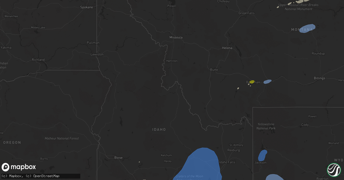
Hail Map in Idaho on July 25, 2024
Get this storm
July 25 map
$229
one time, instant access
Download today. No call, no setup
Keep the $229
Bought the map and want the full workflow? Apply the entire $229 to a subscription within 7 days. None of it is wasted.
Every map, not just this one
This buys you this map. Subscription and you get every map we run, in the markets you choose from a few cities to whole states to nationwide. Plus real-time alerts the moment a storm fires.
Contact data
Name, contact info, occupancy, even credit band for addresses in the footprint. You go from where it hit to who to call.
Become the source they trust
Unlimited branding weather history reports on demand. You already have the documented answer ready for the property owner, and you are the one who showed up with it.
Property data and RoofTrace estimates
Pull up any address you have got, its value and the exact code rules for that jurisdiction, straight from One Click Code. Then RoofTrace estimates the squares, pitch, and roof value, priced the way you price.
Storm reports in Idaho
Idaho
| Date | Description |
|---|---|
| 07/25/20246:44 PM CDT | Mesonet station roci1 5 n owinza. |
| 07/25/20245:45 PM CDT | Large tree branches down. Motor home flipped over. Power poles down. Outdoor structure damaged. |
| 07/24/20248:00 PM CDT | Mesonet station san sand dunes. |
| 07/24/20248:00 PM CDT | Mesonet station san sand dunes. (p |
| 07/24/20247:50 PM CDT | Mesonet station nrf inl naval reactors facility. |
| 07/24/20247:45 PM CDT | Mesonet station gri inl intec/grid 3. |
| 07/24/20247:15 PM CDT | Rwis itd32 sterling id-39. |
| 07/24/20247:10 PM CDT | Mesonet station abe 1 ne aberdeen. 1 ne aberdeen... Id. |
All States Impacted by Hail Map on July 25, 2024
Cities Impacted by Hail Map on July 25, 2024
- Patterson, CA
- Hampton, KY
- Lacassine, LA
- Lake Arthur, LA
- Welsh, LA
- Roanoke, LA
- Jennings, LA
- Pecos, NM
- Chinle, AZ
- Bluford, IL
- Las Vegas, NM
- Flagstaff, AZ
- Sells, AZ
- Kanab, UT
- Reserve, NM
- Bruneau, ID
- Young, AZ
- Cisne, IL
- Geraldine, MT
- Dewey, AZ
- Kirkland, AZ
- Spring Creek, NV
- Payson, AZ
- Kansas City, MO
- Big Sandy, MT
- Twin Falls, ID
- Filer, ID
- Prairie Village, KS
- Mission, KS
- Hansen, ID
- Kimberly, ID
- Harrisburg, IL
- Winifred, MT
- Leawood, KS
- Lloyd, MT
- Ray City, GA
- Lakeland, GA
- Carrier Mills, IL
- Hazelton, ID
- Murtaugh, ID
- King Hill, ID
- Morristown, AZ
- Eden, ID
- Cottonwood, AZ
- Concho, AZ
- Glenns Ferry, ID
- Ennis, MT
- Norris, MT
- Rupert, ID
- Bozeman, MT
- Osyka, MS
- Zortman, MT
- Wickenburg, AZ
- Lewistown, MT
- Grass Range, MT
- Winnett, MT
- Forest Grove, MT
- Mountain Home, ID
- Davis City, IA
- Lamoni, IA
- Richfield, ID
- Princeton, MO
- Roosevelt, AZ
- Gilman City, MO
- Trenton, MO
- Rio Rico, AZ
- Pocatello, ID
- Mccammon, ID
- Miami, AZ
- Tucson, AZ
- Benson, AZ
- Arbon, ID
- Livingston, MT
- American Falls, ID
- Aberdeen, ID
- Pingree, ID
- Springfield, ID
- Ajo, AZ
- West Wendover, NV
- Wendover, UT
- Malta, MT
- Fort Peck, MT
- Saco, MT
- Hinsdale, MT
- Glasgow, MT
- Vandalia, MT
- Bancroft, ID
- Apache Junction, AZ
- Fort Mcdowell, AZ
- Mesa, AZ
- Kingston, UT
- Vail, AZ
- Sahuarita, AZ
- Malad City, ID
- Paul, ID
- Arco, ID
- Moore, ID
- Carey, ID
- Howe, ID
- Blackfoot, ID
- Atomic City, ID
- Terreton, ID
- Idaho Falls, ID
- Shelley, ID
- Firth, ID
- Beaver, UT
- Circleville, UT
- Antimony, UT
- Panguitch, UT
- Green Valley, AZ
- Soda Springs, ID
- Grouse Creek, UT
- Marana, AZ
- Snowville, UT
- Eloy, AZ
- Hays, MT
- Moose, WY
- Jackson, WY
- Wilson, WY
- Moran, WY
- Kelly, WY
- Daniel, WY
- Pinedale, WY
- Bondurant, WY
- Big Piney, WY
- Cora, WY
- Laveen, AZ
- Avondale, AZ
- Goodyear, AZ
- Dugway, UT
- Grantsville, UT
- Tooele, UT
- Ogden, UT
- Corinne, UT
- Magna, UT
- Mount Lemmon, AZ
- Willcox, AZ
- Howell, UT
- Spickard, MO


