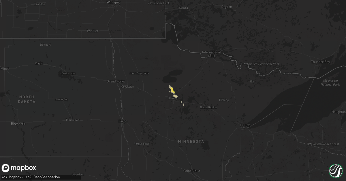
Hail Map on July 22, 2015
Get this storm
July 22 map
$229
one time, instant access
Download today. No call, no setup
Keep the $229
Bought the map and want the full workflow? Apply the entire $229 to a subscription within 7 days. None of it is wasted.
Every map, not just this one
This buys you this map. Subscription and you get every map we run, in the markets you choose from a few cities to whole states to nationwide. Plus real-time alerts the moment a storm fires.
Contact data
Name, contact info, occupancy, even credit band for addresses in the footprint. You go from where it hit to who to call.
Become the source they trust
Unlimited branding weather history reports on demand. You already have the documented answer ready for the property owner, and you are the one who showed up with it.
Property data and RoofTrace estimates
Pull up any address you have got, its value and the exact code rules for that jurisdiction, straight from One Click Code. Then RoofTrace estimates the squares, pitch, and roof value, priced the way you price.
States Impacted by Hail Map on July 22, 2015
Storm reports
Nevada
| Date | Description |
|---|---|
| 07/22/20154:20 PM CDT | Numerous reports from spotters and public of up to 6 inch tree branches broken off |
| 07/22/20154:15 PM CDT | A shed was destroyed by the wind. Shed had been there for 11 years and was thrown 130 ft...before being wrapped around a tree. |
Tennessee
| Date | Description |
|---|---|
| 07/22/20154:00 PM CDT | Trees down near collegedale. |
| 07/22/20153:46 PM CDT | Power lines down near wal mart in the eastgate area. |
Minnesota
| Date | Description |
|---|---|
| 07/22/20155:40 PM CDT | Birch tree broken down. Relayed via emergency managers page on social media. |
Alabama
| Date | Description |
|---|---|
| 07/22/20156:46 PM CDT | Tree down |
| 07/22/20156:37 PM CDT | Tree down near highway 9 and santuck |
| 07/22/20156:26 PM CDT | Tree down on noahs rd near wallsboro |
| 07/22/20154:40 PM CDT | Several trees down including large trees 1 mile west of dickert along highway 22. |
| 07/22/20154:27 PM CDT | One tree down on the railroad tracks near highway 25 and horton cove rd |
| 07/22/20154:15 PM CDT | Tree down near the cragford community. Also numerous trees down in multiple locations across the southern half of the county. Corrected for additional reports. |
| 07/22/20154:07 PM CDT | Tree down at oak street and 7th avenue. |
| 07/22/20154:04 PM CDT | Trees down along highway 22 near new site. Reported via social media. |
| 07/22/20153:55 PM CDT | Tree down along owens rd near ashland. Corrected report. |
| 07/22/20153:35 PM CDT | Two trees down on a powerline on 4 oaks road near henson springs. |
| 07/22/20153:30 PM CDT | Trees down in along hells creek rd and mitchell rd. Time estimated from radar. |
| 07/22/20153:24 PM CDT | Mobile home destroyed by a fallen tree on turkey creek rd. |
| 07/22/20153:15 PM CDT | One tree down along abernathy rd. Time estimated from radar. |
| 07/22/20152:53 PM CDT | One tree down along old sylacauga hwy near the water plant. Time estimated from radar. |
| 07/22/20152:50 PM CDT | *** 1 inj *** trees and power lines down along old birmingham hwy near intersection with gantts junction rd. One tree on a house with one person sustaining minor injuri |
| 07/22/20152:35 PM CDT | One tree down near the intersection of cedar creek rd and 7 sweet gums rd. Time estimated from radar. |
| 07/22/20151:24 PM CDT | Few trees down along south shades crest rd between hwy 150 and hwy 52. Time estimated from radar. |
| 07/21/20158:07 PM CDT | One tree down at coosada road at coosada creek. |
| 07/21/20157:56 PM CDT | One tree and one large limb down in the city of millbrook. |
Utah
| Date | Description |
|---|---|
| 07/22/20155:35 PM CDT | Power pole was blown down in south vernal by strong thunderstorm wind gusts. Power was out to a portion of the city as a result. |
South Carolina
| Date | Description |
|---|---|
| 07/22/20155:23 PM CDT | Bloody point resort reports numerous trees down in both the bloody point and oakridge plantation community |
| 07/22/20154:35 PM CDT | Emergency manager reported tree down near wild turkey run. Time estimated based on radar. |
| 07/22/20154:29 PM CDT | Sc highway patrol reports a tree down and in the roadway in the 6600 block of bears bluff road. Time estimated from radar. |
| 07/22/20153:54 PM CDT | Tree down across the roadway at the intersection of coosaw scenic dr and deloss point rd. Time estimated based on radar. |
| 07/22/20153:54 PM CDT | Multiple trees down on coosaw scenic dr. |
| 07/22/20153:40 PM CDT | Tree down across the roadway at the intersection of coosaw scenic dr and deloss point rd. Time estimated based on radar. |
Florida
| Date | Description |
|---|---|
| 07/22/20156:59 PM CDT | Tree in the right lane westbound on i-10 |
| 07/22/20156:08 PM CDT | Power lines down in havana. |
| 07/22/20155:35 PM CDT | Few trees down |
| 07/22/20155:25 PM CDT | Tree blown down onto flowers road. |
| 07/22/20155:03 PM CDT | Large tree limbs blown down in strong winds. Reported north of sneads on wjhg-tv facebook page. |
| 07/22/20154:40 PM CDT | Emergency manager reports tree blown down across powerlines that came down across the road near lakeshore drive and lakewood drive. The tree also took the power pole do |
| 07/22/20154:40 PM CDT | Reports of 2 powerlines down in the city of starke one of which is near state road 100 and laura street and have caused multiple traffic lights out in the city of stark |
| 07/22/20154:39 PM CDT | Tree fell on a power line near hwy 20 and county road 275. |
| 07/22/20154:30 PM CDT | Several trees down near wakulla gardens and dakota drive. |
| 07/22/20154:30 PM CDT | Several trees down near wakulla gardens and dakota drive. |
| 07/22/20154:25 PM CDT | A tree was blown down at the intersection of sw 160th street and sw 65th avenue on the northside of crosby lake. |
| 07/22/20154:12 PM CDT | Power lines down at hwy 77 and moss hill road. |
| 07/22/20154:00 PM CDT | Three power lines down along bream fountain road. |
| 07/22/20154:00 PM CDT | 58 mph measured gust at the fire station. |
| 07/22/20153:55 PM CDT | A spotter reported large oak limbs blown down and estimtaed wind gusts up to 55 mph. There were also several large signs and road signs blown down. |
| 07/22/20153:50 PM CDT | Top of a mcdonalds sign on beach blvd was ripped from the pole and blown about 50 feet. |
| 07/22/20153:45 PM CDT | Public report of powerline down along san jose blvd just south of i-295 beltway |
| 07/22/20152:50 PM CDT | Public twitter report and photo of a large tree down and blocking the interstate 295 southbound ramp from normandy blvd. |
Georgia
| Date | Description |
|---|---|
| 07/22/20156:30 PM CDT | Tree blown down along highway 319 near mile marker 6. |
| 07/22/20156:27 PM CDT | Trained spotter reported multiple trees down and a metal shed damaged at the intersection of hwy 80 at hwy 25 near hopeulikit. |
| 07/22/20156:27 PM CDT | One tree down on whitehurst street. |
| 07/22/20155:14 PM CDT | Three trees down along hwy 135 n. |
| 07/22/20154:57 PM CDT | One tree down on south morris ave between hwy 84 and hwy 91. |
| 07/22/20154:55 PM CDT | Several trees were blown down in gilmer county. |
| 07/22/20154:26 PM CDT | Tree blown down onto spooner quarter road. |
| 07/22/20154:20 PM CDT | Several trees were blown down...including on hwy 411 north...hwy 411 south...and hwy 52 alternate. |
| 07/22/20154:00 PM CDT | Several reports of trees and power lines down across the city of albany. |
| 07/22/20153:50 PM CDT | 53 knot peak gust measured at moody afb. Trees also reported down near the north gate of the base via a social media post to walb-tv facebook page. |
| 07/22/20153:36 PM CDT | Trees and powerlines down in graves... Ga. |
| 07/22/20153:25 PM CDT | Power line down near the intersection of spring flats road and greenleaf road. |
| 07/22/20152:58 PM CDT | Pole down on a residence on cordele road near staton drive. |
| 07/22/20152:55 PM CDT | Power lines down along branch road. |
Mississippi
| Date | Description |
|---|---|
| 07/22/20154:00 PM CDT | A tree and utility line were downed east of new hope |
| 07/22/20153:40 PM CDT | Numerous trees and limbs down around boyle. A large oak tree crushed a car and damaged a house. Another fell across a road. Reported by public |
Oklahoma
| Date | Description |
|---|---|
| 07/21/201510:37 PM CDT | A local report indicates 59 MPH wind near GUTHRIE |
Cities Impacted by Hail Map on July 22, 2015
- Attica, KS
- Glencoe, OK
- Stillwater, OK
- Isabel, KS
- Nashville, KS
- Atwood, KS
- Box Springs, GA
- Colby, KS
- Havana, FL
- Graceville, FL
- Soddy Daisy, TN
- Thomasville, AL
- McGehee, AR
- Thomasville, GA
- Hamill, SD
- Gregory, SD
- Alberta, AL
- Bell Buckle, TN
- Perry, OK
- Albany, GA
- Atmore, AL
- Arlington, AL
- Pine Hill, AL
- Magnolia, AL
- Puposky, MN
- Bemidji, MN
- Sulligent, AL
- Valley, AL
- Stratton, NE
- Palisade, NE
- Texhoma, OK
- Stratford, TX
- Hollywood, SC
- Trenton, NE
- Anthony, KS
- Culbertson, NE
- Gordon, AL
- Skipperville, AL
- Bascom, FL
- Chipley, FL
- Notasulga, AL
- Bonifay, FL
- Burbank, OK
- Rexford, KS
- Gem, KS
- Oakley, KS
- Lance Creek, WY
- South Pittsburg, TN
- Ashland, AL
- Harper, KS
- Nashville, GA
- Lusk, WY
- Cass Lake, MN
- Wetumpka, AL
- Hilton Head Island, SC
- Pratt, KS
- Monument, KS
- Lakeland, GA
- Valdosta, GA
- Nowata, OK
- Attapulgus, GA
- Quincy, FL
- Saint Augustine, FL
- Macon, MS
- Oxford, MS
- Abbeville, MS
- Ripley, OK
- Agra, OK
- Cushing, OK
- Holt, FL
- Guthrie, OK
- Gattman, MS
- Reliance, SD
- Batesville, MS
- Courtland, MS
- Alexander City, AL
- Sardis, AL
- Fernandina Beach, FL
- Clio, AL
- Ariton, AL
- Tallahassee, FL
- Ringgold, GA
- Apison, TN
- Wadley, AL
- Waukomis, OK
- Prattville, AL
- Millbrook, AL
- Sawyer, KS
- Tallassee, AL
- Montgomery, AL
- Yale, OK
- Selma, AL
- Eddyville, NE
- Oconto, NE
- Titus, AL
- Geneva, AL
- Bald Knob, AR
- Stroud, OK
- Camp Hill, AL
- Dadeville, AL
- Chelsea, OK
- Jacksonville, FL
- Donalsonville, GA
- Crawford, NE
- Searcy, AR
- Fort Pierce, FL
- Enid, MS
- Pope, MS
- McCalla, AL
- Woodstock, AL
- Torrington, WY
- Orrville, AL
- Camden, AL
- Kellyton, AL
- Goodwater, AL
- Timberon, NM
- Cloudcroft, NM
- Tulsa, OK
- Sand Springs, OK
- Shelbyville, TN
- Medicine Lodge, KS
- Pawnee, OK
- Hayes Center, NE
- Gould, AR
- Drumright, OK
- Sylvester, GA
- Zenda, KS
- Cragford, AL
- Lineville, AL
- Neptune Beach, FL
- Jacksonville Beach, FL
- Rohwer, AR
- Perkins, OK
- Cottondale, AL
- Vance, AL
- Sedan, KS
- Samson, AL
- Kinston, AL
- Hawthorne, FL
- Augusta, AR
- Perdido, AL
- Drummond, OK
- Childersburg, AL
- Sylacauga, AL
- Merino, CO
- Ooltewah, TN
- Cohutta, GA
- Harrison, NE
- Atlantic Beach, FL
- Caledonia, MS
- Vernon, AL
- Greenville, FL
- Dozier, AL
- Andalusia, AL
- Kaw City, OK
- Shidler, OK
- Orlando, FL
- Milan, KS
- Crawfordville, FL
- Geuda Springs, KS
- Depew, OK