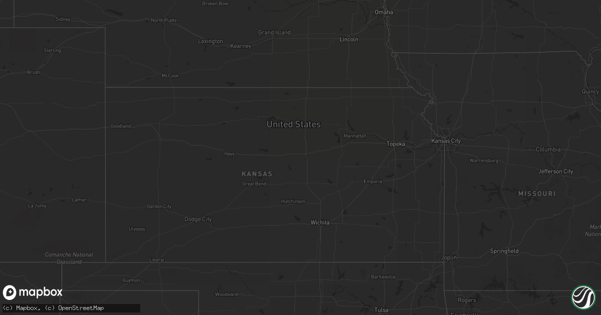
Hail Map in Arizona on July 15, 2013
Get this storm
July 15 map
$229
one time, instant access
Download today. No call, no setup
Keep the $229
Bought the map and want the full workflow? Apply the entire $229 to a subscription within 7 days. None of it is wasted.
Every map, not just this one
This buys you this map. Subscription and you get every map we run, in the markets you choose from a few cities to whole states to nationwide. Plus real-time alerts the moment a storm fires.
Contact data
Name, contact info, occupancy, even credit band for addresses in the footprint. You go from where it hit to who to call.
Become the source they trust
Unlimited branding weather history reports on demand. You already have the documented answer ready for the property owner, and you are the one who showed up with it.
Property data and RoofTrace estimates
Pull up any address you have got, its value and the exact code rules for that jurisdiction, straight from One Click Code. Then RoofTrace estimates the squares, pitch, and roof value, priced the way you price.
Storm reports in Arizona
Arizona
| Date | Description |
|---|---|
| 07/15/20136:57 PM CDT | Near 30th street and chandler blvd. Pea to marble size hail with 45-55 mph thunderstorm wind gusts. Numerous large trees blown down. |
| 07/15/20136:55 PM CDT | Downed tree. Time estimated by radar. |
| 07/15/20136:54 PM CDT | 0.25 inch hail. |
| 07/15/20135:37 PM CDT | Large downed tree in green valley. Time estimate based on radar. |
| 07/14/20139:00 PM CDT | Several people reported seeing a tornado touch down over winslow city park. No damage was reported. |
| 07/14/20138:12 PM CDT | About 30 power poles down on anway rd between manville and avra valley rd in avra valley. Time estimate based on radar. |
| 07/14/20137:45 PM CDT | 14 in. Diameter tree down and numerous 2 to 4 in. Branches blown off. |
| 07/14/20137:30 PM CDT | Downburst seen over chandler with o.5 mi. Vsby. In blowing dust. |
| 07/14/20137:30 PM CDT | 1-2 in. Diameter branches blown off and 200 yds. Vsby in hvy. Rain. |
| 07/14/20137:30 PM CDT | Over 50 trees blown down with diameters up to 12 in. Or larger in the lakewood subdivision. Roof damage on concrete tile roof. |
| 07/14/20137:05 PM CDT | 60 mph est thunderstorm winds blew semi truck off highway and overturned near i-10 and wild horse pass |
All States Impacted by Hail Map on July 15, 2013
Cities Impacted by Hail Map on July 15, 2013
- Scobey, MT
- Zahl, ND
- Alamo, ND
- Dragoon, AZ
- Morris, GA
- Columbia, AL
- Culbertson, MT
- Williston, ND
- Dagmar, MT
- Grenora, ND
- Epping, ND
- Ray, ND
- Bainville, MT
- Froid, MT
- Peerless, MT
- Wolf Point, MT
- Poplar, MT
- Brockton, MT
- Phoenix, AZ
- Palermo, ND
- Stanley, ND
- Berthold, ND
- Whitetail, MT
- Kingman, AZ
- Reserve, MT
- Medicine Lake, MT
- Tioga, ND
- Brooksville, FL
- Fortuna, ND
- Metter, GA
- Register, GA
- Antelope, MT
- Wildrose, ND
- Cuthbert, GA
- New Town, ND
- Watford City, ND
- Florien, LA
- Many, LA
- Parrott, GA
- Dawson, GA
- Shellman, GA
- Tucson, AZ
- New Braunfels, TX
- Marion, TX
- Inglis, FL
- Keene, ND
- Rio Rico, AZ
- Lumpkin, GA
- Powers Lake, ND
- Cochise, AZ
- Fairview, MT
- Flaxville, MT
- Statesboro, GA
- Gillette, WY
- Homestead, MT


