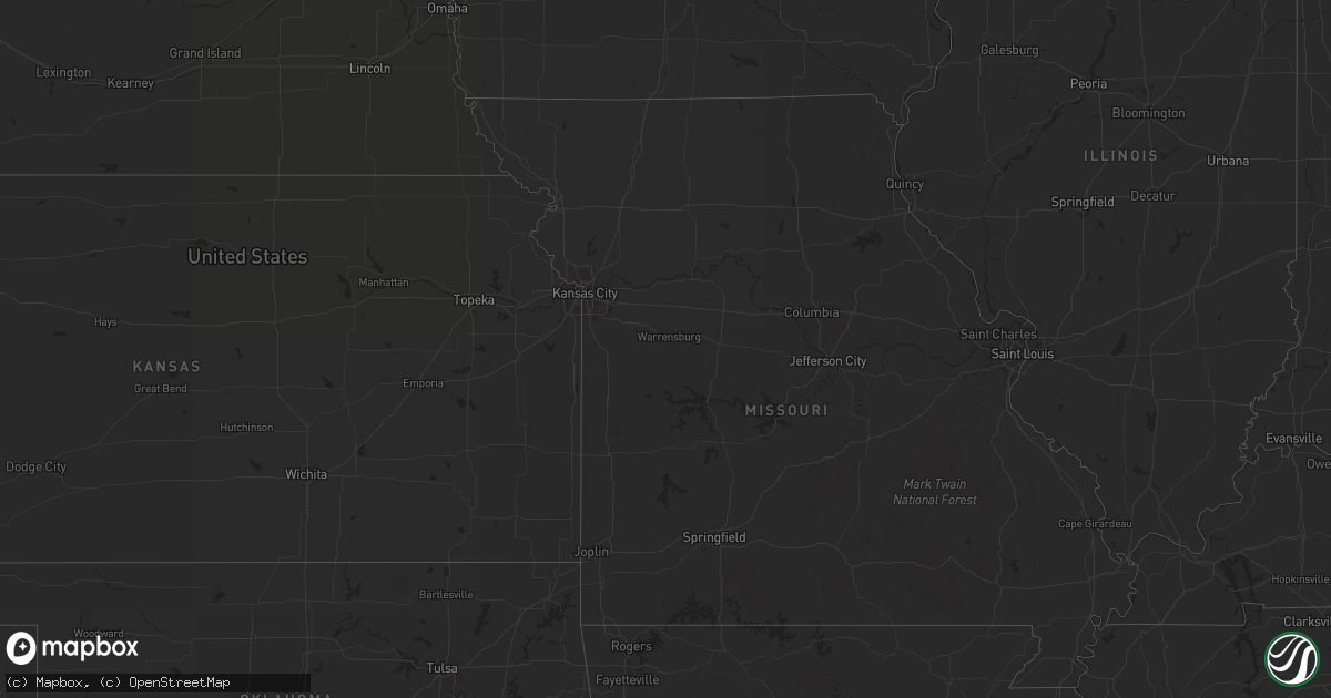
Hail Map on July 15, 2013
Get this storm
July 15 map
$229
one time, instant access
Download today. No call, no setup
Keep the $229
Bought the map and want the full workflow? Apply the entire $229 to a subscription within 7 days. None of it is wasted.
Every map, not just this one
This buys you this map. Subscription and you get every map we run, in the markets you choose from a few cities to whole states to nationwide. Plus real-time alerts the moment a storm fires.
Contact data
Name, contact info, occupancy, even credit band for addresses in the footprint. You go from where it hit to who to call.
Become the source they trust
Unlimited branding weather history reports on demand. You already have the documented answer ready for the property owner, and you are the one who showed up with it.
Property data and RoofTrace estimates
Pull up any address you have got, its value and the exact code rules for that jurisdiction, straight from One Click Code. Then RoofTrace estimates the squares, pitch, and roof value, priced the way you price.
States Impacted by Hail Map on July 15, 2013
Storm reports
Arizona
| Date | Description |
|---|---|
| 07/15/20136:57 PM CDT | Near 30th street and chandler blvd. Pea to marble size hail with 45-55 mph thunderstorm wind gusts. Numerous large trees blown down. |
| 07/15/20136:55 PM CDT | Downed tree. Time estimated by radar. |
| 07/15/20136:54 PM CDT | 0.25 inch hail. |
| 07/15/20135:37 PM CDT | Large downed tree in green valley. Time estimate based on radar. |
| 07/14/20139:00 PM CDT | Several people reported seeing a tornado touch down over winslow city park. No damage was reported. |
| 07/14/20138:12 PM CDT | About 30 power poles down on anway rd between manville and avra valley rd in avra valley. Time estimate based on radar. |
| 07/14/20137:45 PM CDT | 14 in. Diameter tree down and numerous 2 to 4 in. Branches blown off. |
| 07/14/20137:30 PM CDT | Downburst seen over chandler with o.5 mi. Vsby. In blowing dust. |
| 07/14/20137:30 PM CDT | 1-2 in. Diameter branches blown off and 200 yds. Vsby in hvy. Rain. |
| 07/14/20137:30 PM CDT | Over 50 trees blown down with diameters up to 12 in. Or larger in the lakewood subdivision. Roof damage on concrete tile roof. |
| 07/14/20137:05 PM CDT | 60 mph est thunderstorm winds blew semi truck off highway and overturned near i-10 and wild horse pass |
Montana
| Date | Description |
|---|---|
| 07/15/20136:58 PM CDT | A local report indicates 60 MPH wind near MEDICINE LAKE |
| 07/15/20136:09 PM CDT | Video of tornado sent to nws... Tornado on the ground at 509 pm mdt. |
| 07/15/20135:55 PM CDT | A local report indicates 1.00 inch wind near 24 NNW BROCKTON |
| 07/15/20135:41 PM CDT | Tornado is visible 22 miles north of poplar. |
| 07/15/20135:35 PM CDT | A local report indicates 60 MPH wind near 10 NE MOORHEAD |
| 07/15/20135:10 PM CDT | A local report indicates 1.00 inch wind near 1 S PORT OF SCOBEY |
| 07/15/20135:00 PM CDT | A local report indicates 1.75 inch wind near 6 NW SCOBEY |
| 07/15/20135:00 PM CDT | Public reports a tornado on the ground on state route 13 near mile marker 23 at 4 pm. |
| 07/15/20135:00 PM CDT | A local report indicates 1.00 inch wind near 4 NW SCOBEY |
| 07/15/20134:55 PM CDT | Crop damage from hail |
| 07/15/20134:45 PM CDT | Law enforcement is reporting multiple calls of a torando on the ground east of volt near state highway 13. |
| 07/14/20139:15 PM CDT | A local report indicates 1.00 inch wind near 5 ESE BAINVILLE |
| 07/14/20138:30 PM CDT | A local report indicates 1.00 inch wind near 8 NE CULBERTSON |
Utah
| Date | Description |
|---|---|
| 07/14/20139:44 PM CDT | Great salt lake marina - 4206 ft |
Idaho
| Date | Description |
|---|---|
| 07/15/20134:50 PM CDT | 67 mph wind gusts with 43 mph sustained winds at time of gusts. |
Wyoming
| Date | Description |
|---|---|
| 07/15/20135:47 PM CDT | A local report indicates 60 MPH wind near 7 NNE DOWNTOWN GILLETTE |
Texas
| Date | Description |
|---|---|
| 07/15/20134:20 PM CDT | 1 to 2 inch diameter tree limbs blown down at fredericksburg rd and landa park. Winds estimated at 40 to 50 mph. |
North Dakota
| Date | Description |
|---|---|
| 07/14/201311:00 PM CDT | A local report indicates 60 MPH wind near MOHALL |
Alabama
| Date | Description |
|---|---|
| 07/15/20136:35 PM CDT | Tree fell on a power line along county road 5. |
| 07/15/20136:15 PM CDT | Tree down across county road 4. |
| 07/15/20135:32 PM CDT | A couple of trees reported down just south of ozark. Time estimated by radar data. |
| 07/15/20135:30 PM CDT | Tree in the road on willow oaks dr |
| 07/15/20135:30 PM CDT | Tree down on power line on mixon school road. |
| 07/15/20135:29 PM CDT | Tree in the road on lakeview road and campground road |
| 07/15/20135:25 PM CDT | Tree in the road on porter andrews road off of highway 123 south. |
| 07/15/20135:25 PM CDT | Tree down on a power line on laurel ct. |
Cities Impacted by Hail Map on July 15, 2013
- Scobey, MT
- Zahl, ND
- Alamo, ND
- Dragoon, AZ
- Morris, GA
- Columbia, AL
- Culbertson, MT
- Williston, ND
- Dagmar, MT
- Grenora, ND
- Epping, ND
- Ray, ND
- Bainville, MT
- Froid, MT
- Peerless, MT
- Wolf Point, MT
- Poplar, MT
- Brockton, MT
- Phoenix, AZ
- Palermo, ND
- Stanley, ND
- Berthold, ND
- Whitetail, MT
- Kingman, AZ
- Reserve, MT
- Medicine Lake, MT
- Tioga, ND
- Brooksville, FL
- Fortuna, ND
- Metter, GA
- Register, GA
- Antelope, MT
- Wildrose, ND
- Cuthbert, GA
- New Town, ND
- Watford City, ND
- Florien, LA
- Many, LA
- Parrott, GA
- Dawson, GA
- Shellman, GA
- Tucson, AZ
- New Braunfels, TX
- Marion, TX
- Inglis, FL
- Keene, ND
- Rio Rico, AZ
- Lumpkin, GA
- Powers Lake, ND
- Cochise, AZ
- Fairview, MT
- Flaxville, MT
- Statesboro, GA
- Gillette, WY
- Homestead, MT