Hail Map in Alabama on July 15, 2013
Get this storm
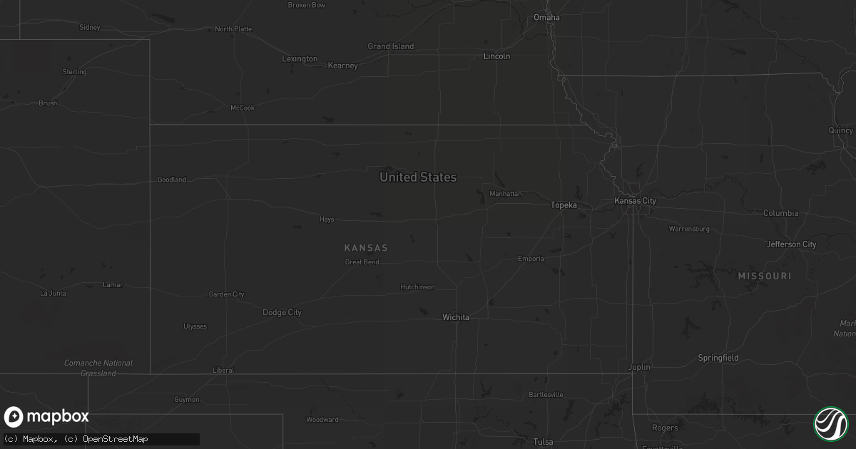
July 15 map
$229
one time, instant access
Download today. No call, no setup
Keep the $229
Bought the map and want the full workflow? Apply the entire $229 to a subscription within 7 days. None of it is wasted.
Every map, not just this one
This buys you this map. Subscription and you get every map we run, in the markets you choose from a few cities to whole states to nationwide. Plus real-time alerts the moment a storm fires.
Contact data
Name, contact info, occupancy, even credit band for addresses in the footprint. You go from where it hit to who to call.
Become the source they trust
Unlimited branding weather history reports on demand. You already have the documented answer ready for the property owner, and you are the one who showed up with it.
Property data and RoofTrace estimates
Pull up any address you have got, its value and the exact code rules for that jurisdiction, straight from One Click Code. Then RoofTrace estimates the squares, pitch, and roof value, priced the way you price.
Storm reports in Alabama
Alabama
| Date | Description |
|---|---|
| 07/15/20136:35 PM CDT | Tree fell on a power line along county road 5. |
| 07/15/20136:15 PM CDT | Tree down across county road 4. |
| 07/15/20135:32 PM CDT | A couple of trees reported down just south of ozark. Time estimated by radar data. |
| 07/15/20135:30 PM CDT | Tree down on power line on mixon school road. |
| 07/15/20135:30 PM CDT | Tree in the road on willow oaks dr |
| 07/15/20135:29 PM CDT | Tree in the road on lakeview road and campground road |
| 07/15/20135:25 PM CDT | Tree down on a power line on laurel ct. |
| 07/15/20135:25 PM CDT | Tree in the road on porter andrews road off of highway 123 south. |
All States Impacted by Hail Map on July 15, 2013
Cities Impacted by Hail Map on July 15, 2013
- Scobey, MT
- Zahl, ND
- Alamo, ND
- Dragoon, AZ
- Morris, GA
- Columbia, AL
- Culbertson, MT
- Williston, ND
- Dagmar, MT
- Grenora, ND
- Epping, ND
- Ray, ND
- Bainville, MT
- Froid, MT
- Peerless, MT
- Wolf Point, MT
- Poplar, MT
- Brockton, MT
- Phoenix, AZ
- Palermo, ND
- Stanley, ND
- Berthold, ND
- Whitetail, MT
- Kingman, AZ
- Reserve, MT
- Medicine Lake, MT
- Tioga, ND
- Brooksville, FL
- Fortuna, ND
- Metter, GA
- Register, GA
- Antelope, MT
- Wildrose, ND
- Cuthbert, GA
- New Town, ND
- Watford City, ND
- Florien, LA
- Many, LA
- Parrott, GA
- Dawson, GA
- Shellman, GA
- Tucson, AZ
- New Braunfels, TX
- Marion, TX
- Inglis, FL
- Keene, ND
- Rio Rico, AZ
- Lumpkin, GA
- Powers Lake, ND
- Cochise, AZ
- Fairview, MT
- Flaxville, MT
- Statesboro, GA
- Gillette, WY
- Homestead, MT


