Hail Map in North Carolina on July 12, 2013
Get this storm
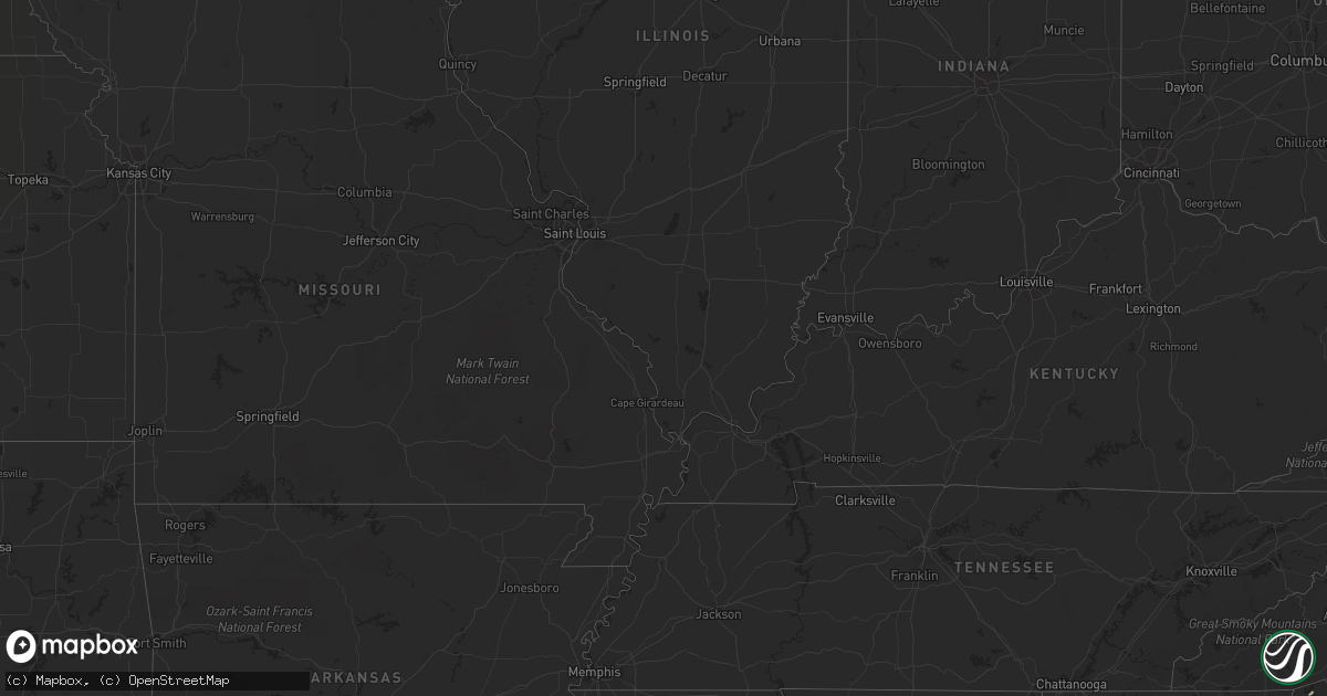
July 12 map
$229
one time, instant access
Download today. No call, no setup
Keep the $229
Bought the map and want the full workflow? Apply the entire $229 to a subscription within 7 days. None of it is wasted.
Every map, not just this one
This buys you this map. Subscription and you get every map we run, in the markets you choose from a few cities to whole states to nationwide. Plus real-time alerts the moment a storm fires.
Contact data
Name, contact info, occupancy, even credit band for addresses in the footprint. You go from where it hit to who to call.
Become the source they trust
Unlimited branding weather history reports on demand. You already have the documented answer ready for the property owner, and you are the one who showed up with it.
Property data and RoofTrace estimates
Pull up any address you have got, its value and the exact code rules for that jurisdiction, straight from One Click Code. Then RoofTrace estimates the squares, pitch, and roof value, priced the way you price.
Storm reports in North Carolina
North Carolina
| Date | Description |
|---|---|
| 07/12/20134:10 PM CDT | Reports of a few trees down from tryon to green creek. |
| 07/12/20134:10 PM CDT | Several reports of trees down along baber...big island and coxe roads. |
| 07/12/20133:47 PM CDT | Trees down along hudlow rd and hwy 74 |
| 07/12/20133:47 PM CDT | Trees down along hwy 221 and shepards creek rd |
| 07/12/20133:40 PM CDT | Tree down and gas line rupture on oscar justice rd. |
| 07/12/20132:17 PM CDT | Downed trees on powerlines along hwy 70 |
| 07/12/20132:15 PM CDT | A local report indicates 1.00 inch wind near 2 E GLEN ALPINE |
| 07/11/20139:33 PM CDT | Observed along jenkins road |
| 07/11/20139:20 PM CDT | Public report of quarter size hail. |
| 07/11/20139:05 PM CDT | Spotter relayed reports of multiple trees down on eastern half of byrd road from last friday evenings storm and a few trees fell on homes along the road. |
| 07/11/20138:52 PM CDT | Trees and powerlines down along kathy road. |
| 07/11/20138:52 PM CDT | Observed along kathy road. |
| 07/11/20138:45 PM CDT | Trees down along interstate 40 |
| 07/11/20138:10 PM CDT | Half dollar size hail reported in lenoir. |
| 07/11/20137:55 PM CDT | Trees down on power lines. |
| 07/11/20137:55 PM CDT | County eoc reports numerous trees down around collettsville. |
| 07/11/20137:55 PM CDT | Emergency manager reports quarter size hail. |
| 07/11/20137:40 PM CDT | County emergency services reports widespread trees and power lines down throughout the collettsville area. One downed line caused a fire with considerable structural da |
All States Impacted by Hail Map on July 12, 2013
Cities Impacted by Hail Map on July 12, 2013
- Grady, AL
- Becker, MN
- Rutland, ND
- Forman, ND
- Box Springs, GA
- Mauk, GA
- Buena Vista, GA
- Gregory, SD
- Winner, SD
- Dallas, SD
- Camp Hill, AL
- Butte, NE
- Fairfax, SD
- Collettsville, NC
- Lenoir, NC
- Jay, FL
- Hull, GA
- Colbert, GA
- Suwanee, GA
- Calhoun Falls, SC
- Beaumont, TX
- Sour Lake, TX
- Brewton, AL
- Amherstdale, WV
- Moss Point, MS
- Grygla, MN
- Easley, SC
- Piedmont, SC
- Albany, GA
- Waubay, SD
- Webster, SD
- Lidgerwood, ND
- Baconton, GA
- Marrero, LA
- Sylvester, GA
- Hope Hull, AL
- Mizpah, MN
- Northome, MN
- Thief River Falls, MN
- Alapaha, GA
- Colome, SD
- Clermont, GA
- Lula, GA
- Cleveland, GA
- Clarkesville, GA
- Roslyn, SD
- Navarre, FL
- Gulf Breeze, FL
- South Charleston, WV
- Alum Creek, WV
- Potter, NE
- Gurley, NE
- Dalton, NE
- Bowersville, GA
- Hartwell, GA
- Lavonia, GA
- Ponemah, MN
- Goodridge, MN
- Kenna, WV
- Lafitte, LA
- Naper, NE
- White Castle, LA
- Fairmount, ND
- Charleston, WV
- Elkview, WV
- Walton, WV
- Morganton, NC
- Grand Forks, ND
- Saint Augustine, FL
- Colquitt, GA
- Tintah, MN
- Lodgepole, NE
- Chappell, NE
- Grenville, SD
- Pierpont, SD
- Lockport, LA
- Vancleave, MS
- Le Sueur, MN
- Le Center, MN
- Michigan, ND
- Mcville, ND
- Lakota, ND
- Sarah Ann, WV
- Omar, WV
- Fort Morgan, CO
- Pass Christian, MS
- Anderson, SC
- Florala, AL
- Semmes, AL
- Mobile, AL
- Ambrose, GA
- Broxton, GA
- Belleville, WV
- Cut Off, LA
- Grove Hill, AL
- Jackson, AL
- Old Fort, NC
- Marion, NC
- Riverdale, GA
- Atlanta, GA
- Gilbert, WV
- Delbarton, WV
- Bonifay, FL
- Elba, AL
- Junction City, GA
- Gulfport, MS
- Kilgore, NE
- Gold Canyon, AZ
- Saucier, MS
- Vidor, TX
- Clio, AL
- Goshen, AL
- Glenwood, AL
- Troy, AL
- Liberty, SC
- Florence, AZ
- Union Mills, NC
- Rutherfordton, NC
- Forest City, NC
- Bim, WV
- Honoraville, AL
- Luverne, AL
- Highland Home, AL
- Banks, AL
- Union Springs, AL
- Clemson, SC
- Pendleton, SC
- Biloxi, MS
- Merino, CO
- Snyder, CO
- Emerado, ND
- East Grand Forks, MN
- Mission, SD
- Manvel, ND
- Hillrose, CO
- Akron, CO
- Kelliher, MN
- Lagrange, GA
- Tifton, GA
- Lilburn, GA
- Tucker, GA
- Clarkston, GA
- Norcross, GA
- Stone Mountain, GA
- Senoia, GA
- Green Cove Springs, FL
- Omega, GA
- Byers, CO
- Deer Trail, CO
- Wilmer, AL
- Sod, WV
- Saint Albans, WV
- Sumerco, WV
- Crestview, FL
- Baker, FL
- Saint Hilaire, MN
- Fort Mitchell, AL
- Pittsview, AL
- Belle Plaine, MN
- Pekin, ND
- Tolna, ND
- Oak Hill, FL
- Lake Charles, LA
- Conley, GA
- Ellenwood, GA
- Cayuga, ND
- Spring, TX
- Cleveland, MN
- Norcross, MN
- Elbow Lake, MN
- Barrett, MN
- Placitas, NM
- Brush, CO
- Barnesville, GA
- Fayetteville, GA
- Gainesville, GA
- Advent, WV
- Newfolden, MN
- Middle River, MN
- Wray, GA
- Pine Apple, AL
- Minter, AL
- Cusseta, AL
- Campbellton, FL
- Graceville, FL
- Chipley, FL
- Demorest, GA
- Wetumpka, AL
- Brooks, GA
- Concord, GA
- Griffin, GA
- Williamson, GA
- Zionville, NC
- Trade, TN
- Vilas, NC
- Monticello, MN
- Kilkenny, MN
- Palm City, FL
- Long Beach, MS
- Cottondale, FL
- Dadeville, AL
- Summersville, WV
- Picayune, MS
- Preston, GA
- Eden, SD
- Hastings, FL
- Enigma, GA
- Dothan, AL
- Cumming, GA
- Dawsonville, GA
- Hankinson, ND
- Lucedale, MS
- Franklin, LA
- Darrow, LA
- Gonzales, LA
- Sorrento, LA
- Jordan, MN
- Northwood, ND
- Arvilla, ND
- Omaha, GA
- Waterville, MN
- Eatonton, GA
- Greenville, SC
- Doerun, GA
- Clear Lake, MN
- Madison Lake, MN
- Coffee Springs, AL
- Geneva, AL
- Chancellor, AL
- Opelika, AL
- Brinson, GA
- Hernshaw, WV
- Molena, GA
- Campbell, MN
- Salem, SC
- Sunset, SC
- Cologne, MN
- Carver, MN
- Butler, GA
- Scottdale, GA
- Duluth, GA
- Avondale Estates, GA
- Pine Lake, GA
- Lawrenceville, GA
- Decatur, GA
- Forest Park, GA
- Cogswell, ND
- Port Orange, FL
- Blackduck, MN
- Magnolia, TX
- Athens, GA
- Norman Park, GA
- Moultrie, GA
- Georgetown, GA
- Tallassee, AL
- Murrayville, GA
- Henderson, MN
- Monroeville, AL
- Marianna, FL
- Wellford, SC
- Lyman, SC
- Louisville, AL
- Royston, GA
- Danielsville, GA
- Jeanerette, LA
- Morgan City, LA
- Freeport, MN
- Albany, MN
- Iron City, GA
- Donalsonville, GA
- Larimore, ND
- Westwego, LA
- Mekinock, ND
- Auburn, AL
- Shiloh, GA
- Manchester, GA
- Arlington, GA
- Seneca, SC
- Bainbridge, GA
- Elysian, MN
- Lenox, GA
- Nashville, GA


