Hail Map in Georgia on July 12, 2013
Get this storm
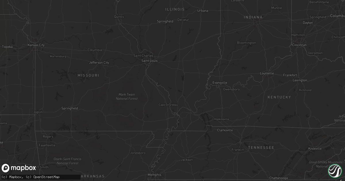
July 12 map
$229
one time, instant access
Download today. No call, no setup
Keep the $229
Bought the map and want the full workflow? Apply the entire $229 to a subscription within 7 days. None of it is wasted.
Every map, not just this one
This buys you this map. Subscription and you get every map we run, in the markets you choose from a few cities to whole states to nationwide. Plus real-time alerts the moment a storm fires.
Contact data
Name, contact info, occupancy, even credit band for addresses in the footprint. You go from where it hit to who to call.
Become the source they trust
Unlimited branding weather history reports on demand. You already have the documented answer ready for the property owner, and you are the one who showed up with it.
Property data and RoofTrace estimates
Pull up any address you have got, its value and the exact code rules for that jurisdiction, straight from One Click Code. Then RoofTrace estimates the squares, pitch, and roof value, priced the way you price.
Storm reports in Georgia
Georgia
| Date | Description |
|---|---|
| 07/12/20136:20 PM CDT | Several trees were blown down across the county. |
| 07/12/20135:41 PM CDT | Tree down and other large branchs of trees near by in yards |
| 07/12/20135:27 PM CDT | Tree down and other large branchs of trees near by in yards |
| 07/12/20135:10 PM CDT | Numerous trees and power lines were blown down across the county. Power lines were downed on highway 85 in riverdale causing the road to be shut down. |
| 07/12/20134:20 PM CDT | A tree fell onto a car at the intersection of glenwood drive and derrill drive. |
| 07/12/20134:07 PM CDT | Trees were blown down along cypress pond road. The time of damage was based on radar imagery. |
| 07/12/20134:05 PM CDT | A tree was blown down on presidential drive. |
| 07/12/20134:00 PM CDT | Public reported quarter sized hail. |
| 07/12/20134:00 PM CDT | One tree was blown down at plantation lane. Another tree was blown down onto sterling road. |
| 07/12/20133:10 PM CDT | A tree was blown down across mount zion road at the intersection of vaughn road. |
All States Impacted by Hail Map on July 12, 2013
Cities Impacted by Hail Map on July 12, 2013
- Grady, AL
- Becker, MN
- Rutland, ND
- Forman, ND
- Box Springs, GA
- Mauk, GA
- Buena Vista, GA
- Gregory, SD
- Winner, SD
- Dallas, SD
- Camp Hill, AL
- Butte, NE
- Fairfax, SD
- Collettsville, NC
- Lenoir, NC
- Jay, FL
- Hull, GA
- Colbert, GA
- Suwanee, GA
- Calhoun Falls, SC
- Beaumont, TX
- Sour Lake, TX
- Brewton, AL
- Amherstdale, WV
- Moss Point, MS
- Grygla, MN
- Easley, SC
- Piedmont, SC
- Albany, GA
- Waubay, SD
- Webster, SD
- Lidgerwood, ND
- Baconton, GA
- Marrero, LA
- Sylvester, GA
- Hope Hull, AL
- Mizpah, MN
- Northome, MN
- Thief River Falls, MN
- Alapaha, GA
- Colome, SD
- Clermont, GA
- Lula, GA
- Cleveland, GA
- Clarkesville, GA
- Roslyn, SD
- Navarre, FL
- Gulf Breeze, FL
- South Charleston, WV
- Alum Creek, WV
- Potter, NE
- Gurley, NE
- Dalton, NE
- Bowersville, GA
- Hartwell, GA
- Lavonia, GA
- Ponemah, MN
- Goodridge, MN
- Kenna, WV
- Lafitte, LA
- Naper, NE
- White Castle, LA
- Fairmount, ND
- Charleston, WV
- Elkview, WV
- Walton, WV
- Morganton, NC
- Grand Forks, ND
- Saint Augustine, FL
- Colquitt, GA
- Tintah, MN
- Lodgepole, NE
- Chappell, NE
- Grenville, SD
- Pierpont, SD
- Lockport, LA
- Vancleave, MS
- Le Sueur, MN
- Le Center, MN
- Michigan, ND
- Mcville, ND
- Lakota, ND
- Sarah Ann, WV
- Omar, WV
- Fort Morgan, CO
- Pass Christian, MS
- Anderson, SC
- Florala, AL
- Semmes, AL
- Mobile, AL
- Ambrose, GA
- Broxton, GA
- Belleville, WV
- Cut Off, LA
- Grove Hill, AL
- Jackson, AL
- Old Fort, NC
- Marion, NC
- Riverdale, GA
- Atlanta, GA
- Gilbert, WV
- Delbarton, WV
- Bonifay, FL
- Elba, AL
- Junction City, GA
- Gulfport, MS
- Kilgore, NE
- Gold Canyon, AZ
- Saucier, MS
- Vidor, TX
- Clio, AL
- Goshen, AL
- Glenwood, AL
- Troy, AL
- Liberty, SC
- Florence, AZ
- Union Mills, NC
- Rutherfordton, NC
- Forest City, NC
- Bim, WV
- Honoraville, AL
- Luverne, AL
- Highland Home, AL
- Banks, AL
- Union Springs, AL
- Clemson, SC
- Pendleton, SC
- Biloxi, MS
- Merino, CO
- Snyder, CO
- Emerado, ND
- East Grand Forks, MN
- Mission, SD
- Manvel, ND
- Hillrose, CO
- Akron, CO
- Kelliher, MN
- Lagrange, GA
- Tifton, GA
- Lilburn, GA
- Tucker, GA
- Clarkston, GA
- Norcross, GA
- Stone Mountain, GA
- Senoia, GA
- Green Cove Springs, FL
- Omega, GA
- Byers, CO
- Deer Trail, CO
- Wilmer, AL
- Sod, WV
- Saint Albans, WV
- Sumerco, WV
- Crestview, FL
- Baker, FL
- Saint Hilaire, MN
- Fort Mitchell, AL
- Pittsview, AL
- Belle Plaine, MN
- Pekin, ND
- Tolna, ND
- Oak Hill, FL
- Lake Charles, LA
- Conley, GA
- Ellenwood, GA
- Cayuga, ND
- Spring, TX
- Cleveland, MN
- Norcross, MN
- Elbow Lake, MN
- Barrett, MN
- Placitas, NM
- Brush, CO
- Barnesville, GA
- Fayetteville, GA
- Gainesville, GA
- Advent, WV
- Newfolden, MN
- Middle River, MN
- Wray, GA
- Pine Apple, AL
- Minter, AL
- Cusseta, AL
- Campbellton, FL
- Graceville, FL
- Chipley, FL
- Demorest, GA
- Wetumpka, AL
- Brooks, GA
- Concord, GA
- Griffin, GA
- Williamson, GA
- Zionville, NC
- Trade, TN
- Vilas, NC
- Monticello, MN
- Kilkenny, MN
- Palm City, FL
- Long Beach, MS
- Cottondale, FL
- Dadeville, AL
- Summersville, WV
- Picayune, MS
- Preston, GA
- Eden, SD
- Hastings, FL
- Enigma, GA
- Dothan, AL
- Cumming, GA
- Dawsonville, GA
- Hankinson, ND
- Lucedale, MS
- Franklin, LA
- Darrow, LA
- Gonzales, LA
- Sorrento, LA
- Jordan, MN
- Northwood, ND
- Arvilla, ND
- Omaha, GA
- Waterville, MN
- Eatonton, GA
- Greenville, SC
- Doerun, GA
- Clear Lake, MN
- Madison Lake, MN
- Coffee Springs, AL
- Geneva, AL
- Chancellor, AL
- Opelika, AL
- Brinson, GA
- Hernshaw, WV
- Molena, GA
- Campbell, MN
- Salem, SC
- Sunset, SC
- Cologne, MN
- Carver, MN
- Butler, GA
- Scottdale, GA
- Duluth, GA
- Avondale Estates, GA
- Pine Lake, GA
- Lawrenceville, GA
- Decatur, GA
- Forest Park, GA
- Cogswell, ND
- Port Orange, FL
- Blackduck, MN
- Magnolia, TX
- Athens, GA
- Norman Park, GA
- Moultrie, GA
- Georgetown, GA
- Tallassee, AL
- Murrayville, GA
- Henderson, MN
- Monroeville, AL
- Marianna, FL
- Wellford, SC
- Lyman, SC
- Louisville, AL
- Royston, GA
- Danielsville, GA
- Jeanerette, LA
- Morgan City, LA
- Freeport, MN
- Albany, MN
- Iron City, GA
- Donalsonville, GA
- Larimore, ND
- Westwego, LA
- Mekinock, ND
- Auburn, AL
- Shiloh, GA
- Manchester, GA
- Arlington, GA
- Seneca, SC
- Bainbridge, GA
- Elysian, MN
- Lenox, GA
- Nashville, GA


