Hail Map in Florida on July 10, 2012
Get this storm
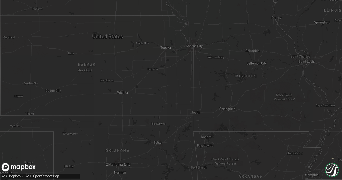
July 10 map
$229
one time, instant access
Download today. No call, no setup
Keep the $229
Bought the map and want the full workflow? Apply the entire $229 to a subscription within 7 days. None of it is wasted.
Every map, not just this one
This buys you this map. Subscription and you get every map we run, in the markets you choose from a few cities to whole states to nationwide. Plus real-time alerts the moment a storm fires.
Contact data
Name, contact info, occupancy, even credit band for addresses in the footprint. You go from where it hit to who to call.
Become the source they trust
Unlimited branding weather history reports on demand. You already have the documented answer ready for the property owner, and you are the one who showed up with it.
Property data and RoofTrace estimates
Pull up any address you have got, its value and the exact code rules for that jurisdiction, straight from One Click Code. Then RoofTrace estimates the squares, pitch, and roof value, priced the way you price.
Storm reports in Florida
Florida
| Date | Description |
|---|---|
| 07/10/20124:45 PM CDT | Baker county 911 dispatch reports a tree downed by strong wind gusts across the intersection of us highway 90 and cow pen road in the vicinity of sanderson. Time of inc |
| 07/10/20124:45 PM CDT | Baker county 911 dispatch reports a tree downed by strong wind gusts across turner cemetery road in the vicinity of sanderson. Time of incident based on radar imagery. |
| 07/10/20124:12 PM CDT | Law enforcement relayed a report of trees down on power lines near the intersection of spring lake highway and old spring lake road. |
| 07/10/20123:56 PM CDT | Trees down causing road closure on old pasco road in wesley chapel. Time is estimated from radar. |
| 07/10/20123:42 PM CDT | The public reported golf ball sized hail on sheldon road. |
| 07/10/20123:35 PM CDT | Trees reported down on county road 235 and nickel-size hail. Time of report estimated from radar. |
| 07/10/20123:25 PM CDT | Emergency management reported a tree down blocking state route 100 in andalusia. |
| 07/10/20123:15 PM CDT | Power poles snapped in half near the intersection of falkenburg road and highway 60 in brandon. |
| 07/10/20122:45 PM CDT | Powers lines down in keystone heights |
| 07/10/20122:15 PM CDT | A powerline was reported down on county road 315 near florahome. |
All States Impacted by Hail Map on July 10, 2012
Cities Impacted by Hail Map on July 10, 2012
- Madisonville, TN
- Salida, CO
- Kenansville, FL
- Buchanan, GA
- Tallapoosa, GA
- Cedartown, GA
- Newberry, SC
- Silverstreet, SC
- Pomaria, SC
- New Zion, SC
- Hesperus, CO
- Waxhaw, NC
- Brooksville, FL
- Lugoff, SC
- Columbia, SC
- Chester, MT
- Whitlash, MT
- Turbeville, SC
- Reevesville, SC
- Bowman, SC
- Saint George, SC
- Lawton, OK
- Wesley Chapel, FL
- Glen Saint Mary, FL
- Sanderson, FL
- Saint George, GA
- Currie, NC
- Walterboro, SC
- Yemassee, SC
- Homosassa, FL
- Mills, NE
- Gregory, SD
- Antonito, CO
- Lane, SC
- Salters, SC
- Cut Bank, MT
- Green Pond, SC
- Myrtle Beach, SC
- Pinellas Park, FL
- Saint Petersburg, FL
- Axson, GA
- Cache, OK
- Kinards, SC
- Joanna, SC
- Bunnell, FL
- Kingstree, SC
- Sweet Grass, MT
- Sunburst, MT
- Ruffin, SC
- Thermopolis, WY
- Shelby, MT
- Georgetown, SC
- Marietta, GA
- Gastonia, NC
- Hiram, GA
- Tampa, FL
- Clewiston, FL
- Gainesville, FL
- Monroe, NC
- Fort Stockton, TX
- Gainesville, GA
- Grantsboro, NC
- New Bern, NC
- Dallas, GA
- Bishopville, SC
- Fairfax, SC
- Allendale, SC
- Alamosa, CO
- Charlotte, NC
- Pineville, NC
- Matthews, NC
- Fort Mill, SC
- Whitewater, MT
- Hawthorne, FL
- Interlachen, FL
- Jenkinsville, SC
- Chapin, SC
- Little Mountain, SC
- Irmo, SC
- Andrews, SC
- Bristol, FL
- Whitmire, SC
- Atlanta, GA
- Dahlonega, GA
- Dawsonville, GA
- Murrayville, GA
- Dillon, SC
- Pierson, FL
- Saint Stephen, SC
- Jamestown, SC
- Bonneau, SC
- Waycross, GA
- Ridgeway, SC
- Winnsboro, SC
- Reliance, TN
- Old Fort, TN
- Seagrove, NC
- Robbins, NC
- Star, NC
- Dryden, TX
- Biscoe, NC
- Troy, NC
- Eagle Springs, NC
- New Port Richey, FL
- Odessa, FL
- Elgin, SC
- Decatur, GA
- Blackwell, TX
- Lutz, FL
- East Palatka, FL
- Brooker, FL
- Aberdeen, NC
- Riceville, TN
- Calhoun, TN
- Etowah, TN
- Athens, TN
- Charleston, TN
- Delano, TN
- Galata, MT
- Towaoc, CO
- Maryville, TN
- Polkton, NC
- Wadesboro, NC
- Bamberg, SC
- Comer, GA
- Danielsville, GA
- Aiken, SC
- Belmont, NC
- Harrison, TN
- Ooltewah, TN
- Magnolia, NC
- Rose Hill, NC
- Ellerbe, NC
- Marston, NC
- Pendleton, SC
- Florahome, FL
- Mableton, GA
- Oldsmar, FL
- Millwood, GA
- Marietta, SC
- Castle Hayne, NC
- Timmonsville, SC
- Abilene, TX
- Hastings, FL
- Dripping Springs, TX
- Johnson City, TX
- Round Mountain, TX
- Branchville, SC
- Beulaville, NC
- Barksdale, TX
- Mosca, CO
- Brownsville, TN
- Oriental, NC
- Arapahoe, NC
- Polson, MT
- Cassatt, SC
- Bethune, SC
- Sula, MT
- Elloree, SC
- Cameron, SC
- Lithonia, GA
- Stone Mountain, GA
- Scranton, SC
- Olanta, SC
- Quincy, FL
- Chattahoochee, FL
- Punta Gorda, FL
- Ocala, FL
- Ehrhardt, SC
- Venice, FL
- Santee, SC
- Pickens, SC
- Gunnison, CO
- Clayton, AL
- Alma, GA
- Nicholls, GA
- Dade City, FL
- San Antonio, FL
- Easley, SC
- Sunset, SC
- Lynchburg, SC
- Conway, SC
- Webster, FL
- Palmetto, FL
- Denmark, SC
- Olar, SC
- Gatlinburg, TN
- Cosby, TN
- Cape Coral, FL
- Pipe Creek, TX
- Bandera, TX
- Round O, SC
- Atoka, OK
- Lane, OK
- Hemingway, SC
- Medicine Bow, WY
- Anderson, SC
- Ledger, MT
- Riverview, FL
- Hubert, NC
- Havelock, NC
- Temple, GA
- Peachtree Corners, GA
- Smyrna, GA
- Lakemont, GA
- Tiger, GA
- Lexington, SC
- Clayton, GA
- Camden, SC
- Dalzell, SC
- Sumter, SC
- Rembert, SC
- Estero, FL
- Fort Myers, FL
- Wilmington, NC
- Candor, NC
- Duluth, GA
- Camp Wood, TX
- Loris, SC
- Lamar, SC
- Effingham, SC
- Lehigh Acres, FL
- Early Branch, SC
- Varnville, SC
- Macclenny, FL
- Blythewood, SC
- Girard, GA
- Clinton, SC
- Little Rock, SC
- Manning, SC
- Austell, GA
- McDonald, TN
- Cleveland, SC
- Blanding, UT
- Bremen, GA
- Union, SC
- Brevard, NC
- Rochelle, GA
- Abbeville, GA


