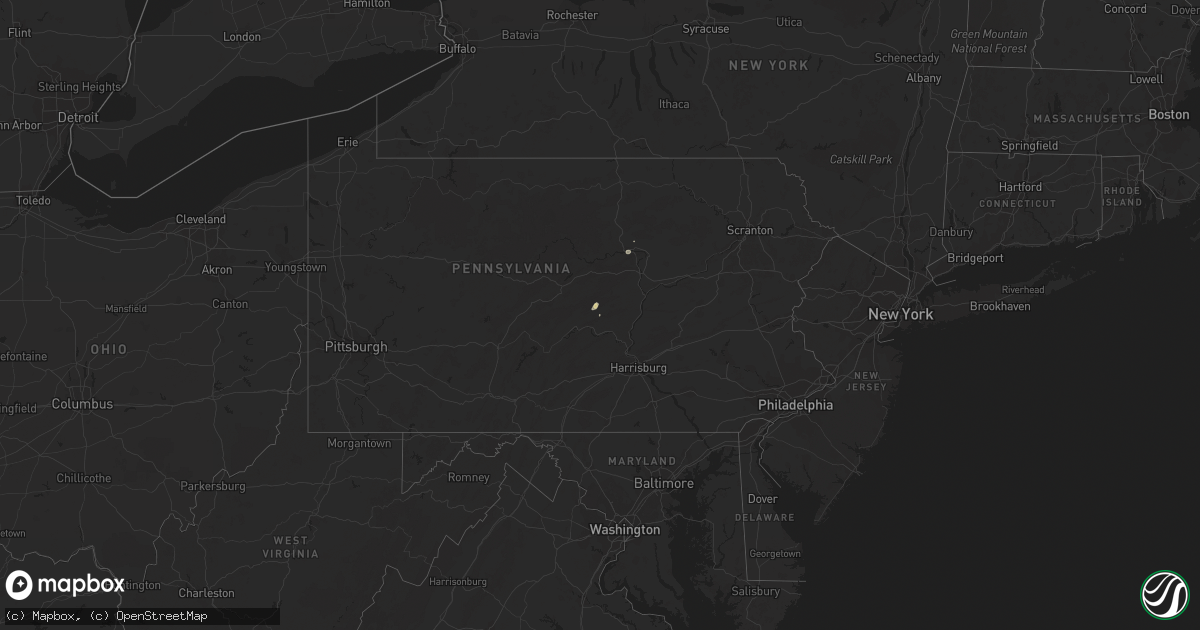
Hail Map in Pennsylvania on July 6, 2023
Get this storm
July 6 map
$229
one time, instant access
Download today. No call, no setup
Keep the $229
Bought the map and want the full workflow? Apply the entire $229 to a subscription within 7 days. None of it is wasted.
Every map, not just this one
This buys you this map. Subscription and you get every map we run, in the markets you choose from a few cities to whole states to nationwide. Plus real-time alerts the moment a storm fires.
Contact data
Name, contact info, occupancy, even credit band for addresses in the footprint. You go from where it hit to who to call.
Become the source they trust
Unlimited branding weather history reports on demand. You already have the documented answer ready for the property owner, and you are the one who showed up with it.
Property data and RoofTrace estimates
Pull up any address you have got, its value and the exact code rules for that jurisdiction, straight from One Click Code. Then RoofTrace estimates the squares, pitch, and roof value, priced the way you price.
Storm reports in Pennsylvania
Pennsylvania
| Date | Description |
|---|---|
| 07/06/20236:01 PM CDT | Large tree down along greensburg rd. Estimated time indicated by radar. |
| 07/06/20236:01 PM CDT | Trees reported down near drennen rd. Estimated time indicated by radar. |
| 07/06/20236:01 PM CDT | Large tree down on sardis rd. Time estimated based on radar. |
| 07/06/20235:50 PM CDT | Approx 30 to 40 trees down around mt eagle rd and on the bald eagle train tracks. Time estimated from radar. |
| 07/06/20235:20 PM CDT | Damaged awning... Punctured roof... And several trees down along garriston rd near the intersection with pa-382 in newberry township. |
| 07/06/20233:54 PM CDT | Roof blown off of a barn near intersection of west and maple roads in cussewago township. Time estimated via radar. |
| 07/06/20233:47 PM CDT | Several trees down in hayfield township. |
| 07/05/20238:10 PM CDT | A local report indicates 58 MPH wind near Williamsport Airport |
| 07/05/20238:00 PM CDT | Powerlines down causing outages for over 700 individuals. |
| 07/05/20237:25 PM CDT | Trees down. Structural damage to barn... Gates... And fencing. Report relayed via social media. |
| 07/05/20237:05 PM CDT | Trees down on powerlines. |
| 07/05/20237:00 PM CDT | Report of power line down along the 7600 block of franklin road. Time estimated based on radar. |
All States Impacted by Hail Map on July 6, 2023
Cities Impacted by Hail Map on July 6, 2023
- Johnson, KS
- Conchas Dam, NM
- Tucumcari, NM
- Sidney, NE
- Peetz, CO
- Sugar City, CO
- Ordway, CO
- Manzanola, CO
- Las Animas, CO
- La Junta, CO
- Cheraw, CO
- Rocky Ford, CO
- Swink, CO
- Olney Springs, CO
- Crowley, CO
- Chandler, OK
- Detroit, TX
- Rattan, OK
- Fort Morgan, CO
- Woodrow, CO
- Bokoshe, OK
- Shady Point, OK
- Stroud, OK
- Ringold, OK
- Gurdon, AR
- Broken Bow, OK
- Depew, OK
- Paden, OK
- Sparks, OK
- Summerville, GA
- Buffalo, WY
- Kaycee, WY
- Sheridan, WY
- Big Horn, WY
- Story, WY
- Corona, NM
- Vaughn, NM
- Rapid City, SD
- Clearmont, WY
- Clarksville, TN
- Ashland City, TN
- Eclectic, AL
- Sweetwater, TX
- Banner, WY
- Martinsdale, MT
- Calhoun, LA
- West Monroe, LA
- Casper, WY
- Ranger, TX
- Caddo, TX
- Breckenridge, TX
- Cisco, TX
- Hope, AR
- Sandy Hook, MS
- Malvern, AR
- Mineral Springs, AR
- Texarkana, TX
- Marshall, TX
- De Berry, TX
- Nashville, AR
- Idabel, OK
- Emmet, AR
- Crossett, AR
- Boulder, MT
- Parker, CO
- Lockesburg, AR
- De Queen, AR
- Honey Grove, TX
- Telephone, TX
- Gillette, WY
- Cedar Hill, TN
- Ida, LA
- Plain Dealing, LA
- Coushatta, LA
- Blossom, TX
- Aliceville, AL
- West Palm Beach, FL
- Bastrop, LA
- Hooks, TX
- Hamburg, AR
- Charlotte, TN
- Huntsville, TX
- Oakhurst, TX
- Rockledge, FL
- Cocoa, FL
- Douglas, WY
- Lander, WY
- Big Piney, WY
- Thatcher, ID
- Riverton, WY
- Boulder, WY
- Downey, ID
- Malad City, ID
- Montpelier, ID
- Holbrook, ID
- Preston, ID
- Shoshoni, WY
- Pinedale, WY
- Fruita, CO
- Glade Park, CO
- Shonto, AZ
- Loma, CO
- Monticello, UT
- Hanna, WY
- Craig, CO
- Rifle, CO
- Blanding, UT
- De Beque, CO
- Mexican Hat, UT
- Dixon, WY
- Flagstaff, AZ
- Saratoga, WY
- Monument Valley, UT
- Maybell, CO
- Meeker, CO
- Glenrock, WY
- Tuba City, AZ
- Kaibeto, AZ
- Rawlins, WY
- Savery, WY
- Dinosaur, CO
- Moab, UT
- Lake Powell, UT
- Hugo, CO
- Karval, CO
- Ramah, CO
- Haswell, CO
- Kit Carson, CO
- Lance Creek, WY
- Shawnee, WY
- Lusk, WY
- Lost Springs, WY
- Manville, WY
- Eads, CO
- Wiley, CO
- Rush, CO
- Limon, CO
- Arlington, CO
- Van Tassell, WY
- Torrington, WY
- Lamar, CO
- Holly, CO
- McClave, CO
- Granada, CO
- Hasty, CO
- Weskan, KS
- Sharon Springs, KS
- Harrison, NE
- Cheyenne Wells, CO
- Pine Ridge, SD
- Milroy, PA
- McClure, PA
- Rhame, ND
- Scooba, MS
- Crosby, MS
- Kyle, SD
- Gordo, AL
- Strasburg, CO
- Lumberton, MS
- Wiggins, MS
- Camp Crook, SD
- Ten Sleep, WY
- Cody, WY
- Alpine, AL
- Meeteetse, WY
- Talladega, AL
- Williamsport, PA
- Bennett, CO
- Tribune, KS
- Olla, LA
- Aimwell, LA
- Roggen, CO
- Onida, SD
- Cloudcroft, NM
- Lisman, AL
- Greensburg, LA
- Alzada, MT
- Newark, TX
- Ferriday, LA
- Vidalia, LA
- Lavina, MT
- Bridger, MT
- Sylacauga, AL
- Childersburg, AL
- Castor, LA
- Ashland, LA
- Tillar, AR
- Natchez, MS
- Sparta, GA
- Sandersville, GA
- Saline, LA
- Wesson, MS
- Tylertown, MS
- Elizabeth, CO
- Weogufka, AL
- Rockford, AL
- Goodwater, AL
- Union Center, SD
- Roundup, MT
- Arapahoe, CO
- Jachin, AL
- Perkinston, MS
- Hartselle, AL
- Macon, MS
- Milledgeville, GA
- Satanta, KS
- Kismet, KS
- Plains, KS
- Liberal, KS
- Meade, KS
- Forgan, OK
- Beaver, OK
- Ulysses, KS
- Moscow, KS
- Hugoton, KS
- Manter, KS
- Syracuse, KS
- Two Buttes, CO
- Walsh, CO
- Springfield, CO
- Lakin, KS
- Kendall, KS
- Marsland, NE
- Hemingford, NE
- Wallace, KS
- Brewster, KS
- Edson, KS
- Colby, KS
- Levant, KS
- Merriman, NE
- Whitman, NE
- Ashby, NE
- Cody, NE
- Valentine, NE
- Thedford, NE
- Seneca, NE
- Mullen, NE
- Johnstown, NE
- Purdum, NE
- Halsey, NE
- Stapleton, NE
- Hyannis, NE
- Laverne, OK
- Gate, OK
- Follett, TX
- Darrouzett, TX
- Balko, OK
- Tyrone, OK
- Rolla, KS
- Richfield, KS
- Hooker, OK
- Turpin, OK
- May, OK
- Booker, TX
- Shattuck, OK
- Fargo, OK
- Elkhart, KS
- Arnett, OK
- Perryton, TX
- Buffalo, OK
- Woodward, OK
- Fort Supply, OK
- Higgins, TX
- Lipscomb, TX
- Sharon, OK
- Gage, OK
- Mooreland, OK
- Chester, OK
- Vici, OK
- Fairview, OK
- Mutual, OK
- Clinton, OK
- Putnam, OK
- Taloga, OK
- Crawford, OK
- Custer City, OK
- Seiling, OK
- Camargo, OK
- Hammon, OK
- Butler, OK
- Leedey, OK
- Cheyenne, OK
- Miami, TX
- Canadian, TX
- Durham, OK
- Oakwood, OK
- Canton, OK
- Thomas, OK
- Watonga, OK
- Fay, OK
- Ellsworth, NE
- Ozan, AR
- Pierre, SD
- Goodland, KS
- Jay Em, WY
- Montoursville, PA
- El Dorado, AR
- Sheridan Lake, CO
- Sublette, KS
- Stromsburg, NE
- Polk, NE
- Woodville, MS
- Success, AR
- Winona, KS
- Ashdown, AR
- Glendo, WY
- Wilmot, AR
- Crumrod, AR
- Butler, AL
- Morrill, NE
- Camden, AR
- Winchester, AR
- Fulton, AR
- Washington, AR
- Rosston, AR
- Stephens, AR
- Harrisonburg, LA
- Hordville, NE
- Central City, NE
- Clarks, NE
- Hay Springs, NE
- Stratton, CO
- Monticello, AR
- Prescott, AR
- Alliance, NE
- Wilton, AR
- Montrose, AR
- Quinter, KS
- Park, KS
- Hampton, AR
- Ogden, AR
- Texarkana, AR
- Poplarville, MS
- Blevins, AR
- Naylor, MO
- Longdale, OK
- Arapaho, OK
- Foss, OK
- Weatherford, OK
- Geary, OK
- Corn, OK
- Lakeview, TX
- Memphis, TX
- Canute, OK
- Hollis, OK
- Willow, OK
- Sayre, OK
- Carter, OK
- Wellington, TX
- Dill City, OK
- Greenfield, OK
- Minatare, NE
- Guymon, OK
- Monument, KS
- Mitchell, NE
- Englewood, KS
- North Platte, NE
- Tryon, NE
- Monroe, NE
- Bayard, NE
- Rosston, OK
- Oakley, KS
- Fouke, AR
- Haworth, OK
- Ord, NE
- Elk City, OK
- Gresham, NE
- Maxwell, NE
- Reydon, OK
- Cordell, OK


