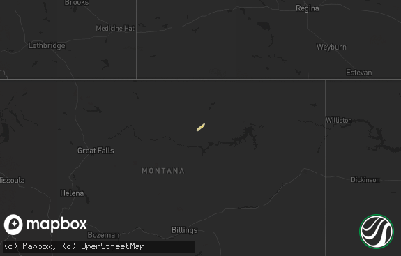
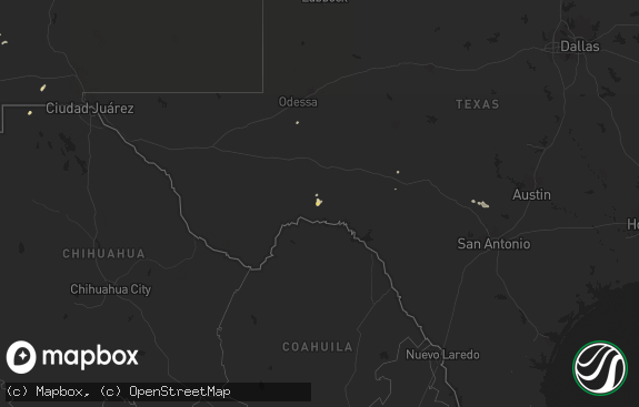
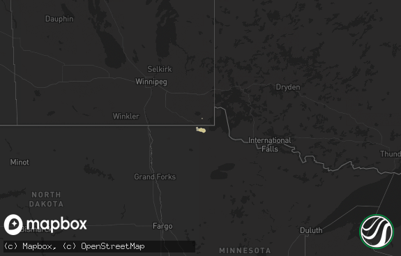
Hail Map in Montana on July 5, 2013
The weather event in Montana on July 5, 2013 includes Hail map. 19 states and 182 cities were impacted and suffered possible damage. The total estimated number of properties impacted is 0.

Hail
0
Estimated number of impacted properties by a 1.00" hail or larger0
Estimated number of impacted properties by a 1.75" hail or larger0
Estimated number of impacted properties by a 2.50" hail or largerStorm reports in Montana
Montana
| Date | Description |
|---|---|
| 07/05/20131:45 PM CDT | Pea and quarter sized hail with 35 to 45 mph wind gust and heavy rain. |
| 07/05/20131:45 PM CDT | A local report indicates 1.50 inch wind near FLOWING WELLS REST AREA |
| 07/05/20133:00 AM CDT | 72 mph wind gust measured at mud lake. |
| 07/05/20132:31 AM CDT | No hail but heavy rain with tstorm wind gust. 0.44 inches in one half hour. |
| 07/05/20132:09 AM CDT | A local report indicates 58 MPH wind near 13 N CHESTER |
| 07/05/20131:35 AM CDT | A local report indicates 58 MPH wind near RUDYARD |
| 07/05/20131:32 AM CDT | 64 mph wind gust measured near goldbutte. |
| 07/05/20131:00 AM CDT | 67 mph wind gust near crooked coulee |
| 07/04/201311:47 PM CDT | 62 mph wind gust measured at cut bank asos |
| 07/04/201311:15 PM CDT | A local report indicates 67 MPH wind near 2 E SUN PRAIRIE |
| 07/04/20139:15 PM CDT | A local report indicates 1.00 inch wind near 12 WSW CUT BANK |
All States Impacted by Hail Map on July 5, 2013
Cities Impacted by Hail Map on July 5, 2013
- Turner, MT
- Loring, MT
- Richey, MT
- Soperton, GA
- Tarrytown, GA
- Arlington, VT
- Argyle, NY
- Greenwich, NY
- Vichy, MO
- Bloomfield, MT
- Vienna, MO
- Tunica, MS
- Sarah, MS
- Coldwater, MS
- Downey, ID
- Rolla, MO
- Tucson, AZ
- Berthold, ND
- Plaza, ND
- Midwest, WY
- Spring Creek, NV
- Great Falls, MT
- Black Eagle, MT
- Holly Grove, AR
- Marvell, AR
- Bennington, VT
- Durhamville, NY
- Brandon, VT
- Bridport, VT
- Shoreham, VT
- Whiting, VT
- Middlebury, VT
- Salisbury, VT
- Schuylerville, NY
- Gansevoort, NY
- Fort Edward, NY
- Sawyer, ND
- Valier, MT
- Savage, MT
- Casper, WY
- Alcova, WY
- Ten Sleep, WY
- Fort Benton, MT
- Highwood, MT
- Thermopolis, WY
- Worland, WY
- Kirby, WY
- Frazer, MT
- Ray, ND
- Edgerton, WY
- Kaycee, WY
- Meeteetse, WY
- Velva, ND
- Glenrock, WY
- Wheatland, WY
- Alamo, ND
- Zahl, ND
- Powers Lake, ND
- Mcgregor, ND
- Chittenango, NY
- Kirkville, NY
- Canastota, NY
- Manderson, WY
- Dugway, UT
- Cuba, MO
- Saint James, MO
- Stockton, UT
- Hays, MT
- Shushan, NY
- Cambridge, NY
- McRae Helena, GA
- Milan, GA
- Sullivan, MO
- Hogeland, MT
- Olive Branch, MS
- Byhalia, MS
- Benson, AZ
- Wolf Point, MT
- Vernon, NY
- Oneida, NY
- Verona, NY
- Rome, NY
- Karthaus, PA
- Moshannon, PA
- Montello, NV
- Mount Lemmon, AZ
- Clyde, NY
- Norman Park, GA
- Palermo, ND
- McNeal, AZ
- Moultrie, GA
- Yoder, WY
- Quitman, GA
- Fairview, MT
- Brockton, MT
- Circle, MT
- Sonoita, AZ
- Vail, AZ
- Walnut Ridge, AR
- Minot, ND
- Lambert, MT
- Cut Bank, MT
- Vaughn, MT
- Sun River, MT
- Shaftsbury, VT
- Sidney, MT
- Malta, ID
- Williams, AZ
- Moorcroft, WY
- Wells, NV
- Wibaux, MT
- Elgin, AZ
- Patagonia, AZ
- Cohagen, MT
- Brockway, MT
- Columbus, ND
- Memphis, TN
- Bainville, MT
- Williston, ND
- Collierville, TN
- Dry Branch, GA
- Trumann, AR
- Harrisburg, AR
- Cherry Valley, AR
- Green Valley, AZ
- Amado, AZ
- Lindsay, MT
- Almo, ID
- Crosby, ND
- Wildrose, ND
- Broxton, GA
- Sycamore, GA
- Waterloo, NY
- Phelps, NY
- Vernon, UT
- Supai, AZ
- Alzada, MT
- Bono, AR
- Fort Shaw, MT
- Bland, MO
- Malad City, ID
- Cochran, GA
- Stanley, ND
- Grand View, ID
- Medicine Lake, MT
- Dagmar, MT
- Douglas, GA
- Wendover, UT
- Hawkinsville, GA
- Tioga, ND
- La Jara, CO
- Saint David, AZ
- Two Dot, MT
- Ross, ND
- Nashville, GA
- Froid, MT
- Oakley, ID
- Meta, MO
- Drifting, PA
- Snow Shoe, PA
- Philipsburg, PA
- Grassflat, PA
- Clarence, PA
- Pottersdale, PA
- Morrisdale, PA
- Bloomfield, MO
- Senatobia, MS
- Ojo Caliente, NM
- Lonedell, MO
- Belle, MO
- Monroe, GA
- Summersville, WV
- Bisbee, AZ
- Lake City, FL
- Soda Springs, ID
- Bancroft, ID
- Bigfork, MT
- Power, MT
- Salem, NY
- Seneca Falls, NY
- Saint Clair, MO
- Epping, ND


