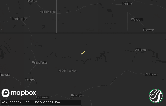
Hail Map in Montana on July 4, 2013
The weather event in Montana on July 4, 2013 includes Hail map. 24 states and 159 cities were impacted and suffered possible damage. The total estimated number of properties impacted is 0.

Hail
0
Estimated number of impacted properties by a 1.00" hail or larger0
Estimated number of impacted properties by a 1.75" hail or larger0
Estimated number of impacted properties by a 2.50" hail or largerStorm reports in Montana
Montana
| Date | Description |
|---|---|
| 07/04/20135:40 PM CDT | A local report indicates 1.00 inch wind near 18 N POMPEYS PILLAR |
| 07/04/20134:50 PM CDT | Thunderstorm wind gusts brought down large tree branches. |
| 07/04/20134:40 PM CDT | Significant crop damage from hail. Largest hailstones estimated to be 3.00 inches in diameter...which is slightly larger than baseball size. Hail drifts were still 4 in |
| 07/04/20134:35 PM CDT | A local report indicates 1.00 inch wind near 11 NNE ROUNDUP |
| 07/04/20134:00 PM CDT | Mostly pea sized hail with some quarter and half dollar sized. Brief heavy rain. |
| 07/04/20133:55 PM CDT | Ping pong size hail falling on highway 191 near mile marker 29. |
| 07/04/20134:01 AM CDT | A local report indicates 1.00 inch wind near HAVRE |
| 07/03/20138:00 PM CDT | Hillsboro raws...time estimated from radar at about 7pm. |
| 07/03/20137:05 PM CDT | Up to 6 inch diameter tree limbs downed on county road. |
All States Impacted by Hail Map on July 4, 2013
Cities Impacted by Hail Map on July 4, 2013
- Roach, MO
- Camdenton, MO
- Fairfield, TX
- Bearcreek, MT
- Red Lodge, MT
- Winnett, MT
- Quinton, OK
- Havre, MT
- Big Sandy, MT
- Grand View, ID
- Hogeland, MT
- Turner, MT
- Belvidere, SD
- Kadoka, SD
- Roundup, MT
- Stringtown, OK
- Alba, TX
- Midland, SD
- Tulsa, OK
- Albuquerque, NM
- Charleston, WV
- Seth, WV
- Foster, WV
- Peytona, WV
- Silver Springs, NV
- Wadsworth, NV
- Fernley, NV
- Sparks, NV
- Chinook, MT
- Elkview, WV
- Beulah, WY
- Lead, SD
- Spearfish, SD
- Jordan Valley, OR
- Brusett, MT
- Clayton, OK
- Heber, AZ
- Overgaard, AZ
- Kaycee, WY
- Lovell, WY
- Roberts, MT
- Kremlin, MT
- Gerlach, NV
- Grass Range, MT
- Clarksburg, PA
- Wall, SD
- McLaughlin, SD
- Jordan, MT
- Harlem, MT
- Springfield, MO
- Aladdin, WY
- Sundance, WY
- Winnemucca, NV
- Midway, TX
- Crystal River, FL
- Denio, NV
- Orlando, FL
- Apopka, FL
- Ocoee, FL
- Derry, PA
- Edgar, MT
- Joliet, MT
- Fromberg, MT
- Masontown, WV
- Roy, MT
- Hilger, MT
- Bunceton, MO
- Quinn, SD
- Winifred, MT
- Homosassa, FL
- Brooksville, FL
- Yerington, NV
- Lewistown, MT
- Musselshell, MT
- Coeburn, VA
- Dodson, MT
- Blanco, OK
- Golconda, NV
- Silver City, NM
- Hanover, NM
- Spring Hill, FL
- Fallon, NV
- Winifrede, WV
- Cabin Creek, WV
- Belle, WV
- Tremonton, UT
- Stanton, ND
- Underwood, ND
- Boonville, MO
- Pilot Grove, MO
- Blackwater, MO
- Lodge Grass, MT
- Turner, ME
- Hebron, ME
- Buckfield, ME
- Trail City, SD
- Ashford, WV
- Costa, WV
- South Charleston, WV
- Nellis, WV
- Alum Creek, WV
- Ridgeview, WV
- Magdalena, NM
- Rogersville, MO
- Gillette, WY
- Bushnell, FL
- Sumterville, FL
- Lake Panasoffkee, FL
- New Franklin, MO
- Downey, ID
- Empire, NV
- Clearmont, WY
- Buffalo, WY
- Ree Heights, SD
- Bullhead, SD
- Morgantown, WV
- Reedsville, WV
- Independence, WV
- Garland, UT
- Broken Arrow, OK
- Summerfield, FL
- Belleview, FL
- Oxford, FL
- San Simon, AZ
- Willcox, AZ
- Hays, MT
- Silas, AL
- Nixa, MO
- Buffalo, TX
- Worden, MT
- Reno, NV
- Clifton, AZ
- Walton, WV
- Paris, ME
- South Paris, ME
- Forest Grove, MT
- Orovada, NV
- Acme, PA
- Daisy, OK
- Greenville, SC
- Taylors, SC
- Greer, SC
- Travelers Rest, SC
- Campton, KY
- Gotha, FL
- Windermere, FL
- Highmore, SD
- Miller, SD
- Sorrento, FL
- Pittsburg, OK
- Mount Dora, FL
- Zellwood, FL
- Emporia, KS
- Wooldridge, MO
- Selfridge, ND
- Markleeville, CA
- Valentine, NE
- Abbeville, SC
- Wellington, NV


