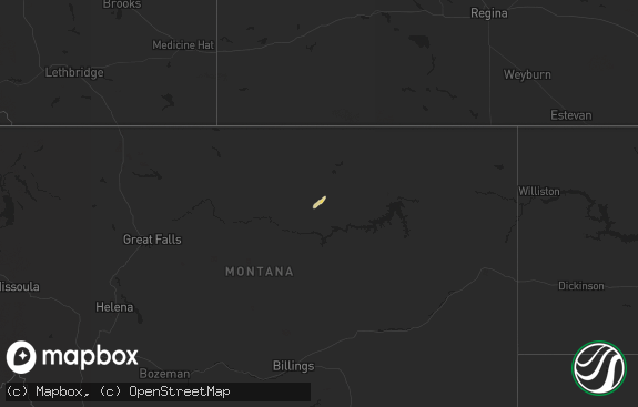
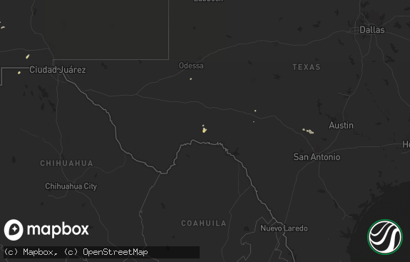
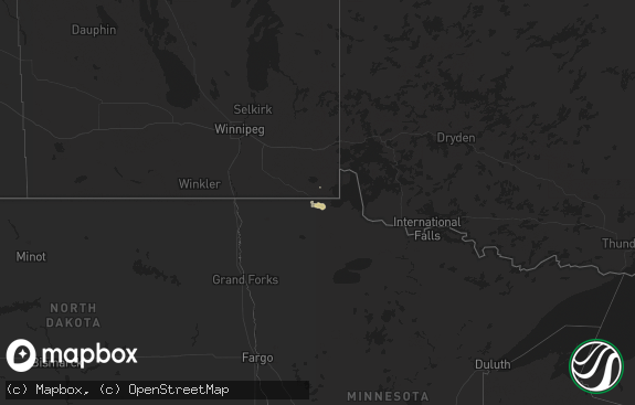
Hail Map in Montana on June 26, 2017
The weather event in Montana on June 26, 2017 includes Hail map. 14 states and 233 cities were impacted and suffered possible damage. The total estimated number of properties impacted is 0.

Hail
0
Estimated number of impacted properties by a 1.00" hail or larger0
Estimated number of impacted properties by a 1.75" hail or larger0
Estimated number of impacted properties by a 2.50" hail or largerStorm reports in Montana
Montana
| Date | Description |
|---|---|
| 06/25/201711:40 PM CDT | Raynolds pass dot measures 66 mph wind gust. |
| 06/25/201710:46 PM CDT | King coulee raws site measured a 64 mph wind gust. Gust appears to have been at the leading edge of an approaching gust front. Time estimated by radar. |
| 06/25/201710:46 PM CDT | Several trees were reported down in the troy area. One was blocking kalispell street. |
| 06/25/20178:20 PM CDT | 58 mph wind gust at fort belknap raws. Time of event is estimated. |
All States Impacted by Hail Map on June 26, 2017
Cities Impacted by Hail Map on June 26, 2017
- Oberlin, KS
- Helena, OK
- Leoti, KS
- Windom, KS
- Mcpherson, KS
- Inman, KS
- Wray, CO
- El Dorado, KS
- Potwin, KS
- Avondale, CO
- Campo, CO
- Kenton, OK
- Arkansas City, KS
- Udall, KS
- Rock, KS
- Winfield, KS
- Newkirk, OK
- Hoxie, KS
- Grenville, NM
- Edgewood, NM
- Stanley, NM
- Clayton, NM
- Yates Center, KS
- Cambridge, NE
- Lenora, KS
- Eustis, NE
- Arapahoe, NE
- Hill City, KS
- Hendley, NE
- Norton, KS
- Holbrook, NE
- Beaver City, NE
- Seibert, CO
- Flagler, CO
- Tampa, KS
- Gypsum, KS
- Durham, KS
- Ribera, NM
- Pecos, NM
- Glorieta, NM
- Tererro, NM
- Santa Fe, NM
- Lamy, NM
- Grinnell, KS
- Walsh, CO
- Waldron, KS
- Delphos, KS
- Miltonvale, KS
- Aurora, KS
- Scott City, KS
- Fossil, OR
- Spray, OR
- Whitewater, KS
- Newton, KS
- Valley Center, KS
- Walton, KS
- Peabody, KS
- Benton, KS
- Hillsboro, KS
- Keno, OR
- Rose Hill, KS
- Augusta, KS
- Andover, KS
- Towanda, KS
- Douglass, KS
- Herndon, KS
- Monument, KS
- Carrizozo, NM
- Colorado Springs, CO
- Oakley, KS
- Gem, KS
- Colby, KS
- Florissant, CO
- Maupin, OR
- Warm Springs, OR
- Newport, WA
- Rush, CO
- Kit Carson, CO
- Benton City, WA
- Prosser, WA
- Winona, KS
- Boise City, OK
- Folsom, NM
- Pomeroy, WA
- Corona, NM
- Wichita, KS
- Anthony, KS
- Boone, CO
- Olney Springs, CO
- Ordway, CO
- Artesia, NM
- Salina, KS
- New Cambria, KS
- Assaria, KS
- Eads, CO
- Burns, OR
- Mount Vernon, OR
- John Day, OR
- Vale, OR
- Carlsbad, NM
- Cloudcroft, NM
- Kennewick, WA
- Richland, WA
- Hesston, KS
- Halstead, KS
- Brady, MT
- Loma, MT
- Shaniko, OR
- Antelope, OR
- La Grande, OR
- Deerfield, KS
- El Paso, TX
- Magdalena, NM
- Laguna, NM
- Casa Blanca, NM
- Lahoma, OK
- Meno, OK
- Stratton, NE
- Vaughn, NM
- Atwood, KS
- Cuba, NM
- Moriarty, NM
- Mitchell, OR
- Selden, KS
- Pilot Rock, OR
- Tijeras, NM
- Fort Benton, MT
- Jacksonville, FL
- Cimarron, NM
- Pueblo, CO
- Minneapolis, KS
- Woodland Park, CO
- Madras, OR
- Lehigh, KS
- Bennington, KS
- Abilene, KS
- Farnam, NE
- Moorefield, NE
- Cascade, CO
- Manitou Springs, CO
- Moscow, KS
- Chattaroy, WA
- Deer Park, WA
- Willard, NM
- Estancia, NM
- Divide, CO
- Idalia, CO
- Carrier, OK
- Attica, NY
- Dale, NY
- Warsaw, NY
- Glasco, KS
- Sandia Park, NM
- Spartansburg, PA
- Spring Creek, PA
- Caldwell, KS
- Bluff City, KS
- Cochranton, PA
- Atlantic, PA
- Pasco, WA
- Prineville, OR
- Huntington, OR
- Ponte Vedra, FL
- Colony, KS
- La Harpe, KS
- Moran, KS
- Kincaid, KS
- Culbertson, NE
- Lake Arthur, NM
- Edgar, NE
- Fairfield, NE
- Deweese, NE
- Kissimmee, FL
- Orlando, FL
- Dalhart, TX
- Goltry, OK
- Nash, OK
- Wakita, OK
- Burlington, OK
- Cherokee, OK
- Jet, OK
- Enid, OK
- New Smyrna Beach, FL
- Post, OR
- Fowler, CO
- Priest River, ID
- Canyon City, OR
- Seneca, OR
- Hope, KS
- Canton, KS
- Marion, KS
- Solomon, KS
- Beloit, KS
- Amorita, OK
- Nelson, NE
- Saint Johns, FL
- Spokane, WA
- Nine Mile Falls, WA
- Viola, KS
- Clearwater, KS
- Goddard, KS
- Dorris, CA
- Mesa, WA
- Eltopia, WA
- Truth Or Consequences, NM
- Monticello, NM
- Holyoke, CO
- Freedom, OK
- Fort Hancock, TX
- Buckhorn, NM
- Yoder, CO
- Cripple Creek, CO
- Paulina, OR
- Princeton, OR
- Canon City, CO
- Rexford, KS
- Oldtown, ID
- Palisade, NE
- Burbank, WA
- Sterling, NY
- Lewistown, MT
- Eagle Nest, NM
- Hannibal, NY
- Monument, OR
- Saint Augustine, FL
- Elbing, KS
- Condon, OR
- Fort Scott, KS
- Lakin, KS
- Bogue, KS
- Ponca City, OK
- Holcomb, KS
- Penrose, CO


