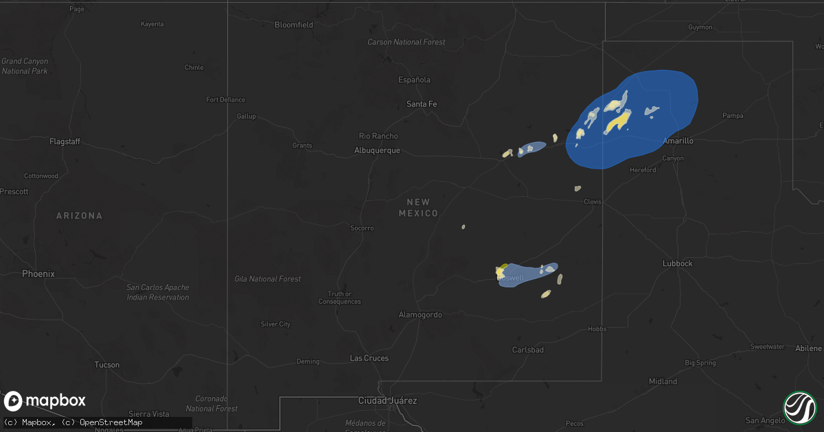
Hail Map in New Mexico on June 22, 2025
Get this storm
June 22 map
$229
one time, instant access
Download today. No call, no setup
Keep the $229
Bought the map and want the full workflow? Apply the entire $229 to a subscription within 7 days. None of it is wasted.
Every map, not just this one
This buys you this map. Subscription and you get every map we run, in the markets you choose from a few cities to whole states to nationwide. Plus real-time alerts the moment a storm fires.
Contact data
Name, contact info, occupancy, even credit band for addresses in the footprint. You go from where it hit to who to call.
Become the source they trust
Unlimited branding weather history reports on demand. You already have the documented answer ready for the property owner, and you are the one who showed up with it.
Property data and RoofTrace estimates
Pull up any address you have got, its value and the exact code rules for that jurisdiction, straight from One Click Code. Then RoofTrace estimates the squares, pitch, and roof value, priced the way you price.
Storm reports in New Mexico
New Mexico
| Date | Description |
|---|---|
| 06/22/20256:53 PM CDT | Mesonet station 107 endee 2 sw. |
| 06/22/20256:42 PM CDT | A local report indicates 60 MPH wind near 1 S San Jon |
| 06/22/20256:36 PM CDT | A local report indicates 60 MPH wind near 7 W Nara Visa |
| 06/22/20256:32 PM CDT | Utility poles blown down with arcing powerlines and electric service disrupted for residents. |
| 06/22/20256:08 PM CDT | Lasted until 520 pm or so. |
| 06/22/20255:58 PM CDT | Utility poles blown down with arcing powerlines and electric service disrupted for residents. |
| 06/22/20255:25 PM CDT | Lots of dust kicked up. |
| 06/22/20254:55 PM CDT | Mesonet station newn5 newkirk. |
| 06/22/20254:39 PM CDT | Apache hills. |
| 06/22/20254:39 PM CDT | Cotton road. |
| 06/21/20258:40 PM CDT | Mesonet station tr724 roswell no. 1 portable. |
| 06/21/20258:40 PM CDT | Mesonet station tr724 rosw |
| 06/21/20257:17 PM CDT | Asos station krow roswell air center. |
All States Impacted by Hail Map on June 22, 2025
Cities Impacted by Hail Map on June 22, 2025
- Wilmot, SD
- Woodworth, ND
- Cooperstown, ND
- Bison, SD
- Finley, ND
- Sykeston, ND
- Beardsley, MN
- Peever, SD
- Carrington, ND
- Lodgepole, SD
- Graceville, MN
- Dumont, MN
- Browns Valley, MN
- Hannaford, ND
- Wheaton, MN
- Kensal, ND
- Nashua, MN
- Susquehanna, PA
- Thompson, PA
- Union Dale, PA
- Glenfield, ND
- Sharon, ND
- Lemmon, SD
- Mchenry, ND
- Elbow Lake, MN
- Grace City, ND
- Fergus Falls, MN
- Wendell, MN
- Campbell, MN
- Lakota, ND
- Aneta, ND
- Binford, ND
- Sutton, ND
- Vestal, NY
- Binghamton, NY
- Brackney, PA
- Brocket, ND
- Lawton, ND
- Northwood, ND
- Friendsville, PA
- Hettinger, ND
- Adams, ND
- Jessie, ND
- Selfridge, ND
- New Leipzig, ND
- Fairdale, ND
- Elgin, ND
- Montrose, PA
- Minto, ND
- Brundidge, AL
- Center, ND
- Towner, ND
- Washburn, ND
- Wilton, ND
- Karlsruhe, ND
- Wolford, ND
- Bisbee, ND
- Rugby, ND
- Corona, NM
- York, ND
- Columbia, AL
- Headland, AL
- Chancellor, AL
- Anamoose, ND
- Drake, ND
- Enterprise, AL
- Coffee Springs, AL
- Denhoff, ND
- Mcclusky, ND
- Ebro, FL
- Rocklake, ND
- Carriere, MS
- Newville, AL
- Calvin, ND
- Hannah, ND
- Munich, ND
- Midland City, AL
- College Station, TX
- Leeds, ND
- Maddock, ND
- Langdon, ND
- Santa Rosa, NM
- Dothan, AL
- Poplarville, MS
- Wewahitchka, FL
- Egeland, ND
- Wales, ND
- Oberon, ND
- Roswell, NM
- Cheyenne, WY
- Meriden, WY
- Purdum, NE
- Munford, AL
- Franklinton, LA
- Yoder, WY
- Hawk Springs, WY
- Lyman, NE
- Torrington, WY
- Stapleton, NE
- Dunning, NE
- Rotonda West, FL
- Bristol, FL
- Athens, AL
- Toney, AL
- Albin, WY
- Harvest, AL
- Arnold, NE
- Mitchell, NE
- Morrill, NE
- Harrisburg, NE
- Pine Bluffs, WY
- Cuervo, NM
- Newkirk, NM
- Devils Lake, ND
- Huntsville, AL
- Brewster, NE
- Gering, NE
- Logan, NM
- Tucumcari, NM
- Tallahassee, FL
- Taylor, NE
- Ainsworth, NE
- Conchas Dam, NM
- Bassett, NE
- Burwell, NE
- Bayard, NE
- Semmes, AL
- Mobile, AL
- Nara Visa, NM
- Bridgeport, NE
- Minatare, NE
- Mosquero, NM
- Eight Mile, AL
- Mcgrew, NE
- Angora, NE
- Broadwater, NE
- Atkinson, NE
- Stuart, NE
- San Jon, NM
- Chunchula, AL
- Channing, TX
- Amelia, NE
- Lisco, NE
- Adrian, TX
- Melrose, NM
- Clovis, NM
- Emmet, NE
- Chambers, NE
- Oneill, NE
- Inman, NE
- Springview, NE
- Grygla, MN
- Ellsworth, NE
- Oshkosh, NE
- Gatzke, MN
- Lakeside, NE
- Vega, TX
- Broadview, NM
- Bard, NM
- Hereford, TX
- Hartley, TX
- Dalhart, TX
- Winner, SD
- Bingham, NE
- Verdigre, NE
- Page, NE
- Anselmo, NE
- Colome, SD
- Dallas, SD
- Niobrara, NE
- Lynch, NE
- Ewing, NE
- Burke, SD
- Springfield, SD
- Dumas, TX
- Wildorado, TX
- Masterson, TX
- Amarillo, TX
- Stratford, TX
- Cactus, TX
- Sunray, TX
- Platte, SD
- Tabor, SD
- Kimball, SD
- Tatum, NM
- Valentine, NE
- Goodwell, OK
- Stinnett, TX
- Borger, TX
- Fritch, TX
- Panhandle, TX
- Spearman, TX
- Gruver, TX
- Morse, TX
- Canyon, TX
- Wagner, SD
- Scottsbluff, NE
- White Lake, SD
- Wood Lake, NE
- Avon, SD
- Bushnell, NE
- Loman, MN
- Tyndall, SD
- Scotland, SD
- Briggsdale, CO
- Grover, CO
- Johnstown, NE
- Lesterville, SD
- Roggen, CO
- Kersey, CO
- Kimball, NE
- Dexter, NM
- Orchard, CO
- Gregory, SD
- Long Pine, NE
- Brady, NE
- Weldona, CO
- Maxwell, NE
- Fort Morgan, CO
- Dix, NE
- Newport, NE
- Kabetogama, MN
- Clinton, MN
- Watertown, SD
- Ortonville, MN
- International Falls, MN
- Ranier, MN
- Goodwin, SD
- Jasper, MN
- Garretson, SD
- Labolt, SD
- Revillo, SD
- Milbank, SD
- Hardwick, MN
- Big Stone City, SD
- Bellingham, MN
- Odessa, MN
- Edgerton, MN
- Ord, NE
- Ericson, NE
- Elyria, NE
- Chandler, MN
- Montevideo, MN
- Benson, MN
- Cyrus, MN
- Starbuck, MN
- Watson, MN
- Clarissa, MN
- Bartlett, NE
- Staples, MN
- Browerville, MN
- Motley, MN
- Pillager, MN
- Milan, MN
- Nisswa, MN
- Brainerd, MN
- Pequot Lakes, MN
- North Loup, NE
- Pierz, MN
- Fort Ripley, MN
- Merrifield, MN
- Baxter, MN
- Crosby, MN
- Aitkin, MN
- Ironton, MN
- Deerwood, MN
- Crosslake, MN
- Onamia, MN
- Hillman, MN
- Palisade, MN
- Emily, MN
- Mcgregor, MN
- Isle, MN
- McGrath, MN
- Cromwell, MN
- Tamarack, MN
- Kettle River, MN
- Wright, MN
- Brookston, MN
- Floodwood, MN
- Sawyer, MN
- Jacobson, MN
- Meadowlands, MN
- Barnum, MN
- Cloquet, MN
- Alborn, MN
- Saginaw, MN
- Canyon, MN
- Carlton, MN
- Cotton, MN
- Forbes, MN
- Duluth, MN
- Two Harbors, MN
- Silver Bay, MN
- Donalsonville, GA
- Alvarado, MN
- Oslo, MN
- Argyle, MN
- Stephen, MN
- Grafton, ND
- Drayton, ND
- Warren, MN
- Donaldson, MN
- Kennedy, MN
- Karlstad, MN
- Halma, MN
- Grady, NM
- Boise City, OK
- Keyes, OK
- Texhoma, OK


