Hail Map in South Carolina on June 14, 2026
Get this storm
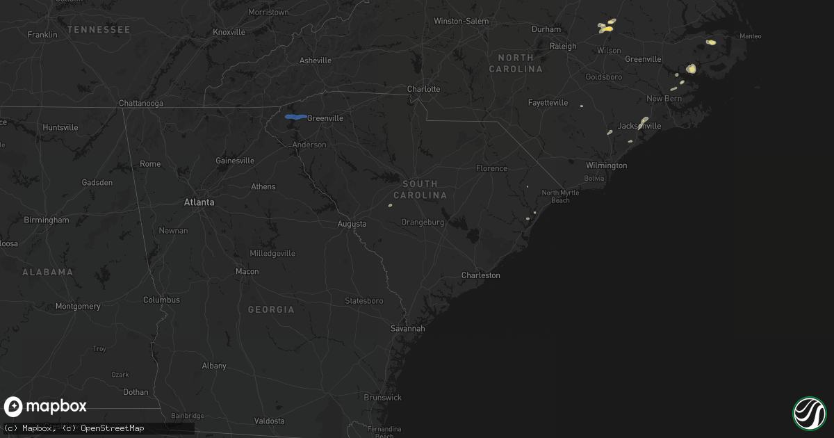
June 14 map
$229
one time, instant access
Download today. No call, no setup
Keep the $229
Bought the map and want the full workflow? Apply the entire $229 to a subscription within 7 days. None of it is wasted.
Every map, not just this one
This buys you this map. Subscription and you get every map we run, in the markets you choose from a few cities to whole states to nationwide. Plus real-time alerts the moment a storm fires.
Contact data
Name, contact info, occupancy, even credit band for addresses in the footprint. You go from where it hit to who to call.
Become the source they trust
Unlimited branding weather history reports on demand. You already have the documented answer ready for the property owner, and you are the one who showed up with it.
Property data and RoofTrace estimates
Pull up any address you have got, its value and the exact code rules for that jurisdiction, straight from One Click Code. Then RoofTrace estimates the squares, pitch, and roof value, priced the way you price.
Storm reports in South Carolina
South Carolina
| Date | Description |
|---|---|
| 06/14/20265:52 PM CDT | 911 dispatch reported tree down on roadway at main st and plantation hwy. Time estimated by radar. |
| 06/14/20265:25 PM CDT | Berkeley county emergency management reported a tree down near hw-45 and russellville road. The tree was likely down due to thunderstorm outflow. |
| 06/14/20265:20 PM CDT | Colleton county emergency management reported a tree down near the intersection of oregon road and pynes community road. |
| 06/14/20264:47 PM CDT | Berkeley county emergency management reported a tree down on hw-311 near cokerhart lane. |
| 06/14/20264:47 PM CDT | Lexington county em reports power line down near 269 fiddlers ln. Time estimated by radar. |
| 06/14/20264:43 PM CDT | Public submitted report of 4 large pine trees uprooted and additional trees broken near the intersection of hwy 6 and blackville rd. Time estimated by radar. |
| 06/14/20264:42 PM CDT | Lexington county em reports tree down near 534 sharon church rd. Time estimated by radar. |
| 06/14/20264:34 PM CDT | Lexington county em reports tree down near the intersection of tindal rd and cedar creek rd. Time estimated by radar. |
| 06/14/20264:27 PM CDT | Trees on roadway at salley road |
| 06/14/20264:21 PM CDT | Berkeley county emergency management reported a tree down on hw-41 near charity church road. |
| 06/14/20264:20 PM CDT | Colleton county emergency management reported a tree down near the intersection of oregon road and pynes community road. |
| 06/14/20264:12 PM CDT | Emergency manager reports tree down on powerlines and blocking both lanes on oakman branch road. Time estimated by radar. |
| 06/14/20264:00 PM CDT | Berkeley county emergency management reported a tree down along red bank road near henry brown boulevard. |
| 06/14/20264:00 PM CDT | Berkeley county emergency management reported a tree down along red bank road. |
| 06/14/20263:57 PM CDT | 911 dispatch reported tree in roadway on bee's creek rd near i-95 exit 18. Time estimated by radar. |
| 06/14/20263:52 PM CDT | 911 dispatch reported tree down at morgandollar rd and chapel rd. Time estimated by radar. |
| 06/14/20263:52 PM CDT | 911 dispatch reported tree down on possum corner rd. Time estimated by radar. |
| 06/14/20263:37 PM CDT | A large tree came down on the roof of a home on parish parc drive. |
| 06/14/20263:37 PM CDT | 911 dispatch reported power pole and power lines down at intersection of walterboro hwy and charleston hwy. Time estimated by radar. |
| 06/14/20263:37 PM CDT | A large tree came down on the roof of a home in the vicinity of old trolley road and dorchester road. |
| 06/14/20263:37 PM CDT | Emergency manager reported one tree down on road along high cotton lane. |
| 06/14/20263:35 PM CDT | 911 dispatch reported large pine tree down on heritage rd. Time estimated by radar. |
| 06/14/20263:29 PM CDT | 911 dispatch reported tree down on power lines along cotton hill rd. Time estimated by radar. |
| 06/14/20263:29 PM CDT | 911 dispatch reported multiple trees down on rock springs rd. Time estimated by radar. |
| 06/14/20263:28 PM CDT | 911 dispatch reported tree down on roadway at cypress branch and holmes lane. Time estimated by radar. |
| 06/14/20263:24 PM CDT | 911 dispatch reported tree down along lena expressway. Time estimated by radar. |
| 06/14/20263:21 PM CDT | 911 dispatch reported tree down on columbia highway. Time estimated by radar. |
| 06/14/20263:12 PM CDT | 911 dispatch reported tree down on hwy 300. Time estimated by radar. |
| 06/14/20263:07 PM CDT | 911 dispatch reported tree down on bluff rd. Time estimated by radar. |
| 06/14/20263:05 PM CDT | 911 dispatch reported tree down on pickrum rd. Time estimated by radar. |
| 06/14/20262:02 PM CDT | Report received of two trees blown down in a yard in bluffton. |
| 06/14/202612:40 PM CDT | Several trees down in conway near hwy 378 and hwy 701s. |
| 06/14/202611:35 AM CDT | Tree down on north homestead road. |
| 06/14/202611:35 AM CDT | Tree down near gentry memorial highway and griffin mill road. |
All States Impacted by Hail Map on June 14, 2026
Cities Impacted by Hail Map on June 14, 2026
- Ann Arbor, MI
- Ypsilanti, MI
- Dearborn, MI
- Detroit, MI
- Dundee, MI
- Milan, MI
- Maybee, MI
- Carleton, MI
- South Rockwood, MI
- Newport, MI
- Rockwood, MI
- Wayne, MI
- Westland, MI
- Walhalla, SC
- Tamassee, SC
- Salem, SC
- Six Mile, SC
- Sunset, SC
- Pickens, SC
- Canton, MI
- Inkster, MI
- Garden City, MI
- Galivants Ferry, SC
- Millbury, OH
- Curtice, OH
- Northwood, OH
- Genoa, OH
- Clay Center, OH
- Graytown, OH
- Martin, OH
- Woodville, OH
- Elmore, OH
- Jacksonville, NC
- Jesup, GA
- Maysville, NC
- Georgetown, SC
- Murrells Inlet, SC
- Myrtle Beach, SC
- Bucyrus, OH
- Van Horn, TX
- Bowersville, GA
- Canon, GA
- Geneva, OH
- Sedona, AZ
- Mansfield, OH
- Ashland, OH
- Holly Ridge, NC
- Ashtabula, OH
- Austinburg, OH
- Jefferson, OH
- Bainbridge, GA
- Climax, GA
- Belhaven, NC
- Aurora, NC
- Wooster, OH
- Whigham, GA
- Scranton, NC
- Blounts Creek, NC
- Montville, OH
- Chardon, OH
- Madison, OH
- Orrville, OH
- Sterling, OH
- Burbank, OH
- Smithville, OH
- Creswell, NC
- Windsor, OH
- Rome, OH
- Bath, NC
- Conneaut, OH
- Kingsville, OH
- Springboro, PA
- Albion, PA
- Pierpont, OH
- West Springfield, PA
- Live Oak, FL
- Columbia, NC
- Edinboro, PA
- Conneautville, PA
- Clinton, OH
- Pinetown, NC
- Willard, NC
- Burgaw, NC
- Andover, OH
- Dorset, OH
- Ringgold, PA
- Timblin, PA
- Punxsutawney, PA
- Goldsmith, TX
- Notrees, TX
- Clinton, NC
- Cambridge Springs, PA
- Venango, PA
- Linesville, PA
- Saegertown, PA
- Dillwyn, VA
- Melbourne, FL
- Anita, PA
- Reynoldsville, PA
- Meadville, PA
- Waterford, PA
- Conneaut Lake, PA
- Winslow, AZ
- Union City, PA
- Kenansville, FL
- Du Bois, PA
- Centerville, PA
- Williams, AZ
- Guys Mills, PA
- Sykesville, PA
- Spartansburg, PA
- Wagener, SC
- Enon Valley, PA
- New Castle, PA
- Bessemer, PA
- New Wilmington, PA
- Volant, PA
- Odessa, TX
- Mercer, PA
- Grove City, PA
- Clearfield, PA
- Claxton, GA
- Collins, GA
- Rio Rancho, NM
- Metter, GA
- Cobbtown, GA
- Rootstown, OH
- North Lima, OH
- Lake Milton, OH
- Newton Falls, OH
- Wilmot, OH
- Amsterdam, OH
- Wellsville, OH
- New Philadelphia, OH
- Beloit, OH
- Mineral City, OH
- Magnolia, OH
- Navarre, OH
- Alliance, OH
- Millersburg, OH
- Hanoverton, OH
- Waynesburg, OH
- Stone Creek, OH
- Baltic, OH
- Lowellville, OH
- Sebring, OH
- Newcomerstown, OH
- Bolivar, OH
- Canton, OH
- East Sparta, OH
- Beaver, PA
- Bloomingdale, OH
- Fresno, OH
- Negley, OH
- Somerdale, OH
- Stratton, OH
- Brewster, OH
- Salem, OH
- Strasburg, OH
- Minerva, OH
- Scio, OH
- Hopedale, OH
- Mechanicstown, OH
- Dover, OH
- East Liverpool, OH
- Louisville, OH
- Leetonia, OH
- East Springfield, OH
- West Lafayette, OH
- Kensington, OH
- Struthers, OH
- Gnadenhutten, OH
- Freeport, OH
- Salineville, OH
- Jewett, OH
- North Benton, OH
- Lisbon, OH
- Beach City, OH
- Homeworth, OH
- North Jackson, OH
- Tuscarawas, OH
- Sandyville, OH
- Youngstown, OH
- Hammondsville, OH
- Wampum, PA
- Dundee, OH
- East Rochester, OH
- Coshocton, OH
- New Manchester, WV
- Diamond, OH
- Warsaw, OH
- Beaver Falls, PA
- Damascus, OH
- East Canton, OH
- Washingtonville, OH
- Georgetown, PA
- Midland, PA
- Malvern, OH
- New Springfield, OH
- Bowerston, OH
- Deerfield, OH
- Massillon, OH
- Paris, OH
- Petersburg, OH
- Hartville, OH
- Cadiz, OH
- Leesville, OH
- Chester, WV
- Richmond, OH
- Limaville, OH
- Warren, OH
- Zoar, OH
- Robertsville, OH
- Uhrichsville, OH
- Berlin Center, OH
- Carrollton, OH
- Canfield, OH
- Irondale, OH
- Middlebranch, OH
- New Middletown, OH
- Dennison, OH
- Newell, WV
- New Cumberland, WV
- Sherrodsville, OH
- Summitville, OH
- Toronto, OH
- Sugarcreek, OH
- Dellroy, OH
- Empire, OH
- Bergholz, OH
- North Canton, OH
- Industry, PA
- East Palestine, OH
- New Galilee, PA
- Tippecanoe, OH
- New Waterford, OH
- Steubenville, OH
- Port Washington, OH
- New Brighton, PA
- Columbiana, OH
- Darlington, PA
- Rochester, PA
- Rogers, OH
- Atwater, OH
- Midvale, OH
- Appomattox, VA
- Frenchville, PA
- Farmville, VA
- Lorida, FL
- Buckingham, VA
- Gladstone, VA
- Clear Spring, MD
- Hedgesville, WV
- Big Pool, MD
- Partlow, VA
- Ambridge, PA
- Aliquippa, PA
- Greencastle, PA
- Mercersburg, PA
- Spotsylvania, VA
- Venus, FL
- Lake Placid, FL
- Ruther Glen, VA
- Woodford, VA
- Suffolk, VA
- Clarington, OH
- Woodsfield, OH
- Sardis, OH
- Las Cruces, NM
- Carrollton, VA
- Hampton, VA
- Yorktown, VA
- Newport News, VA
- Folkston, GA
- Tubac, AZ
- Nahunta, GA
- Henrico, VA
- Richmond, VA
- Carlisle, PA
- Mechanicsburg, PA
- Poquoson, VA
- Welcome, MD
- Nanjemoy, MD
- La Plata, MD
- Port Tobacco, MD
- Sandston, VA
- Nashville, NC
- West Point, VA
- Barhamsville, VA
- Battleboro, NC
- Rocky Mount, NC
- Harrisburg, PA
- Marysville, PA
- Dauphin, PA
- Enola, PA
- Duncannon, PA
- Pomfret, MD
- King George, VA
- Karthaus, PA
- Saluda, VA
- Mascot, VA
- Mattaponi, VA
- Church View, VA
- Shacklefords, VA
- Quinton, VA
- Providence Forge, VA
- Charles City, VA
- Water View, VA
- Jamaica, VA
- Urbanna, VA
- Whitakers, NC
- White Plains, MD
- Waldorf, MD
- Castalia, NC
- Spring Hope, NC
- Lancaster, VA
- La Mesa, NM
- Anthony, NM
- Chamberino, NM
- Santa Teresa, NM
- Anthony, TX
- El Paso, TX
- Sunland Park, NM
- Canutillo, TX
- Grafton, WV
- Fairmont, WV
- Independence, WV
- Thornton, WV
- Moatsville, WV
- Newburg, WV
- Tunnelton, WV
- Terra Alta, WV
- Aurora, WV
- Rowlesburg, WV
- Glen Rock, PA
- Glenville, PA
- Spring Grove, PA
- Frederick, MD
- Walkersville, MD
- Woodsboro, MD
- Union Bridge, MD
- New Freedom, PA
- Red Lion, PA
- Stewartstown, PA
- Felton, PA
- Seven Valleys, PA
- Deming, NM
- Dallastown, PA
- Airville, PA
- Brogue, PA
- Beech Creek, PA
- Lock Haven, PA
- Jersey Shore, PA
- Avis, PA
- Mill Hall, PA
- New Park, PA
- Cockeysville, MD
- Reisterstown, MD
- Fort Bliss, TX
- Mount Holly Springs, PA
- Newville, PA
- West Mifflin, PA
- Bethel Park, PA
- Carnegie, PA
- Bridgeville, PA
- Presto, PA
- Oakdale, PA
- Pittsburgh, PA
- McKees Rocks, PA
- Townville, PA
- Titusville, PA
- Kimbolton, OH
- Flushing, OH
- Kirkwood, PA


