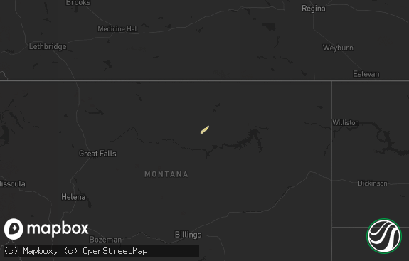
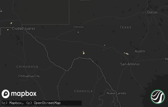
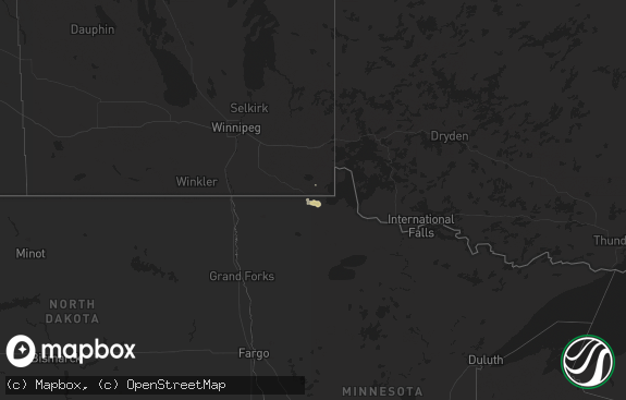
Hail Map in Montana on June 13, 2020
The weather event in Montana on June 13, 2020 includes Hail map. 10 states and 48 cities were impacted and suffered possible damage. The total estimated number of properties impacted is 515.

Hail
515
Estimated number of impacted properties by a 1.00" hail or larger0
Estimated number of impacted properties by a 1.75" hail or larger0
Estimated number of impacted properties by a 2.50" hail or largerStorm reports in Montana
Montana
| Date | Description |
|---|---|
| 06/13/20206:57 PM CDT | Asos station kctb cut bank airport. Likely outflow from an area thunderstorm. |
| 06/13/20206:22 PM CDT | 59 mph wind gust at aw delta... With a thunderstorm. |
| 06/13/20203:18 PM CDT | A local report indicates 66 MPH wind near 17 S FORT SMITH |
| 06/13/20202:15 PM CDT | A local report indicates 62 MPH wind near 1 SSE BAKER |
| 06/13/20203:50 AM CDT | At 849 PM MDT, a severe thunderstorm was located 11 miles northeast of Zortman, moving north at 35 mph. HAZARD...60 mph wind gusts and quarter size hail. SOURCE...Radar indicated. IMPACT...Hail damage to vehicles is expected. Expect wind damage to roofs, siding, and trees. Locations impacted include... Malta, Dodson, Phillips and Wagner. |
| 06/13/20203:16 AM CDT | At 816 PM MDT, a severe thunderstorm was located 22 miles north of Joplin, or 26 miles north of Chester, moving north at 45 mph. HAZARD...60 mph wind gusts and half dollar size hail. SOURCE...Public. IMPACT...Hail damage to vehicles is expected. Expect wind damage to roofs, siding, and trees. This severe thunderstorm will remain over mainly rural areas of northeastern Liberty and northwestern Hill Counties. |
| 06/13/20203:09 AM CDT | At 808 PM MDT, a severe thunderstorm was located 19 miles north of Joplin, or 24 miles north of Chester, moving north at 55 mph. HAZARD...Ping pong ball size hail and 60 mph wind gusts. SOURCE...Public. IMPACT...People and animals outdoors will be injured. Expect hail damage to roofs, siding, windows, and vehicles. Expect wind damage to roofs, siding, and trees. This severe thunderstorm will remain over mainly rural areas of northeastern Liberty and northwestern Hill Counties. |
| 06/13/20202:41 AM CDT | At 740 PM MDT, a severe thunderstorm was located near Joplin, or near Chester, moving northeast at 35 mph. HAZARD...60 mph wind gusts and quarter size hail. SOURCE...Radar indicated. IMPACT...Hail damage to vehicles is expected. Expect wind damage to roofs, siding, and trees. Locations impacted include... Chester, Joplin and Inverness. |
| 06/13/20201:58 AM CDT | At 657 PM MDT, a severe thunderstorm was located 15 miles west of Duck Creek Rec Area, or 15 miles southwest of Glasgow, moving north at 40 mph. HAZARD...60 mph wind gusts and quarter size hail. SOURCE...Radar indicated. IMPACT...Hail damage to vehicles is expected. Expect wind damage to roofs, siding, and trees. Locations impacted include... Glasgow, Fort Peck, Fort Peck Marina, Tampico, Hinsdale, Duck Creek Rec Area, St. Marie, Vandalia, The Bentonite Plant and Whatley. |
| 06/13/202012:53 AM CDT | At 552 PM MDT, a severe thunderstorm was located near Hell Creek Rec Area, or 14 miles north of Jordan, moving north at 45 mph. HAZARD...60 mph wind gusts and quarter size hail. SOURCE...Radar indicated. IMPACT...Hail damage to vehicles is expected. Expect wind damage to roofs, siding, and trees. Locations impacted include... Glasgow, Jordan, The Pines Rec Area, Fort Peck Marina, Hell Creek Rec Area, Duck Creek Rec Area, The Bentonite Plant and Whatley. |
| 06/12/20208:43 PM CDT | Nickel to ping pong sized hail. |
| 06/12/20208:09 PM CDT | Corrects previous non-tstm wnd gst report from 3 sw cut bank. Asos station kctb cut bank airport. |
| 06/12/20207:30 PM CDT | Mesonet station kigm8 king coulee. Time estimated by radar. |
| 06/12/20207:00 PM CDT | Spotter emailed a picture. Also reported 0.25 inches of rain. Time estimated based on radar. |
All States Impacted by Hail Map on June 13, 2020
Cities Impacted by Hail Map on June 13, 2020
- Malta, MT
- Kennett, MO
- Rector, AR
- Dodson, MT
- Yoder, WY
- Torrington, WY
- Babb, MT
- Fort Peck, MT
- Harrison, NE
- Mitchell, NE
- Springfield, KY
- Durango, CO
- Paguate, NM
- Cubero, NM
- Chester, MT
- Joplin, MT
- Laramie, WY
- Cut Bank, MT
- Lordsburg, NM
- Animas, NM
- Whitlash, MT
- Morrill, NE
- Hays, MT
- Harlem, MT
- Richland, MT
- Larslan, MT
- Bogalusa, LA
- Jarales, NM
- Essex, MT
- Casa Blanca, NM
- Buford, WY
- Browning, MT
- Lingle, WY
- Berea, KY
- Douglas, WY
- Lance Creek, WY
- Loring, MT
- Shawnee, WY
- Turner, MT
- Inverness, MT
- Hawk Springs, WY
- Newcastle, WY
- Glasgow, MT
- Fort Laramie, WY
- Jay Em, WY
- Poplarville, MS
- Carriere, MS
- Opheim, MT


