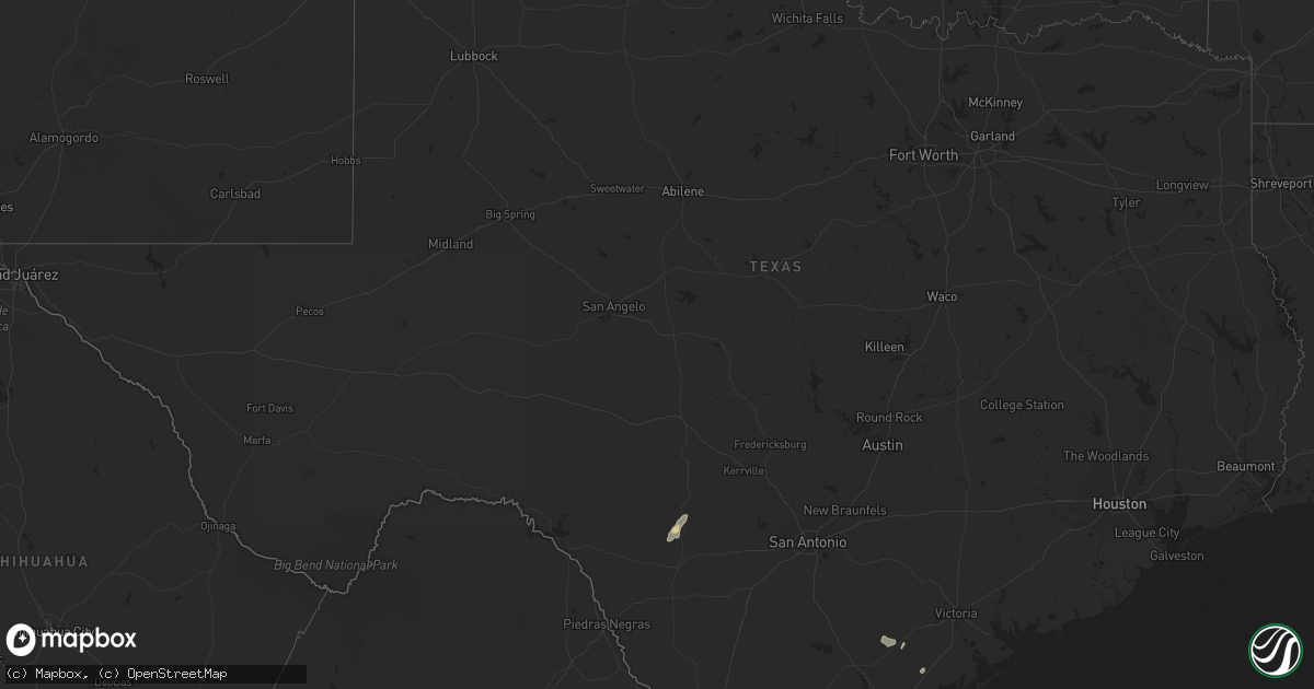
Hail Map in Texas on June 12, 2025
Get this storm
June 12 map
$229
one time, instant access
Download today. No call, no setup
Keep the $229
Bought the map and want the full workflow? Apply the entire $229 to a subscription within 7 days. None of it is wasted.
Every map, not just this one
This buys you this map. Subscription and you get every map we run, in the markets you choose from a few cities to whole states to nationwide. Plus real-time alerts the moment a storm fires.
Contact data
Name, contact info, occupancy, even credit band for addresses in the footprint. You go from where it hit to who to call.
Become the source they trust
Unlimited branding weather history reports on demand. You already have the documented answer ready for the property owner, and you are the one who showed up with it.
Property data and RoofTrace estimates
Pull up any address you have got, its value and the exact code rules for that jurisdiction, straight from One Click Code. Then RoofTrace estimates the squares, pitch, and roof value, priced the way you price.
Storm reports in Texas
Texas
| Date | Description |
|---|---|
| 06/12/20256:35 PM CDT | A nws employee reported metal roofing structures and a fence blown over near the intersection of benito ramirez and terry road in edinburg... Tx. |
| 06/12/20254:50 PM CDT | A fence was blown down on the island just northeast of the francine cohn preserve. |
| 06/12/20254:43 PM CDT | Large 30 ft tree down at intersection of leonard and mayfield st. |
| 06/12/20254:30 PM CDT | Nas corpus christi asos. |
| 06/12/20254:30 PM CDT | Power pole blown down blocking the roadway at oso bridge. |
| 06/12/20253:43 PM CDT | Corrects previous time from previous tstm wnd dmg report from corpus christi. Large 30 ft tree down at intersection of leonard and mayfield st. |
| 06/12/202511:00 AM CDT | Tree down in tuleta. |
| 06/12/20257:39 AM CDT | Live oak county emc confirmed minor tree and porch damage along a narrow path through george west. Media relayed photo of well developed funnel cloud with this storm. |
| 06/11/20258:04 PM CDT | Weslaco emergency management reported a residence trailer was rolled during strong winds just north of the expressway near mile 10 and mile 4 1/2 west with no injuries. |
| 06/11/20257:55 PM CDT | Awos station ktxw weslaco midvally. |
All States Impacted by Hail Map on June 12, 2025
Cities Impacted by Hail Map on June 12, 2025
- Beeville, TX
- Goliad, TX
- Refugio, TX
- Lagrange, WY
- Hawk Springs, WY
- Mission, SD
- Okreek, SD
- Cheyenne, WY
- Winner, SD
- Tallulah, LA
- Utica, MS
- Vicksburg, MS
- Taft, TX
- Robstown, TX
- Meriden, WY
- Albin, WY
- Portland, TX
- Cotopaxi, CO
- Loveland, CO
- Burns, WY
- Marshall, TX
- Aransas Pass, TX
- Albemarle, NC
- Locust, NC
- Oakboro, NC
- Uvalde, TX
- Homosassa, FL
- Concan, TX
- Lecanto, FL
- Rio Frio, TX
- Corpus Christi, TX
- Kennebec, SD
- Presho, SD
- Hamill, SD
- Picacho, NM
- Chugwater, WY
- Pine Bluffs, WY
- Forsyth, MT
- Bighorn, MT
- Saint Francis, SD
- Reliance, SD
- Hysham, MT
- Odin, MN
- Mountain Lake, MN
- Yoder, WY
- Wheatland, WY
- Bushnell, NE
- Fort Sumner, NM
- Mansfield, SD
- Northville, SD
- Mellette, SD
- Butterfield, MN
- Scotts Hill, TN
- Bath Springs, TN
- Port Aransas, TX
- Harrisburg, NE
- Brandon, MS
- Warner, SD
- Trimont, MN
- Ashton, SD
- Valentine, NE
- Liberty, MS
- Smithdale, MS
- Decaturville, TN
- Creswell, NC
- Ormsby, MN
- Dowagiac, MI
- Morriston, FL
- Williston, FL
- Pelahatchie, MS
- Medina, TN
- Stratford, SD
- Lavinia, TN
- Milan, TN
- Veteran, WY
- Crookston, NE
- Volborg, MT
- Fort Laramie, WY
- Grulla, TX
- Mission, TX
- Albert Lea, MN
- Linn, TX
- Roper, NC
- Conde, SD
- Turton, SD
- Otter, MT
- Trenton, FL
- Glenville, MN
- Cedar Grove, TN
- Jackson, TN
- Edinburg, TX
- Newberry, FL
- Bronson, FL
- Elida, NM
- Sparks, NE
- Maben, MS
- Austin, MN
- Jay Em, WY
- Broadus, MT
- Sturgis, MS
- Starkville, MS
- Truman, MN
- Welcome, MN
- Decatur, MI
- Kilgore, NE
- Ideal, SD
- Witten, SD
- Snyder, CO
- Latimer, IA
- Sheffield, IA
- Alexander, IA
- Ceylon, MN
- Sherburn, MN
- Pheba, MS
- Garciasville, TX
- Benson, MN
- Montevideo, MN
- Danvers, MN
- Sullivan City, TX
- Fairmont, MN
- Nenzel, NE
- Olive, MT
- Wood Lake, NE
- Cody, NE
- Merino, CO
- Sterling, CO
- Henning, TN
- Thornton, IA
- Covington, TN
- Appleton, MN
- Glendo, WY
- Hartville, WY
- Portales, NM
- Pierre, SD
- Ripley, TN
- Lyle, MN
- Maynard, MN
- Murdock, MN
- Lake Butler, FL
- Brooker, FL
- Rose Creek, MN
- Clara City, MN
- Stewart, MN
- Brownton, MN
- Glencoe, MN
- Buffalo Lake, MN
- Hutchinson, MN
- Orient, SD
- Highmore, SD
- Onida, SD
- Forest, MS
- Raymond, MN
- Peetz, CO
- Saint Ansgar, IA
- Hargill, TX
- Silver Lake, MN
- Winsted, MN
- Lester Prairie, MN
- Hamburg, MN
- Norwood Young America, MN
- Young America, MN
- Plato, MN
- Fleming, CO
- Holabird, SD
- Sidney, NE
- Stacyville, IA
- Rogers, NM
- Edcouch, TX
- Manville, WY
- Shawnee, WY
- Weslaco, TX
- Donna, TX
- Elsa, TX
- La Villa, TX
- Mercedes, TX
- Garrett, WY
- Bosler, WY
- Seneca, SD
- Prinsburg, MN
- Manly, IA
- Floyd, NM
- Osage, IA
- Broadwater, NE
- New Germany, MN
- Watertown, MN
- Mayer, MN
- Montrose, MN
- Cologne, MN
- Waconia, MN
- Merriman, NE
- Thedford, NE
- Halls, TN
- Blomkest, MN
- Whitman, NE
- Little Cedar, IA
- Pontotoc, MS
- Saint Bonifacius, MN
- Ree Heights, SD
- Nora Springs, IA
- Swea City, IA
- Ledyard, IA
- Buffalo Center, IA
- Rudd, IA
- Rockford, IA
- Lodgepole, NE
- Crook, CO
- Floyd, IA
- Lusk, WY
- Charles City, IA
- Orchard, IA
- Lakota, IA
- Baldwyn, MS
- Marietta, MS
- Casper, WY
- Bingham, NE
- Ashby, NE
- Ovid, CO
- Miller, SD
- Julesburg, CO
- Big Springs, NE
- Arthur, NE
- Ellsworth, NE
- Hyannis, NE
- Lewellen, NE
- Lemoyne, NE
- Rushville, NE
- Seneca, NE
- Venango, NE
- Holyoke, CO
- Tishomingo, MS
- Booneville, MS
- Keystone, NE
- Grant, NE
- Madrid, NE
- Champion, NE
- Imperial, NE
- Gordon, NE
- Mullen, NE
- Parks, NE
- Enders, NE
- Lance Creek, WY
- Benkelman, NE
- Stapleton, NE
- Wauneta, NE
- Palisade, NE
- Trenton, NE
- Fort Pierre, SD
- Milan, MN
- Saint James, MN
- Brownsdale, MN
- Indianola, NE
- Atwood, KS
- Oberlin, KS
- Herndon, KS
- Culbertson, NE
- McDonald, KS
- Pavillion, WY
- Bird City, KS
- Fort Supply, OK
- Colby, KS
- Ludell, KS
- Wagner, SD
- Guernsey, WY
- Mills, NE
- Emmons, MN
- Lake Andes, SD
- Worthing, SD
- Lake Park, IA
- Bonesteel, SD
- Canton, SD
- Sibley, IA
- Twin Lakes, MN
- Elmore, MN
- Spirit Lake, IA
- Menno, SD
- Springview, NE
- Doon, IA
- Inwood, IA
- Lennox, SD
- Hurley, SD
- Little Rock, IA
- Estherville, IA
- Bricelyn, MN
- Scotland, SD
- George, IA
- Olivet, SD
- Herrick, SD
- Harris, IA
- Dolliver, IA
- Burke, SD
- Alvord, IA
- Ocheyedan, IA
- Davis, SD
- Kiester, MN
- Fairfax, SD
- Armstrong, IA
- Freeman, SD
- Gregory, SD
- Oakley, KS
- Monument, KS
- Butler, OK
- Quinter, KS
- Grinnell, KS
- Utica, KS
- Lookeba, OK
- Hinton, OK
- Geary, OK
- New Iberia, LA
- Enterprise, LA
- Harrisonburg, LA
- Binger, OK
- Gracemont, OK
- Ninnekah, OK
- Rush Springs, OK
- Jetmore, KS
- Marlow, OK


