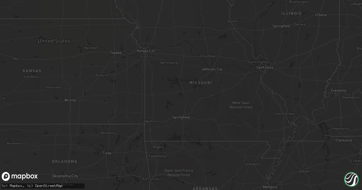
Hail Map in South Dakota on June 9, 2012
Get this storm
June 9 map
$229
one time, instant access
Download today. No call, no setup
Keep the $229
Bought the map and want the full workflow? Apply the entire $229 to a subscription within 7 days. None of it is wasted.
Every map, not just this one
This buys you this map. Subscription and you get every map we run, in the markets you choose from a few cities to whole states to nationwide. Plus real-time alerts the moment a storm fires.
Contact data
Name, contact info, occupancy, even credit band for addresses in the footprint. You go from where it hit to who to call.
Become the source they trust
Unlimited branding weather history reports on demand. You already have the documented answer ready for the property owner, and you are the one who showed up with it.
Property data and RoofTrace estimates
Pull up any address you have got, its value and the exact code rules for that jurisdiction, straight from One Click Code. Then RoofTrace estimates the squares, pitch, and roof value, priced the way you price.
Storm reports in South Dakota
South Dakota
| Date | Description |
|---|---|
| 06/09/20124:20 AM CDT | A local report indicates 1.00 inch wind near 4 NW HILLHEAD |
| 06/09/20124:17 AM CDT | A local report indicates 1.00 inch wind near 3 S PICKEREL LAKE STATE |
| 06/09/20122:10 AM CDT | A local report indicates 60 MPH wind near 4 ESE EUREKA |
| 06/09/20122:00 AM CDT | Hail lasted between 1 and 2 minutes |
| 06/09/20121:55 AM CDT | Extensive damage to a 50000 bushel grain bin |
| 06/09/20121:50 AM CDT | Extensive damage to a pole barn...neighbor lost an outbuilding |
| 06/09/20121:49 AM CDT | Few branches down in hoven...along with pea hail |
| 06/09/20121:45 AM CDT | Large limb down... Pea hail as well |
| 06/09/20121:10 AM CDT | Tree reported blown over in residents yard. Estimated 60 mph winds. |
| 06/09/201212:45 AM CDT | Significant damage. Lost one barn and another heavily damaged. House damaged. Large cottonwood tree split in half. Powerlines down. Estimated gusts 70 mph plus. |
| 06/09/201212:40 AM CDT | A local report indicates 1.75 inch wind near COW CREEK REC AREA |
| 06/09/201212:35 AM CDT | 2 to 2.5 inch hail....major vehicle damage |
| 06/09/201212:35 AM CDT | A local report indicates 1.75 inch wind near 2 SSW OVERLOOK REC AREA |
| 06/09/201212:10 AM CDT | A local report indicates 80 MPH wind near 5 NW MISSION RIDGE |
| 06/08/201211:54 PM CDT | A local report indicates 1.00 inch wind near 7 E HAYES |
| 06/08/201211:54 PM CDT | A local report indicates 2.00 inch wind near 5 SE HAYES |
| 06/08/201211:52 PM CDT | Significant damage. Lost one barn and another heavily damaged. House damaged. Large cottonwood tree split in half. Powerlines down. Estimated gusts 70 mph plus. |
| 06/08/201211:50 PM CDT | Siding stripped on west side of house |
| 06/08/201211:40 PM CDT | A local report indicates 80 MPH wind near CAPUTA |
| 06/08/201211:30 PM CDT | Quarter size hail covering the road from catron and highway 16 to bear country on highway 16. |
| 06/08/201211:30 PM CDT | A local report indicates 60 MPH wind near 6 NNW KIRLEY |
| 06/08/201211:28 PM CDT | A local report indicates 63 MPH wind near HERMOSA |
| 06/08/201211:20 PM CDT | Semi blown over at weigh station. |
| 06/08/201211:20 PM CDT | Branches down in town. Large tree down in town. |
| 06/08/201210:20 PM CDT | A local report indicates 67 MPH wind near 8 S WALL |
| 06/08/201210:15 PM CDT | A local report indicates 59 MPH wind near WALL |
| 06/08/201210:06 PM CDT | A local report indicates 1.00 inch wind near 7 SSW CREIGHTON |
| 06/08/201210:00 PM CDT | A local report indicates 60 MPH wind near 2 SE FARMINGDALE |
All States Impacted by Hail Map on June 9, 2012
Cities Impacted by Hail Map on June 9, 2012
- Rosholt, SD
- New Effington, SD
- Midland, SD
- Hayes, SD
- Fort Pierre, SD
- Pierre, SD
- Onida, SD
- Milesville, SD
- Vivian, SD
- Eagle Butte, SD
- Edinburg, ND
- Orient, SD
- Stratford, SD
- Ashton, SD
- Northville, SD
- Warner, SD
- Mellette, SD
- Graceville, MN
- Dumont, MN
- Barry, MN
- Clinton, MN
- Beardsley, MN
- Wilmot, SD
- Custer, SD
- Sisseton, SD
- Cresbard, SD
- Rockham, SD
- Redfield, SD
- Faulkton, SD
- Hensel, ND
- Cavalier, ND
- Walhalla, ND
- Neche, ND
- Conde, SD
- Edgeley, ND
- Agar, SD
- Mountain, ND
- Strathcona, MN
- Newfolden, MN
- Strandquist, MN
- Okeechobee, FL
- Bathgate, ND
- Pembina, ND
- Claremont, SD
- Houghton, SD
- Selby, SD
- Crystal, ND
- Grenville, SD
- Waubay, SD
- Hoople, ND
- Rapid City, SD
- Calvin, ND
- Munich, ND
- Veblen, SD
- Bristol, SD
- Webster, SD
- Box Elder, SD
- Clark, SD
- Pierpont, SD
- Eden, SD
- Langford, SD
- Bradley, SD
- Britton, SD
- Lake City, SD
- Roslyn, SD
- Gettysburg, SD
- Wall, SD
- Quinn, SD
- Akaska, SD
- Dupree, SD
- Philip, SD
- Morris, MN
- Andover, SD
- Rocklake, ND
- Edgemont, SD
- Moffit, ND
- Hazelton, ND
- Holloway, MN
- Wasta, SD
- Murdo, SD
- Okaton, SD
- Summit, SD
- Ipswich, SD
- New Underwood, SD
- Caputa, SD
- Saint Vincent, MN
- Hallock, MN
- Humboldt, MN
- Roseau, MN
- Holabird, SD
- Ashley, ND
- Grygla, MN
- Midwest, WY
- Amherst, SD
- Eureka, SD
- Harrold, SD
- Lancaster, MN
- Ellsworth Afb, SD
- Corona, SD
- Ortonville, MN
- Big Stone City, SD
- Black Hawk, SD
- Mansfield, SD
- Highmore, SD
- Wannaska, MN
- Vero Beach, FL
- Sturgis, SD
- Lidgerwood, ND
- Turton, SD
- Groton, SD
- Raymond, SD
- Goodridge, MN
- The Villages, FL
- Chokio, MN
- Selfridge, ND
- Badger, MN
- Blunt, SD
- Keystone, SD
- Hill City, SD
- Hermosa, SD
- Fort Ransom, ND
- Kathryn, ND
- McLaughlin, SD
- Presho, SD
- Newcastle, WY
- Hoven, SD
- Langdon, ND
- Driscoll, ND
- Brooksville, FL
- Adams, ND
- Havana, ND
- Seneca, SD
- Forman, ND
- Cogswell, ND
- Ortley, SD
- Viking, MN
- Peever, SD
- Cayuga, ND
- Sheldon, ND
- Milton, ND
- Aberdeen, SD
- Kindred, ND
- Leonard, ND
- Kadoka, SD
- Owanka, SD
- Java, SD
- Wheaton, MN
- Clifford, ND
- Lake Placid, FL
- Lebanon, SD
- Saint Cloud, FL
- Piedmont, SD
- Thief River Falls, MN
- Union Center, SD
- Miller, SD
- Venus, FL
- Satellite Beach, FL
- Melbourne, FL
- Merritt Island, FL
- Indialantic, FL
- Palm Bay, FL
- Osage, WY
- Pompano Beach, FL
- Kaycee, WY
- Warren, MN
- Lisbon, ND


