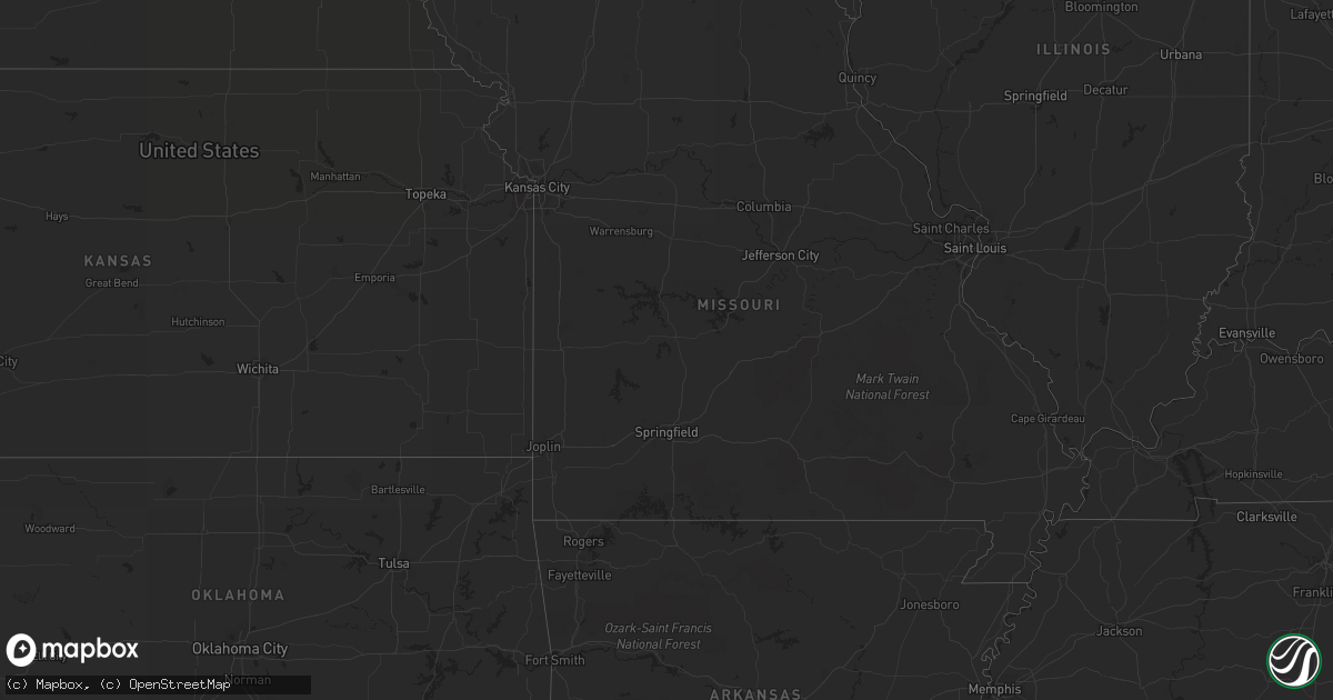
Hail Map in North Dakota on June 9, 2012
Get this storm
June 9 map
$229
one time, instant access
Download today. No call, no setup
Keep the $229
Bought the map and want the full workflow? Apply the entire $229 to a subscription within 7 days. None of it is wasted.
Every map, not just this one
This buys you this map. Subscription and you get every map we run, in the markets you choose from a few cities to whole states to nationwide. Plus real-time alerts the moment a storm fires.
Contact data
Name, contact info, occupancy, even credit band for addresses in the footprint. You go from where it hit to who to call.
Become the source they trust
Unlimited branding weather history reports on demand. You already have the documented answer ready for the property owner, and you are the one who showed up with it.
Property data and RoofTrace estimates
Pull up any address you have got, its value and the exact code rules for that jurisdiction, straight from One Click Code. Then RoofTrace estimates the squares, pitch, and roof value, priced the way you price.
Storm reports in North Dakota
North Dakota
| Date | Description |
|---|---|
| 06/09/20127:18 AM CDT | A local report indicates 65 MPH wind near LAKE METIGOSHE STATE PA |
| 06/09/20127:00 AM CDT | Minot pd said multiple power lines down in nw minot. 6th street underpass still closed. Relayed by broadcast media. |
| 06/08/20128:40 PM CDT | A local report indicates 1.00 inch wind near 1 E BATHGATE |
| 06/08/20128:18 PM CDT | A local report indicates 1.00 inch wind near 4 NW CAVALIER |
| 06/08/20128:03 PM CDT | Reported near the town of hallson |
All States Impacted by Hail Map on June 9, 2012
Cities Impacted by Hail Map on June 9, 2012
- Rosholt, SD
- New Effington, SD
- Midland, SD
- Hayes, SD
- Fort Pierre, SD
- Pierre, SD
- Onida, SD
- Milesville, SD
- Vivian, SD
- Eagle Butte, SD
- Edinburg, ND
- Orient, SD
- Stratford, SD
- Ashton, SD
- Northville, SD
- Warner, SD
- Mellette, SD
- Graceville, MN
- Dumont, MN
- Barry, MN
- Clinton, MN
- Beardsley, MN
- Wilmot, SD
- Custer, SD
- Sisseton, SD
- Cresbard, SD
- Rockham, SD
- Redfield, SD
- Faulkton, SD
- Hensel, ND
- Cavalier, ND
- Walhalla, ND
- Neche, ND
- Conde, SD
- Edgeley, ND
- Agar, SD
- Mountain, ND
- Strathcona, MN
- Newfolden, MN
- Strandquist, MN
- Okeechobee, FL
- Bathgate, ND
- Pembina, ND
- Claremont, SD
- Houghton, SD
- Selby, SD
- Crystal, ND
- Grenville, SD
- Waubay, SD
- Hoople, ND
- Rapid City, SD
- Calvin, ND
- Munich, ND
- Veblen, SD
- Bristol, SD
- Webster, SD
- Box Elder, SD
- Clark, SD
- Pierpont, SD
- Eden, SD
- Langford, SD
- Bradley, SD
- Britton, SD
- Lake City, SD
- Roslyn, SD
- Gettysburg, SD
- Wall, SD
- Quinn, SD
- Akaska, SD
- Dupree, SD
- Philip, SD
- Morris, MN
- Andover, SD
- Rocklake, ND
- Edgemont, SD
- Moffit, ND
- Hazelton, ND
- Holloway, MN
- Wasta, SD
- Murdo, SD
- Okaton, SD
- Summit, SD
- Ipswich, SD
- New Underwood, SD
- Caputa, SD
- Saint Vincent, MN
- Hallock, MN
- Humboldt, MN
- Roseau, MN
- Holabird, SD
- Ashley, ND
- Grygla, MN
- Midwest, WY
- Amherst, SD
- Eureka, SD
- Harrold, SD
- Lancaster, MN
- Ellsworth Afb, SD
- Corona, SD
- Ortonville, MN
- Big Stone City, SD
- Black Hawk, SD
- Mansfield, SD
- Highmore, SD
- Wannaska, MN
- Vero Beach, FL
- Sturgis, SD
- Lidgerwood, ND
- Turton, SD
- Groton, SD
- Raymond, SD
- Goodridge, MN
- The Villages, FL
- Chokio, MN
- Selfridge, ND
- Badger, MN
- Blunt, SD
- Keystone, SD
- Hill City, SD
- Hermosa, SD
- Fort Ransom, ND
- Kathryn, ND
- McLaughlin, SD
- Presho, SD
- Newcastle, WY
- Hoven, SD
- Langdon, ND
- Driscoll, ND
- Brooksville, FL
- Adams, ND
- Havana, ND
- Seneca, SD
- Forman, ND
- Cogswell, ND
- Ortley, SD
- Viking, MN
- Peever, SD
- Cayuga, ND
- Sheldon, ND
- Milton, ND
- Aberdeen, SD
- Kindred, ND
- Leonard, ND
- Kadoka, SD
- Owanka, SD
- Java, SD
- Wheaton, MN
- Clifford, ND
- Lake Placid, FL
- Lebanon, SD
- Saint Cloud, FL
- Piedmont, SD
- Thief River Falls, MN
- Union Center, SD
- Miller, SD
- Venus, FL
- Satellite Beach, FL
- Melbourne, FL
- Merritt Island, FL
- Indialantic, FL
- Palm Bay, FL
- Osage, WY
- Pompano Beach, FL
- Kaycee, WY
- Warren, MN
- Lisbon, ND


