Hail Map in North Dakota on June 2, 2011
Get this storm
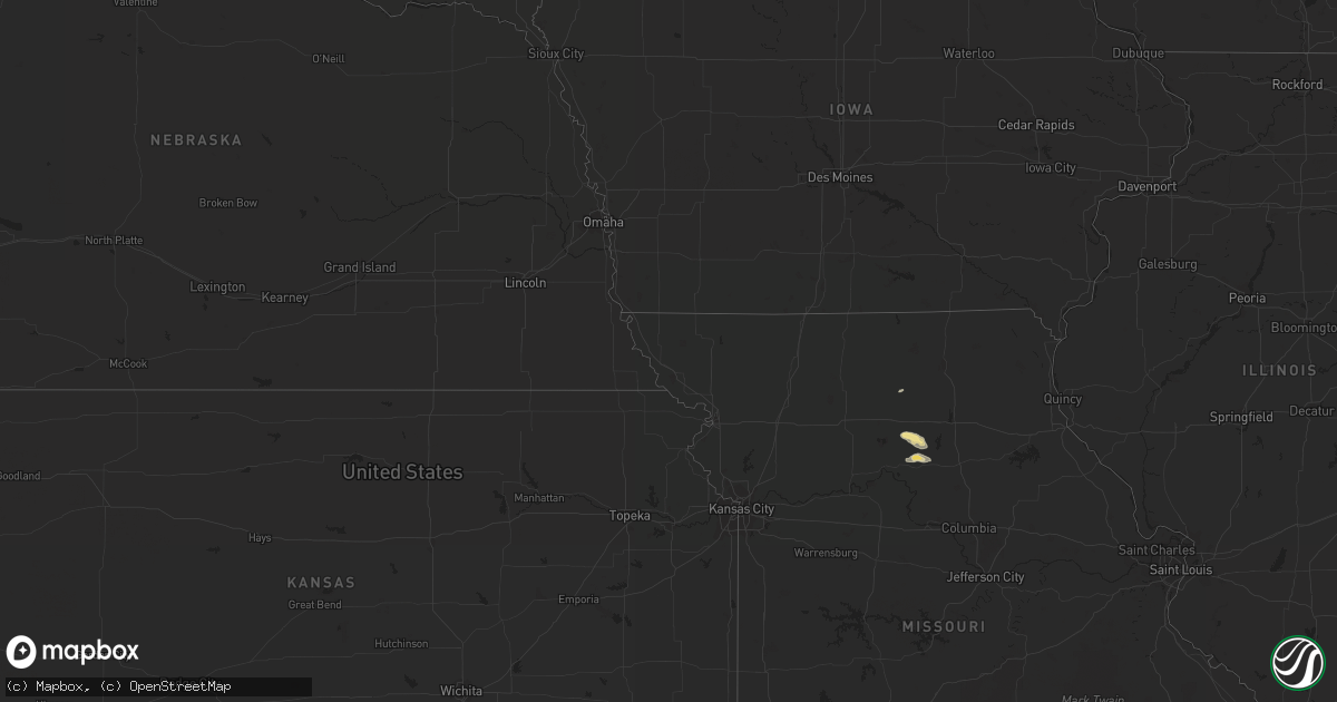
June 2 map
$229
one time, instant access
Download today. No call, no setup
Keep the $229
Bought the map and want the full workflow? Apply the entire $229 to a subscription within 7 days. None of it is wasted.
Every map, not just this one
This buys you this map. Subscription and you get every map we run, in the markets you choose from a few cities to whole states to nationwide. Plus real-time alerts the moment a storm fires.
Contact data
Name, contact info, occupancy, even credit band for addresses in the footprint. You go from where it hit to who to call.
Become the source they trust
Unlimited branding weather history reports on demand. You already have the documented answer ready for the property owner, and you are the one who showed up with it.
Property data and RoofTrace estimates
Pull up any address you have got, its value and the exact code rules for that jurisdiction, straight from One Click Code. Then RoofTrace estimates the squares, pitch, and roof value, priced the way you price.
Storm reports in North Dakota
North Dakota
| Date | Description |
|---|---|
| 06/02/20114:15 AM CDT | Large tree branches were blown down around town. A 58 mph wind gust was measured at the cavalier awos. |
| 06/02/20114:05 AM CDT | Large tree branches were blown down. |
| 06/02/20113:45 AM CDT | The roof to a barn built in 1985 is gone. There are also 2 to 3 inch in diameter tree branches on the ground. |
| 06/02/20113:40 AM CDT | Several mature evergreen trees were uprooted. |
| 06/02/20113:30 AM CDT | Viewer reported trees were uprooted and on a house. |
| 06/02/20113:00 AM CDT | Cattle pens were damaged and a large tank was blown across the road. |
| 06/02/20112:45 AM CDT | Many large tree branches blown down. |
| 06/02/20112:44 AM CDT | The wind gust was measured at the ndawn mesonet station located 8 miles north of mchenry in eddy county. |
| 06/02/20112:38 AM CDT | Downed trees and power lines. Relay by state radio. |
| 06/02/20112:35 AM CDT | A local report indicates 78 MPH wind near CARRINGTON |
| 06/02/20112:25 AM CDT | Relay by state radio |
| 06/02/20111:40 AM CDT | Relay by state radio |
| 06/02/201112:50 AM CDT | Pole barn destroyed. Stock trailer was rolled approximately 200 feet. |
| 06/02/201112:35 AM CDT | A local report indicates 94 MPH wind near 3 SSW LINTON |
| 06/01/201110:00 PM CDT | ...pea to half dallor sized hail... 0.53 of rainfall over last 30 to 45 minutes... |
| 06/01/20118:57 PM CDT | Report relayed by the media. |
All States Impacted by Hail Map on June 2, 2011
Cities Impacted by Hail Map on June 2, 2011
- Larimore, ND
- Northwood, ND
- El Paso, TX
- Woodworth, ND
- Vance, SC
- Holly Hill, SC
- Kintyre, ND
- Linton, ND
- Hague, ND
- Wishek, ND
- Appleton, MN
- Hayes, SD
- Eutawville, SC
- Strasburg, ND
- Franklin, MN
- Morgan, MN
- Madison, MN
- Dupree, SD
- Rosebud, MT
- Kinsey, MT
- Forsyth, MT
- Deridder, LA
- Harlem, MT
- Hays, MT
- Lancaster, MN
- Lake Bronson, MN
- Carson, ND
- Selfridge, ND
- Interior, SD
- Midland, SD
- Wanblee, SD
- Scenic, SD
- Wall, SD
- Philip, SD
- Long Valley, SD
- Pine Ridge, SD
- Porcupine, SD
- Kadoka, SD
- Kyle, SD
- Sherwood, ND
- Lugoff, SC
- Twin Brooks, SD
- South Shore, SD
- Rocky Ford, GA
- Oakdale, LA
- Gaston, SC
- Columbia, SC
- Aiken, SC
- Terry, MT
- Fallon, MT
- Saint Vincent, MN
- Pembina, ND
- Saint John, ND
- Upham, ND
- Bantry, ND
- Willow City, ND
- Bottineau, ND
- Dunseith, ND
- Kramer, ND
- Keldron, SD
- Mamou, LA
- Big Sandy, MT
- Fort Benton, MT
- Loma, MT
- Chapin, SC
- Karlstad, MN
- Salisbury, MO
- Keytesville, MO
- Little Mountain, SC
- Blythewood, SC
- Windom, MN
- Waxhaw, NC
- Fort Mill, SC
- Hatchechubbee, AL
- Gilbert, SC
- Broadview, NM
- Clovis, NM
- Watauga, SD
- Morristown, SD
- New London, MN
- Spicer, MN
- Lankin, ND
- Michigan, ND
- Rogers, ND
- Dazey, ND
- Fabens, TX
- Twin City, GA
- Midville, GA
- Swainsboro, GA
- Clint, TX
- Selby, SD
- Gettysburg, SD
- Blacksburg, SC
- Jonesville, SC
- Union, SC
- Simmesport, LA
- Plaucheville, LA
- Evergreen, LA
- Bunkie, LA
- Waynesboro, GA
- Millen, GA
- Kandiyohi, MN
- Pacolet, SC
- Gaffney, SC
- Olivia, MN
- Lake Lillian, MN
- Blomkest, MN
- Danube, MN
- Mittie, LA
- Kinder, LA
- Dry Creek, LA
- Gastonia, NC
- Meadow, SD
- McIntosh, SD
- Tolna, ND
- Kings Mountain, NC
- Locust Grove, GA
- Mcdonough, GA
- Lakota, ND
- Pekin, ND
- Mill Spring, NC
- Faith, SD
- Simpsonville, SC
- Greer, SC
- Elton, LA
- Fort Pierre, SD
- Flat Rock, NC
- Hendersonville, NC
- Carrington, ND
- Grace City, ND
- Gackle, ND
- McLaughlin, SD
- Hinsdale, MT
- Cottonport, LA
- Napoleon, ND
- Pingree, ND
- Malta, MT
- Elgin, SC
- Lexington, SC
- Jamestown, ND
- Ypsilanti, ND
- Jud, ND
- Montpelier, ND
- Fort Peck, MT
- Spartanburg, SC
- Blair, SC
- Stephen, MN
- Raymond, MN
- Kerkhoven, MN
- Mcville, ND
- Aneta, ND
- Ville Platte, LA
- Marceline, MO
- Rothville, MO
- Lehr, ND
- Zeeland, ND
- Streeter, ND
- Webster, SD
- Park River, ND
- Kenmare, ND
- Stratford, TX
- Timber Lake, SD
- Isabel, SD
- Strandquist, MN
- Greenbush, MN
- Hallock, MN
- Badger, MN
- Kennedy, MN
- Halma, MN
- Donaldson, MN
- Lawton, ND
- Rutherfordton, NC
- Crystal, ND
- Hoople, ND
- Hensel, ND
- Saint Thomas, ND
- Dell City, TX
- Hector, MN
- Carlisle, SC
- Whitmire, SC
- Whiting, IA
- Onawa, IA
- Mansura, LA
- Cheneyville, LA
- Hessmer, LA
- Turton, SD
- Woodruff, SC
- Boiling Springs, SC
- Cowpens, SC
- Chesnee, SC
- Moore, SC
- Una, SC
- Roebuck, SC
- Glendale, SC
- Arcadia, SC
- Wellford, SC
- Duncan, SC
- Milner, GA
- Springfield, MN
- Clements, MN
- Moreauville, LA
- Washington, LA
- Morrow, LA
- Cordova, SC
- Cope, SC
- Tappen, ND
- Hamilton, ND
- Cavalier, ND
- Pennock, MN
- Willmar, MN
- Chester, SC
- Pinewood, SC
- Loving, NM
- Arvilla, ND
- North, SC
- Neeses, SC
- Salley, SC
- Springfield, SC
- Lake Lure, NC
- Fort Hancock, TX
- Chinook, MT
- Columbus, NC
- Dodson, MT
- Pitkin, LA
- Atwater, MN
- Cooperstown, ND
- Williston, SC
- Binford, ND
- Sutton, ND
- Rowesville, SC
- Olar, SC
- Warren, TX
- Belgrade, MN
- Batesburg, SC
- Casar, NC
- Ellenboro, NC
- Sugartown, LA
- Reeves, LA
- Fredonia, ND
- Drayton, ND
- Jonesville, LA
- Monterey, LA
- Cayce, SC
- Newington, GA
- Waubay, SD
- New Rockford, ND
- Whitewater, MT
- Saco, MT
- Sleepy Eye, MN
- Glenfield, ND
- Courtenay, ND
- Statesboro, GA
- Angola, LA
- Saint Francisville, LA
- Metter, GA
- Norway, SC
- Warwick, ND
- Braddock, ND
- Mchenry, ND
- Hazelton, ND
- Dawson, ND
- Steele, ND
- Fort Yates, ND
- Wakpala, SD
- Lamberton, MN
- Tornillo, TX
- Gadsden, SC
- Goodwell, OK
- Leesville, SC
- Eagle Butte, SD
- Nashua, MT
- Saint Matthews, SC
- Swansea, SC
- Eastover, SC
- Hopkins, SC
- Penrose, NC
- Horse Shoe, NC
- Brevard, NC
- Pisgah Forest, NC
- Etowah, NC
- Mills River, NC
- Saluda, NC
- Roseau, MN
- Brooten, MN
- Ridgeway, SC
- Union Center, SD
- Jenkinsville, SC
- Irmo, SC
- Pomaria, SC
- Winnsboro, SC
- Finley, ND
- Saint Landry, LA
- Vidalia, LA
- Woodville, MS
- Storden, MN
- Prosperity, SC
- Sanders, MT
- Edmore, ND
- Branchville, SC
- Havre, MT
- Canton, NC
- Candler, NC
- Ashton, SD
- Redfield, SD
- Wimbledon, ND
- Hannaford, ND
- Melrose, MN
- Dalhart, TX
- Miller, SD
- Milan, MN
- Danvers, MN
- Minto, ND
- Oslo, MN
- Manvel, ND
- Otto, NC
- Luverne, ND
- Bostic, NC
- Forest City, NC
- Mud Butte, SD
- Cameron, SC
- Spurger, TX
- Woodville, TX
- Morris, MN
- Black Mountain, NC
- Spindale, NC
- Lettsworth, LA
- Lawndale, NC
- Quinn, SD
- Jeffers, MN
- Sanborn, MN
- Oberlin, LA
- Rolla, KS
- Lyman, SC
- Cusseta, GA
- Currie, MN
- Slayton, MN
- Elida, NM
- Ehrhardt, SC
- New Leipzig, ND
- Blackville, SC
- Bamberg, SC
- Denmark, SC
- Girard, GA
- East Flat Rock, NC
- Lloyd, MT
- Redwood Falls, MN
- Taiban, NM
- Argyle, MN
- Benson, MN
- New Cambria, MO
- Pisek, ND
- Bowdle, SD
- Belmont, NC
- Marshall, MN
- Vesta, MN
- Milroy, MN
- Frankfort, SD
- West Columbia, SC
- Morton, MN
- Fairfax, MN
- Shields, ND
- Devils Lake, ND
- Ashley, ND
- Prinsburg, MN
- Kensal, ND
- Garfield, GA
- Pierson, IA
- Seale, AL
- Corona, SD
- Tuscaloosa, AL
- Tracy, MN
- Hilger, MT
- Medina, ND
- Pettibone, ND
- Fordville, ND
- Brocket, ND
- Fountain Inn, SC
- Winigan, MO
- Fosters, AL
- Orangeburg, SC
- Crary, ND
- Webster, ND
- Glasgow, MT
- Summerton, SC
- Towner, ND
- Wedgefield, SC
- Roswell, NM
- Clark, SD
- Conde, SD
- Hereford, TX
- Spiritwood, ND
- Bristol, SD
- Bowman, SC
- Keyes, OK
- Box Springs, GA
- Buena Vista, GA
- Fort Benning, GA
- Fairfax, SC
- Mohall, ND
- Bighorn, MT
- Bathgate, ND
- Sanborn, ND
- Lemmon, SD
- Renville, MN
- Java, SD
- Livingston, TX
- Alsen, ND
- Marksville, LA
- Washta, IA
- Pauline, SC
- Buffalo, SC
- Shelby, NC
- Grover, NC
- Doland, SD
- Phenix City, AL
- Zortman, MT


