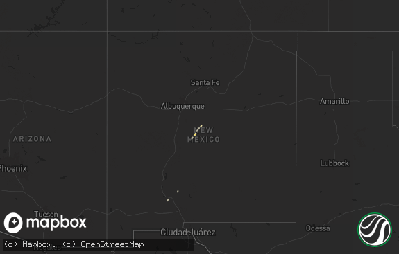
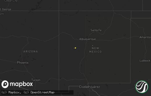
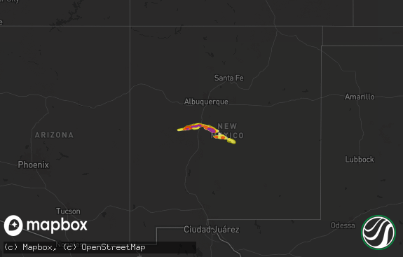
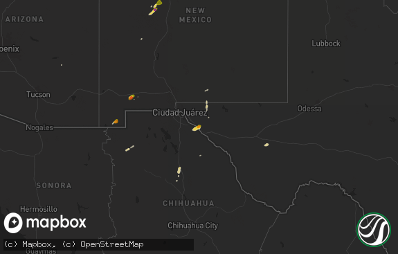
Hail Map in New Mexico on May 23, 2014
The weather event in New Mexico on May 23, 2014 includes Hail map. 15 states and 229 cities were impacted and suffered possible damage. The total estimated number of properties impacted is 1,117.

Hail
1,117
Estimated number of impacted properties by a 1.00" hail or larger2
Estimated number of impacted properties by a 1.75" hail or larger0
Estimated number of impacted properties by a 2.50" hail or largerStorm reports in New Mexico
New Mexico
| Date | Description |
|---|---|
| 05/23/20146:50 PM CDT | Spotter reported golfball hail. Time estimated based on radar. |
| 05/23/20146:32 PM CDT | A local report indicates 1.00 inch wind near CAPITAN |
| 05/23/20145:36 PM CDT | Dunken raws. |
| 05/23/20144:06 PM CDT | Kabq asos. |
| 05/23/20148:27 AM CDT | A local report indicates 1.50 inch wind near 2 N CARLSBAD |
| 05/23/20141:29 AM CDT | Golf ball size hail at the intersection of w pierce and n pate. |
| 05/23/20141:15 AM CDT | In northwest carlsbad. |
| 05/23/20141:10 AM CDT | At the corner of lee and elm. |
| 05/22/20149:40 PM CDT | A local report indicates 1.00 inch wind near 10 WSW COLONIAS |
| 05/22/20148:36 PM CDT | Spotter reports golf ball hail |
| 05/22/20148:05 PM CDT | Spotter reported brief tornado that touched down twice northwest of jal. |
| 05/22/20148:05 PM CDT | Hail started at 805 pm cdt and lasted until 835 pm cdt. Size ranged from golfballs to softballs. Softball hail was soft and shattered upon impact. |
| 05/22/20148:05 PM CDT | Spotter reported golf ball size hail south of artesia. |
| 05/22/20148:03 PM CDT | A local report indicates 1.50 inch wind near 10 S ARTESIA |
| 05/22/20148:00 PM CDT | Spotter reports quarter size hail along seven rivers hwy |
| 05/22/20147:45 PM CDT | Spotter reported golf ball hail. |
| 05/22/20147:43 PM CDT | Spotter reports hail up to 2 inches. |
| 05/22/20147:11 PM CDT | A local report indicates 1.75 inch wind near 20 S HOPE |
All States Impacted by Hail Map on May 23, 2014
Cities Impacted by Hail Map on May 23, 2014
- Bonneau, SC
- Greeleyville, SC
- Saint Stephen, SC
- Pineville, SC
- Manning, SC
- Eunice, NM
- Buffalo, SC
- Union, SC
- Greer, SC
- Pauline, SC
- Roebuck, SC
- Woodruff, SC
- Moore, SC
- Duncan, SC
- Spartanburg, SC
- Gaffney, SC
- Lancaster, SC
- Hickory Grove, SC
- Fort Mill, SC
- Monroe, NC
- Sharon, SC
- Waxhaw, NC
- Matthews, NC
- Charlotte, NC
- Smyrna, SC
- Rock Hill, SC
- York, SC
- Encino, NM
- Fort Davis, TX
- Loris, SC
- Aynor, SC
- Conway, SC
- Galivants Ferry, SC
- Ridgeway, SC
- Elgin, SC
- Blythewood, SC
- Columbia, SC
- Corona, NM
- Liberty, SC
- Central, SC
- Pickens, SC
- Six Mile, SC
- Van Horn, TX
- Tuttle, ND
- Coahoma, TX
- Carlsbad, NM
- Calabash, NC
- Longs, SC
- Ash, NC
- Tabor City, NC
- Claunch, NM
- Sumter, SC
- Colorado Springs, CO
- Alcolu, SC
- Wedgefield, SC
- Pacolet, SC
- Gable, SC
- Heath Springs, SC
- Kershaw, SC
- Moncks Corner, SC
- Dexter, NM
- Estancia, NM
- Mountainair, NM
- Otter, MT
- Salt Flat, TX
- Jamestown, ND
- Buchanan, ND
- Spiritwood, ND
- Torreon, NM
- Salters, SC
- Sunset Beach, NC
- Little River, SC
- Ocean Isle Beach, NC
- Moriarty, NM
- Myrtle Beach, SC
- Roswell, NM
- Rogers, NM
- Page, AZ
- Penrose, CO
- Pueblo, CO
- Trementina, NM
- Conchas Dam, NM
- Andrews, SC
- Georgetown, SC
- Lane, SC
- Rembert, SC
- Kingstree, SC
- Easley, SC
- Santa Rosa, NM
- Hanksville, UT
- Eastover, SC
- Hopkins, SC
- Laguna, NM
- Carrizozo, NM
- Tappen, ND
- Dawson, ND
- Jal, NM
- Winnsboro, SC
- Regan, ND
- Blackstock, SC
- Blair, SC
- Carlisle, SC
- Wilton, ND
- Center, ND
- Baldwin, ND
- Socorro, NM
- Willard, NM
- Vaughn, NM
- Elida, NM
- Artesia, NM
- Anton Chico, NM
- Arcadia, SC
- Wellford, SC
- Lyman, SC
- Startex, SC
- North Myrtle Beach, SC
- Saint Matthews, SC
- Dalzell, SC
- Gadsden, SC
- Lugoff, SC
- Gresham, SC
- Marion, SC
- Robinson, ND
- Capitan, NM
- Walsenburg, CO
- Alpine, TX
- Driscoll, ND
- Hobbs, NM
- Ribera, NM
- Lovington, NM
- Pamplico, SC
- Shallotte, NC
- Scranton, ND
- Solano, NM
- Fort Lawn, SC
- Nye, MT
- Kanab, UT
- Lake Powell, UT
- Weed, NM
- Wellington, KS
- Mayfield, KS
- Glorieta, NM
- Model, CO
- Ypsilanti, ND
- Loving, NM
- Jemez Pueblo, NM
- Jemez Springs, NM
- Riverton, WY
- Big Spring, TX
- Alto, NM
- Catawba, SC
- Edgemoor, SC
- Jonesville, SC
- Montpelier, ND
- Belen, NM
- Birney, MT
- Lame Deer, MT
- Bismarck, ND
- McClellanville, SC
- Glendale, SC
- McConnells, SC
- Chester, SC
- Una, SC
- Hartford, TN
- Lamy, NM
- Ruidoso Downs, NM
- West Orange, NJ
- South Orange, NJ
- Orange, NJ
- Pinewood, SC
- Magdalena, NM
- Hazen, ND
- Stanton, TX
- Steele, ND
- Carthage, NC
- Tatum, NM
- Maljamar, NM
- Picacho, NM
- Tinnie, NM
- Medina, ND
- Towanda, KS
- Benton, KS
- Augusta, KS
- Vancourt, TX
- Jamestown, SC
- Shaw Afb, SC
- Sierra Blanca, TX
- Albuquerque, NM
- Corrales, NM
- Bernalillo, NM
- Glen Ullin, ND
- Alamogordo, NM
- Tularosa, NM
- Cosby, TN
- La Loma, NM
- Las Vegas, NM
- Aguilar, CO
- Cloudcroft, NM
- Tijeras, NM
- Maplewood, NJ
- Millburn, NJ
- Algodones, NM
- Placitas, NM
- Wing, ND
- Mosquero, NM
- Robbins, NC
- Forest Grove, MT
- Lewistown, MT
- North Salem, NY
- Waccabuc, NY
- Cross River, NY
- Goldens Bridge, NY
- Camden, SC
- Huger, SC
- Cordesville, SC
- Cades, SC
- Littleton, CO
- Hagerman, NM
- Greenville, SC
- Mauldin, SC
- Monument Valley, UT
- New Zion, SC
- Simpsonville, SC
- Mineral Bluff, GA
- San Angelo, TX
- Ruidoso, NM
- Glencoe, NM
- Pineville, NC
- Clines Corners, NM


