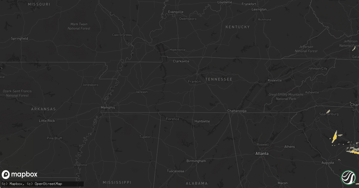
Hail Map in Florida on May 15, 2012
Get this storm
May 15 map
$229
one time, instant access
Download today. No call, no setup
Keep the $229
Bought the map and want the full workflow? Apply the entire $229 to a subscription within 7 days. None of it is wasted.
Every map, not just this one
This buys you this map. Subscription and you get every map we run, in the markets you choose from a few cities to whole states to nationwide. Plus real-time alerts the moment a storm fires.
Contact data
Name, contact info, occupancy, even credit band for addresses in the footprint. You go from where it hit to who to call.
Become the source they trust
Unlimited branding weather history reports on demand. You already have the documented answer ready for the property owner, and you are the one who showed up with it.
Property data and RoofTrace estimates
Pull up any address you have got, its value and the exact code rules for that jurisdiction, straight from One Click Code. Then RoofTrace estimates the squares, pitch, and roof value, priced the way you price.
Storm reports in Florida
Florida
| Date | Description |
|---|---|
| 05/15/20126:30 PM CDT | 60 mph gust measure from home weather station. Also had penny sized hail at time. |
| 05/15/20126:20 PM CDT | Usaf 54 ft wind tower number 62 measured wind gust of 56 kt/64 mph |
| 05/15/20126:15 PM CDT | Usaf 54 ft wind tower number 108 measured wind gust of 55 kt/63 mph |
| 05/15/20126:15 PM CDT | Usaf 54 ft wind tower number 819 measured wind gust of 54 kt/62 mph |
| 05/15/20126:15 PM CDT | Tree blown down at intersection of westwood drive and bryn mawr drive. Briefly blocked the road. |
| 05/15/20126:10 PM CDT | Tree blown down across highway 46. Briefly caused road closure. Delayed report from brevard county em director. |
| 05/15/20124:40 PM CDT | 3 downed trees and a blown over screen enclosure. Event time estimated by radar. |
| 05/15/20123:25 PM CDT | Winds pushed a window off its track at the fire station at 320 south flagler. Trained spotter estimated winds to be 70 mph. |
| 05/15/20123:15 PM CDT | Hail of at least quarter sized fell between 415 pm and 430 pm. Many cars pulled off u.s. Highway 1 into the buford grove baptist church parking lot. |
| 05/15/20123:08 PM CDT | Large tree down at 1365 state road 206 |
| 05/15/20122:30 PM CDT | The jacksonville electric authority reported widespread powerline damage across arlington and near craig airfield where trees and debris were blown into power lines fro |
| 05/15/20121:40 PM CDT | Powerlines were damaged due to thunderstorm winds blowing trees and debris into the lines. There were also reports of some lightning strikes damaging the powerlines. Cu |
| 05/15/20121:39 PM CDT | Media relayed a public report of golfball sized hail at north main street and busch drive. |
| 05/15/20121:00 PM CDT | Clay electric reported trees were blown down into powerlines in the clay hill area. |
All States Impacted by Hail Map on May 15, 2012
Cities Impacted by Hail Map on May 15, 2012
- Saint Francis, WI
- Cudahy, WI
- Woodsboro, TX
- Bayside, TX
- Jacksonville, FL
- Gilmer, TX
- Roanoke Rapids, NC
- Windsor, VA
- Townsend, GA
- Riceboro, GA
- Springfield, GA
- Lumberton, NC
- Saint Augustine, FL
- Palm Coast, FL
- Brookfield, WI
- Richmond Hill, GA
- Jefferson, TX
- Spartanburg, SC
- Boiling Springs, SC
- Aransas Pass, TX
- Rockport, TX
- Port Aransas, TX
- New Smyrna Beach, FL
- De Kalb, TX
- Simms, TX
- Longview, TX
- Swansea, SC
- Gaston, SC
- Saint Matthews, SC
- Princeton, NC
- Smithfield, NC
- Four Oaks, NC
- Chesnee, SC
- Vivian, LA
- Mooringsport, LA
- Lexington, SC
- Fernandina Beach, FL
- Conway, SC
- White Oak, GA
- Sarita, TX
- Armstrong, TX
- Newberry, SC
- Silverstreet, SC
- Santee, SC
- Wedgefield, SC
- Georgetown, SC
- Andrews, SC
- Hilliard, FL
- Columbia, SC
- Parrish, FL
- Lithia, FL
- Wilson, NC
- Lucama, NC
- Milwaukee, WI
- Kinards, SC
- Patrick Afb, FL
- Merritt Island, FL
- Walterboro, SC
- Blounts Creek, NC
- Jesup, GA
- Irmo, SC
- Wytheville, VA
- Max Meadows, VA
- Saluda, SC
- Dillon, SC
- Brownsboro, TX
- Daytona Beach, FL
- Stafford, VA
- Lake Placid, FL
- Edgewater, FL
- Oak Hill, FL
- Osteen, FL
- Taft, TX
- Eastover, SC
- Gadsden, SC
- Hazlehurst, GA
- Saint George, SC
- Boston, GA
- Tallahassee, FL
- Thomasville, GA
- Monticello, FL
- New Windsor, IL
- Summerton, SC
- Gladewater, TX
- Winona, TX
- Savannah, GA
- Hardeeville, SC
- Pooler, GA
- Port Wentworth, GA
- Ridgeland, SC
- Florence, SC
- Woodbine, GA
- Mount Gilead, NC
- Louisburg, NC
- Youngsville, NC
- Harleyville, SC
- Dorchester, SC
- Darlington, SC
- Saint George, GA
- Brunswick, GA
- Waukesha, WI
- Blenheim, SC
- Loris, SC
- Rincon, GA
- Fairmont, NC
- Wake Forest, NC
- Holton, MI
- Middleburg, FL
- Doerun, GA
- Titusville, FL
- Mims, FL
- Whiteville, NC
- Latta, SC
- Sellers, SC
- Sedley, VA
- Whitmire, SC
- Clinton, NC
- Faison, NC
- Nichols, SC
- Orrum, NC
- Waldo, FL
- Gainesville, FL
- Pewaukee, WI
- Ivanhoe, VA
- Orange Grove, TX
- San Diego, TX
- George West, TX
- Hastings, FL
- Caret, VA
- Windsor, SC
- Bunnell, FL
- Flagler Beach, FL
- Hughesville, MD
- Bryantown, MD
- Tyler, TX
- Smithfield, VA
- Pomaria, SC
- Charlotte Hall, MD
- Starke, FL
- Fredericksburg, VA
- Fort Stewart, GA
- Holly Hill, SC
- Vance, SC
- Orlando, FL
- West Columbia, SC
- Hopkins, SC
- Pelion, SC
- Galveston, TX
- Spotsylvania, VA
- Richardsville, VA
- Hallsboro, NC
- Lawtey, FL
- Hemingway, SC
- Gladwin, MI
- Callahan, FL
- Yulee, FL
- Melrose, FL
- Hawthorne, FL
- Waverly, GA
- Alma, GA
- Nicholls, GA
- Baxley, GA
- Elkton, FL
- Ridgeville, SC
- Summerville, SC
- Hesperia, MI
- Green Sea, SC
- Mechanicsville, MD
- Sebring, FL
- Yemassee, SC
- Varnville, SC
- Lugoff, SC
- Rembert, SC
- Gordonsville, VA
- Louisa, VA
- Folkston, GA
- Chappells, SC
- Society Hill, SC
- Lake Butler, FL
- Raiford, FL
- Ormond Beach, FL
- Sylvester, GA
- Darien, GA
- Hortense, GA
- Okeechobee, FL
- Riegelwood, NC
- Newburg, MD
- Carrsville, VA
- Franklin, VA
- Prosperity, SC
- Montague, MI
- Whitehall, MI
- Waynesville, GA
- Hart, MI
- Pentwater, MI
- Elloree, SC
- Walkerville, MI
- Ludowici, GA
- Oviedo, FL
- Salters, SC
- Bitely, MI
- Nanjemoy, MD
- Newton Grove, NC
- Gilbert, SC
- Leesville, SC
- Carrollton, VA
- Aiken, SC
- Gastonia, NC
- Lake Waccamaw, NC
- Sumter, SC


