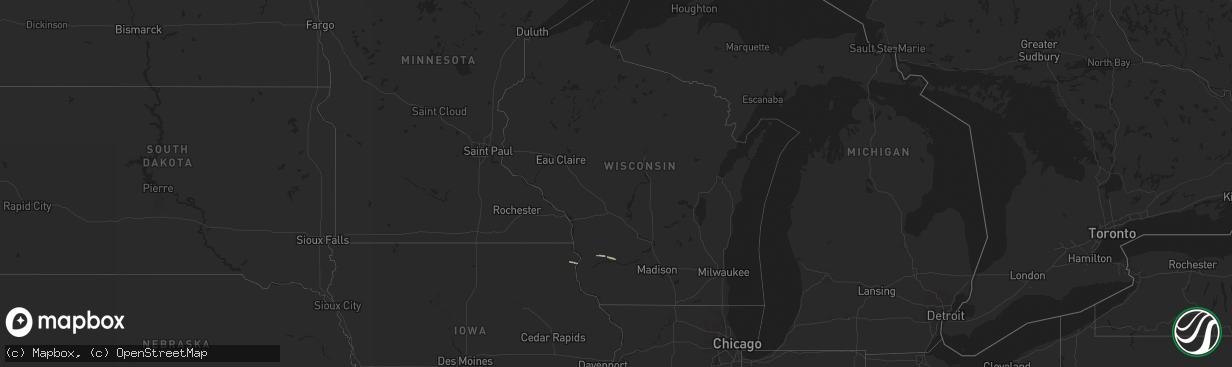
Hail Map in Wisconsin on May 14, 2013
The weather event in Wisconsin on May 14, 2013 includes Hail map. 3 states and 21 cities were impacted and suffered possible damage. The total estimated number of properties impacted is 0.
Want more than just the map?
Turn this storm into a full workflow.
- Owner + property data so you know who to knock
- OnDemand branded weather history reports to win the "did we even have hail?" argument
- RoofTrace estimate so reps stop guessing numbers at the door
Bought this map? Upgrade within 7 days and we'll credit the $230. (10-15 min setup call)
Hail
0
Estimated number of impacted properties by a 1.00" hail or larger0
Estimated number of impacted properties by a 1.75" hail or larger0
Estimated number of impacted properties by a 2.50" hail or largerStorm reports in Wisconsin
Wisconsin
| Date | Description |
|---|---|
| 05/13/20139:57 PM CDT | Tree down. |
| 05/13/20139:41 PM CDT | At intersection of howell and morgan avenues...6 inch to 8 inch diameter tree across the road. |
| 05/13/20139:30 PM CDT | Large branches down near 71st and becher street. Social media report. |
| 05/13/20139:20 PM CDT | Milwaukee fire department reported several tree fires...live wires down and trees down. Time estimated. House fire due to live wires on house. Relayed by tv media via s |
| 05/13/20139:00 PM CDT | Wires and trees down in the delafield...merton...and hartland areas. |
| 05/13/20138:57 PM CDT | 60 foot pine tree down. Time estimated. Relayed via social media. |
| 05/13/20138:55 PM CDT | Waukesha county sheriff reported trees and power lines down in hartland...merton and delafield areas. Relayed by tv media via social media. |
| 05/13/20138:40 PM CDT | Time estimated. Social media report. |
| 05/13/20138:20 PM CDT | Large barn blown down and 4 x 4 posts ripped out of the ground at w7769 island road. Report relayed by jefferson county sheriff at 1040 pm. |


