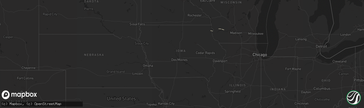
Hail Map in Iowa on May 14, 2013
The weather event in Iowa on May 14, 2013 includes Hail map. 3 states and 21 cities were impacted and suffered possible damage. The total estimated number of properties impacted is 0.
Want more than just the map?
Turn this storm into a full workflow.
- Owner + property data so you know who to knock
- OnDemand branded weather history reports to win the "did we even have hail?" argument
- RoofTrace estimate so reps stop guessing numbers at the door
Bought this map? Upgrade within 7 days and we'll credit the $230. (10-15 min setup call)
Hail
0
Estimated number of impacted properties by a 1.00" hail or larger0
Estimated number of impacted properties by a 1.75" hail or larger0
Estimated number of impacted properties by a 2.50" hail or largerStorm reports in Iowa
Iowa
| Date | Description |
|---|---|
| 05/14/20135:00 PM CDT | A local report indicates 64 MPH wind near CARROLL |
| 05/14/20134:55 PM CDT | The automated weather observing equipment at the charles city airport measured a 58 miles per hour wind gust |
| 05/14/20134:50 PM CDT | Clarion awos measured a gust to 51 knots. |
| 05/14/20134:50 PM CDT | Cerro gordo county dispatch relayed a public report of strong winds blowing shingles off a roof between interstate 35 and swaledale. |
| 05/14/20134:43 PM CDT | Trained spotter reported wind gusts estimated between 60 and 75 mph along with a large dust cloud near a thunderstorm. |


