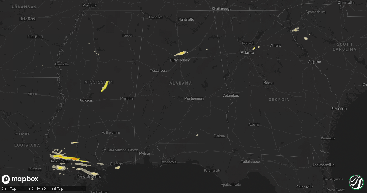
Hail Map in Alabama on May 12, 2017
Get this storm
May 12 map
$229
one time, instant access
Download today. No call, no setup
Keep the $229
Bought the map and want the full workflow? Apply the entire $229 to a subscription within 7 days. None of it is wasted.
Every map, not just this one
This buys you this map. Subscription and you get every map we run, in the markets you choose from a few cities to whole states to nationwide. Plus real-time alerts the moment a storm fires.
Contact data
Name, contact info, occupancy, even credit band for addresses in the footprint. You go from where it hit to who to call.
Become the source they trust
Unlimited branding weather history reports on demand. You already have the documented answer ready for the property owner, and you are the one who showed up with it.
Property data and RoofTrace estimates
Pull up any address you have got, its value and the exact code rules for that jurisdiction, straight from One Click Code. Then RoofTrace estimates the squares, pitch, and roof value, priced the way you price.
Storm reports in Alabama
Alabama
| Date | Description |
|---|---|
| 05/12/20173:55 PM CDT | A few downed trees and power lines in town. |
| 05/12/20171:46 PM CDT | Multiple trees down and a few fences down. Minor roof damage to some mobile home porches and awnings. |
| 05/12/20171:40 PM CDT | Several reports of trees down and sporadic outbuilding and roof damage near bay minette. Time estimated via radar. |
| 05/12/20171:05 PM CDT | Trees down on hwy 45 in kushla near kushla rd. Time estimated by radar. |
| 05/12/201712:54 PM CDT | Trees down with damage to roof of home. |
| 05/12/201712:05 PM CDT | Trees down blocking the roadway in the pine mountain area of remlap. Relayed through social media and time based on radar. |
| 05/12/201712:04 PM CDT | Large tree down in palmerdale. Report relayed through social media and time based on radar. |
| 05/12/201711:33 AM CDT | Tree down onto power lines along mount olive road. Estimated 40 mph winds. |
| 05/12/201711:27 AM CDT | Large limbs down and small hail covering portions of the ground in morris. Time based on radar... And report relayed through social media. |
All States Impacted by Hail Map on May 12, 2017
Cities Impacted by Hail Map on May 12, 2017
- Hingham, MT
- Fort Shaw, MT
- Jackson, LA
- Zachary, LA
- Gildford, MT
- Grayson, GA
- Lawrenceville, GA
- Rudyard, MT
- Inverness, MT
- Charleston, MS
- Carter, MT
- La Place, LA
- Chester, MT
- Holden, LA
- Greenwood, SC
- Saint Gabriel, LA
- Havre, MT
- Lakeland, LA
- Independence, LA
- Ponchatoula, LA
- Tickfaw, LA
- Baton Rouge, LA
- Baker, LA
- Port Allen, LA
- Livingston, LA
- Rougon, LA
- Erwinville, LA
- Denham Springs, LA
- Greenwell Springs, LA
- Albany, LA
- Hammond, LA
- Pride, LA
- Walker, LA
- Glynn, LA
- Lilburn, GA
- Stone Mountain, GA
- Norcross, GA
- Tucker, GA
- Prairieville, LA
- Gonzales, LA
- Geismar, LA
- White Castle, LA
- Sunshine, LA
- Plaquemine, LA
- Donaldsonville, LA
- Carville, LA
- Grenada, MS
- Anderson, SC
- Starr, SC
- Saint Francisville, LA
- Brady, MT
- Dutton, MT
- Carthage, MS
- Lena, MS
- Power, MT
- Madisonville, LA
- Gulfport, MS
- Ethel, LA
- Jarreau, LA
- Ventress, LA
- Slaughter, LA
- Oscar, LA
- Livonia, LA
- Abbeville, SC
- Kinston, AL
- Opp, AL
- Ledger, MT
- Pinson, AL
- Birmingham, AL
- Kimberly, AL
- Gardendale, AL
- Remlap, AL
- Mount Olive, AL
- Graysville, AL
- Morris, AL
- Snellville, GA
- Mandeville, LA
- Covington, LA
- Pearl River, LA
- Stennis Space Center, MS
- Bay Saint Louis, MS
- Fort Benton, MT
- Kosciusko, MS
- Maurepas, LA
- Belle Chasse, LA
- Braithwaite, LA
- New Orleans, LA
- Osyka, MS
- Iva, SC
- Saint Amant, LA
- Belle Rose, LA
- Belton, SC
- Clinton, LA
- Hamburg, AR
- Wellington, AL
- Jacksonville, AL
- Grosse Tete, LA
- Darrow, LA
- Ashville, AL
- Bradley, SC
- Magnolia, MS
- Kentwood, LA
- Liberty, MS
- Greensburg, LA
- Burnsville, MS
- Trussville, AL
- Springville, AL
- Pierre Part, LA
- Springfield, LA
- Walnut Grove, MS
- Bristol, TN


