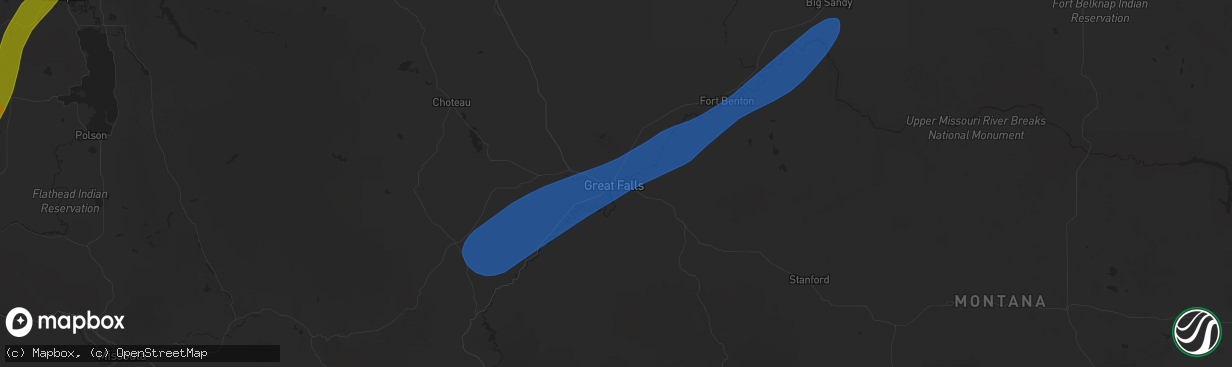
Hail Map in Great Falls, MT on May 11, 2025
The weather event in Great Falls, MT on May 11, 2025 includes Hail and Wind maps. 7 states and 48 cities were impacted and suffered possible damage. The total estimated number of properties impacted is 0.
Hail
Wind
0
Estimated number of impacted properties by a 1.00" hail or larger0
Estimated number of impacted properties by a 1.75" hail or larger0
Estimated number of impacted properties by a 2.50" hail or largerStorm reports in Great Falls, MT
Great Falls, MT
| Date | Description |
|---|---|
| 05/11/20254:20 PM CDT | Corrects previous non-tstm wnd dmg report from 2 sw great falls to tstm wnd dmg. Large conifer tree snapped and down on cherry dr in fox farm area. |
| 05/11/20254:07 PM CDT | 59 mph gust at ambient weather station. |
| 05/11/20254:06 PM CDT | 63 mph gust at ambient weather station. |
| 05/11/20254:05 PM CDT | 58 mph gust at ambiient weather station. |
| 05/11/20253:53 PM CDT | 68 mph gust measured at nws great falls. |
All Cities Impacted by Hail Map on May 11, 2025
- Myakka City, FL
- Bradenton, FL
- Parrish, FL
- American Falls, ID
- Wimauma, FL
- Pocatello, ID
- Mccammon, ID
- Inkom, ID
- Lawrence, MS
- Louin, MS
- Firth, ID
- Lake, MS
- Raleigh, MS
- Macon, MS
- Sallis, MS
- Brooksville, MS
- Jackson, AL
- Swan Valley, ID
- Butler, AL
- Sweet Water, AL
- Cascade, MT
- Wolf Creek, MT
- Augusta, MT
- Great Falls, MT
- Ulm, MT
- Sun River, MT
- Black Eagle, MT
- Floweree, MT
- Highwood, MT
- Fort Benton, MT
- Big Sandy, MT
- Loma, MT
- Forsyth, MT
- Indianola, MS
- Leland, MS
- Divide, CO
- Lame Deer, MT
- Kingston, ID
- Ismay, MT
- Trout Creek, MT
- Mirando City, TX
- Plains, MT
- Hot Springs, MT
- Lonepine, MT
- Marion, MT
- Kila, MT
- Kalispell, MT
- Columbia Falls, MT


