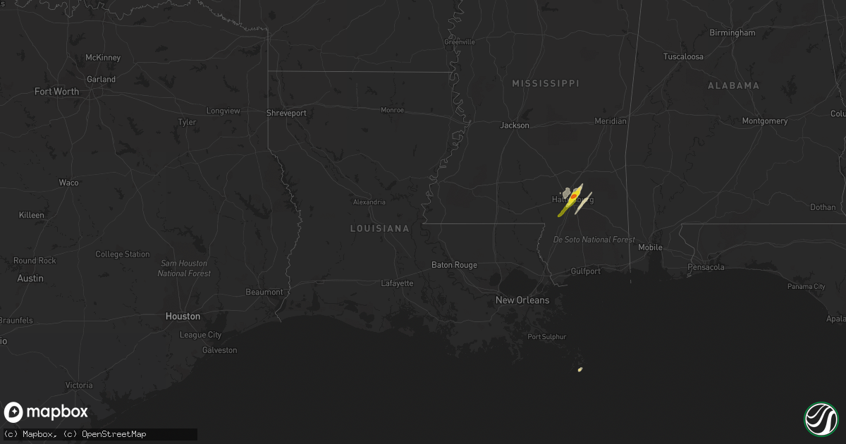
Hail Map in Louisiana on April 30, 2017
Get this storm
April 30 map
$229
one time, instant access
Download today. No call, no setup
Keep the $229
Bought the map and want the full workflow? Apply the entire $229 to a subscription within 7 days. None of it is wasted.
Every map, not just this one
This buys you this map. Subscription and you get every map we run, in the markets you choose from a few cities to whole states to nationwide. Plus real-time alerts the moment a storm fires.
Contact data
Name, contact info, occupancy, even credit band for addresses in the footprint. You go from where it hit to who to call.
Become the source they trust
Unlimited branding weather history reports on demand. You already have the documented answer ready for the property owner, and you are the one who showed up with it.
Property data and RoofTrace estimates
Pull up any address you have got, its value and the exact code rules for that jurisdiction, straight from One Click Code. Then RoofTrace estimates the squares, pitch, and roof value, priced the way you price.
Storm reports in Louisiana
Louisiana
| Date | Description |
|---|---|
| 04/30/201712:23 PM CDT | Social media images showed wind damage to church point high school baseball stadium. Damage inlcuded downed tree limb... Blown down fence structure...damaged field ligh |
| 04/30/201710:55 AM CDT | Utility pole blown down near airline dr and williams blvd |
| 04/30/20178:58 AM CDT | A few trees blown down near hwy 43 and 1045 |
| 04/30/20178:23 AM CDT | Numerous reports of downed trees and power lines. |
| 04/30/20178:23 AM CDT | Numerous reports of downed trees and power lines. |
| 04/30/20178:23 AM CDT | Numerous reports of downed trees and power lines. |
| 04/30/20178:00 AM CDT | Tree down in road in melville. |
| 04/30/20178:00 AM CDT | Scattered reports of trees and power lines down in port barre. |
| 04/30/20177:55 AM CDT | Minor damage consistent with winds of 70 mph. A few trees down. A simple framed car port was destroyed. Length 300 yards... Width 50 yards. Time estimated from radar. |
| 04/30/20177:40 AM CDT | Large tree reported down on campti bayou road. |
| 04/30/20177:38 AM CDT | Trees reported down parish wide in natchitoches parish... Tree down and power lines on hwy 494 past first church. |
| 04/30/20177:30 AM CDT | Scattered reports of downed tree branches and power line in iberia parish. |
| 04/30/20177:23 AM CDT | Reports of trees and power lines down in eunice. |
| 04/30/20177:20 AM CDT | An ef1 tornado snapped multiple trees and caused minor roof damage to a mobile home and a church in livonia. Path length 1 mile. Path width 50 yards. Estimated wind spe |
| 04/30/20177:16 AM CDT | Picture of tornado on the ground taken by law enforcement in vicksburg. Tornado debris signature also observed on radar. |
| 04/30/20177:15 AM CDT | Structural damage to a church... Possible tornado |
| 04/30/20177:14 AM CDT | This tornado began just south of interstate 20 in madison parish... Around delta. It snapped or uprooted numerous trees in this location as well as damaged a road sign |
All States Impacted by Hail Map on April 30, 2017
Cities Impacted by Hail Map on April 30, 2017
- Hattiesburg, MS
- Moselle, MS
- Seminary, MS
- New Augusta, MS
- Richton, MS
- Petal, MS
- Paw Paw, WV
- Bloomery, WV
- Augusta, WV
- Capon Bridge, WV
- Slanesville, WV
- Purvis, MS
- Ovett, MS
- Ellisville, MS
- Romney, WV
- Hollidaysburg, PA
- Williamsburg, PA
- Gore, VA
- Winchester, VA
- Delray, WV
- Shanks, WV
- Points, WV
- High View, WV
- Cross Junction, VA
- Yellow Spring, WV
- Altoona, PA
- Sumrall, MS
- Hedgesville, WV
- Gerrardstown, WV
- Glengary, WV
- Lumberton, MS
- Alexandria, PA
- Duncansville, PA
- Mill Creek, PA
- Petersburg, PA
- Huntingdon, PA


