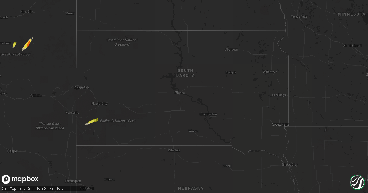
Hail Map in South Dakota on April 29, 2018
Get this storm
April 29 map
$229
one time, instant access
Download today. No call, no setup
Keep the $229
Bought the map and want the full workflow? Apply the entire $229 to a subscription within 7 days. None of it is wasted.
Every map, not just this one
This buys you this map. Subscription and you get every map we run, in the markets you choose from a few cities to whole states to nationwide. Plus real-time alerts the moment a storm fires.
Contact data
Name, contact info, occupancy, even credit band for addresses in the footprint. You go from where it hit to who to call.
Become the source they trust
Unlimited branding weather history reports on demand. You already have the documented answer ready for the property owner, and you are the one who showed up with it.
Property data and RoofTrace estimates
Pull up any address you have got, its value and the exact code rules for that jurisdiction, straight from One Click Code. Then RoofTrace estimates the squares, pitch, and roof value, priced the way you price.
Storm reports in South Dakota
South Dakota
| Date | Description |
|---|---|
| 04/29/20186:00 PM CDT | A local report indicates 1.00 inch wind near PRINGLE |
| 04/29/201812:30 AM CDT | At 530 PM MDT, a severe thunderstorm was located over southeastern Custer State Park, or 15 miles southeast of Custer, moving northeast at 30 mph. HAZARD...60 mph wind gusts and half dollar size hail. SOURCE...Radar indicated. IMPACT...Hail damage to vehicles is expected. Expect wind damage to roofs, siding, and trees. Locations impacted include... Hermosa, Buffalo Gap, Fairburn, Red Shirt, northeastern Wind Cave National Park, Red Shirt Table Overlook, Buffalo Corrals and southeastern Custer State Park. |
| 04/28/201811:47 PM CDT | At 446 PM MDT, a severe thunderstorm was located over Pringle, or 11 miles south of Custer, moving northeast at 20 mph. HAZARD...60 mph wind gusts and half dollar size hail. SOURCE...Radar indicated. IMPACT...Hail damage to vehicles is expected. Expect wind damage to roofs, siding, and trees. Locations impacted include... Custer, Pringle, Argyle, Wind Cave National Park, Stockade Lake, Legion Lake, Buffalo Corrals, State Game Lodge, Blue Bell, Center Lake, Custer State Park, Mount Coolidge and Black Hills Playhouse. |
All States Impacted by Hail Map on April 29, 2018
Cities Impacted by Hail Map on April 29, 2018
- Clovis, NM
- Fort Davis, TX
- Goodland, KS
- Johnson, KS
- Ulysses, KS
- Tatum, NM
- Texico, NM
- Farwell, TX
- Alpine, TX
- Amherst, TX
- Marathon, TX
- Earth, TX
- Muleshoe, TX
- Lame Deer, MT
- Ashland, MT
- Otter, MT
- Broadus, MT
- Volborg, MT
- Olive, MT
- Enochs, TX
- Bovina, TX
- Fieldton, TX
- Lakin, KS
- Fallon, MT
- Sudan, TX
- Broadview, NM
- Whiteface, TX
- Custer, SD
- Buffalo Gap, SD
- Tucumcari, NM
- Fairburn, SD
- Pringle, SD
- Hot Springs, SD
- Friona, TX
- Grady, NM
- Forsyth, MT


