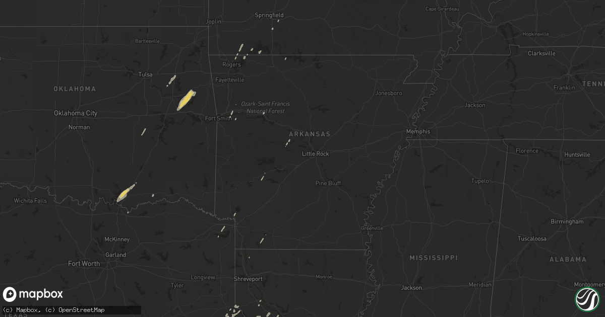
Hail Map on April 15, 2012
Get this storm
April 15 map
$229
one time, instant access
Download today. No call, no setup
Keep the $229
Bought the map and want the full workflow? Apply the entire $229 to a subscription within 7 days. None of it is wasted.
Every map, not just this one
This buys you this map. Subscription and you get every map we run, in the markets you choose from a few cities to whole states to nationwide. Plus real-time alerts the moment a storm fires.
Contact data
Name, contact info, occupancy, even credit band for addresses in the footprint. You go from where it hit to who to call.
Become the source they trust
Unlimited branding weather history reports on demand. You already have the documented answer ready for the property owner, and you are the one who showed up with it.
Property data and RoofTrace estimates
Pull up any address you have got, its value and the exact code rules for that jurisdiction, straight from One Click Code. Then RoofTrace estimates the squares, pitch, and roof value, priced the way you price.
States Impacted by Hail Map on April 15, 2012
Storm reports
Texas
| Date | Description |
|---|---|
| 04/15/20126:44 PM CDT | Spotter reported quarter sized hail in the town of fannin. |
| 04/15/20126:25 PM CDT | Spotter reported golf ball sized hail in goliad. |
| 04/15/20126:10 PM CDT | Ping pong ball sized hail reported off farm-to-market road 1726. |
| 04/15/20125:43 PM CDT | Golf ball sized hail reported off farm-to-market road 1726. |
| 04/15/20126:20 AM CDT | Nws storm survey concluded a tornado touched down in an open field south of highway 361 about two miles southeast of gregory. The tornado crossed highway 361 damaging a |
| 04/15/20125:50 AM CDT | Nws storm survey concluded a tornado touched down in a field south of highway 361 about a mile southeast of gregory. The tornado flipped over a fireworks stand and dama |
| 04/15/20125:44 AM CDT | Damage to cotton gin near gregory along with powerlines down. |
| 04/15/20125:44 AM CDT | Damage to cotton gin near gregory along with powerlines down. |
| 04/15/20125:39 AM CDT | Damage to homes on the north side of portland. Fences and tree limbs down. |
| 04/15/201212:54 AM CDT | Hail broke flood lights at the island italian restaurant on north padre island |
| 04/14/201210:04 PM CDT | Quarter size hail and 50 to 60 mph winds between falcon and lopeno. |
| 04/14/20129:10 PM CDT | Public report in morales-sanchez community of golf ball size hail. |
| 04/14/20128:41 PM CDT | Quarter sized hail reported by storm spotter. |
| 04/14/20128:29 PM CDT | Public near cruz calle reported quarter sized hail. |
| 04/14/20127:31 PM CDT | Stripes convenience store employee reported quarter sized hail at u.s. 59 and north laurent st. |
South Dakota
| Date | Description |
|---|---|
| 04/15/20124:56 PM CDT | Peak wind at sisseton asos 59mph |
| 04/15/20124:10 PM CDT | A local report indicates 1.00 inch wind near 4 NW BROOKINGS |
| 04/15/20123:30 PM CDT | A local report indicates 1.00 inch wind near 4 NW BROOKINGS |
| 04/15/20122:40 PM CDT | Rope tornado crossing the river |
| 04/15/201211:50 AM CDT | Mostly dime size but a few as big as quarters |
| 04/15/201211:28 AM CDT | Mostly nickel size but a few quarters |
| 04/15/201211:10 AM CDT | Mostly dime size but a few quarter size. |
Missouri
| Date | Description |
|---|---|
| 04/15/20126:05 PM CDT | Shed blown around and tree down over road on county road 2240. |
| 04/15/20126:05 PM CDT | A couple of trees down over roadway. |
| 04/15/20124:31 PM CDT | Large cedar tree was blown over onto highway c near intersection with highway cc. |
| 04/15/20124:15 PM CDT | A local report indicates 1.75 inch wind near 1 E LAURIE |
| 04/15/20124:11 PM CDT | A local report indicates 1.00 inch wind near HURRICANE DECK |
| 04/15/20121:53 PM CDT | A local report indicates 1.00 inch wind near CASSVILLE |
| 04/15/20121:50 PM CDT | A local report indicates 1.00 inch wind near 1 WSW CASSVILLE |
| 04/14/20127:52 PM CDT | Fire dispatch reports that a power line was blown over with storms. Time estimated with radar. |
| 04/14/20127:45 PM CDT | 12 inch diameter tree snapped off at its trunk in st. Charles. |
| 04/14/20127:39 PM CDT | At cave springs and mexico road. |
| 04/14/20127:34 PM CDT | Large tree limb blown down onto power lines. |
| 04/14/20127:33 PM CDT | A local report indicates 58 MPH wind near 3 W CHESTERFIELD |
Arkansas
| Date | Description |
|---|---|
| 04/15/20126:18 PM CDT | A power pole was snapped and some trees and power lines were blown down on river ridge road near salem. |
| 04/15/20126:11 PM CDT | Nws storm survey confirmed an ef 1 tornado. The tornado began 3.1 miles southeast of morganton and ended 4.1 miles east of morganton. Path length was 2.3 miles with a w |
| 04/15/20126:09 PM CDT | Trees were blown down onto power lines on arkansas 356. There is a possibility that this was a brief tornado. The time was approximated based on radar. |
| 04/15/201210:15 AM CDT | 2-3 inch tree limbs down. Time radar estimated. |
| 04/15/201210:08 AM CDT | Tree damage. Possible brief tornado touchdown. Time estimated by radar. |
| 04/15/201210:03 AM CDT | Large tree limbs down over north road and a large tree across a county road. Time is radar estimated. |
Illinois
| Date | Description |
|---|---|
| 04/15/20126:55 PM CDT | Several trees with tops ripped off...large machine shed and a couple of smaller sheds blown down...several trees and power lines blown down...damage is along illinois r |
| 04/15/20129:37 AM CDT | 2 aircraft damaged at the airport. Time estimated. No further details available at this time. |
| 04/15/201212:55 AM CDT | A local report indicates 61 MPH wind near ROBINSON |
| 04/14/201211:50 PM CDT | Late report of limbs down in fairfield. Part of one tree down on a garage. |
| 04/14/20128:05 PM CDT | Dispatch reports that a tree fell down in jerseyville. |
| 04/14/20127:55 PM CDT | Dispatch reports that a tree had to be removed from a road in elsah. |
Nebraska
| Date | Description |
|---|---|
| 04/15/20122:35 PM CDT | Rope tornado. Brief touchdown. |
| 04/15/20122:27 PM CDT | Brief touch down. No damage. |
| 04/15/20121:55 PM CDT | Reported weak funnel briefly made contact with the ground. |
| 04/15/20121:05 PM CDT | Tornado damage to two buildings including a wood frame building. The roof was torn off with parts scattered about in all directions. |
| 04/15/20121:05 PM CDT | Tornado damage to two buildings including a wood frame building. The roof was torn off with parts scattered about in all directions. |
Minnesota
| Date | Description |
|---|---|
| 04/15/20125:50 PM CDT | Hail on the northwest side of the city |
| 04/15/20125:32 PM CDT | Currently on the ground. |
| 04/15/20125:26 PM CDT | A local report indicates a tornado near 2 SW BROWNTON |
| 04/15/20124:11 PM CDT | Tornado on ground. Spotter 3 miles north of ghent looking north. |
| 04/15/20124:10 PM CDT | A local report indicates 1.00 inch wind near 2 N GHENT |
| 04/15/20123:28 PM CDT | Ground was white with hail up to the size of quarters. |
| 04/15/20123:05 PM CDT | Hail covered the ground. Most stones were marble size with a few quarter size. |
Oklahoma
| Date | Description |
|---|---|
| 04/15/20129:25 AM CDT | Tree and shed damage on east side of tenkiller lake off of carters landing rd. Possible tornado. Time estimated by radar. |
| 04/15/20129:20 AM CDT | Emergency manager flew track of tornado in southeast cherokee county with kotv...starting near carters landing and ending northeast of eldon a short distance. Path widt |
Kansas
| Date | Description |
|---|---|
| 04/15/20127:14 AM CDT | 8 inch tree snapped...roof off of building |
| 04/15/20127:00 AM CDT | Winds estimated at 50 to 60 miles per hour. |
Cities Impacted by Hail Map on April 15, 2012
- Minneota, MN
- Clarkfield, MN
- Portland, TX
- Gregory, TX
- Taft, TX
- Aransas Pass, TX
- Hector, MN
- Zapata, TX
- Refugio, TX
- Victoria, TX
- Goliad, TX
- Santa Elena, TX
- Rio Grande City, TX
- Roma, TX
- Buffalo, MN
- Montrose, MN
- Waverly, MN
- Hebbronville, TX
- Bayside, TX
- Inez, TX
- Tivoli, TX
- Woodsboro, TX
- Rockport, TX
- Ingleside, TX
- Kenedy, TX
- Corpus Christi, TX
- Edna, TX
- Dawson, MN
- Milwaukee, WI
- Guerra, TX
- Cassville, MO
- Golden, MO
- Shell Knob, MO
- Amity, AR
- Mitchell, SD
- Artesian, SD
- Letcher, SD
- Huntington, TX
- Porter, OK
- Coweta, OK
- Sunrise Beach, MO
- Camdenton, MO
- Gravois Mills, MO
- Lake Ozark, MO
- Groveton, TX
- Macks Creek, MO
- Osage Beach, MO
- Eldon, MO
- Buffalo, MO
- Roach, MO
- Barnett, MO
- Tunas, MO
- Russellville, MO
- Rocky Mount, MO
- Eldridge, MO
- Windyville, MO
- California, MO
- Mapleton, MN
- Lead Hill, AR
- Jamestown, MO
- Muskogee, OK
- Park Hill, OK
- Braggs, OK
- Gore, OK
- Tahlequah, OK
- Warner, OK
- Livingston, TX
- Hopkins, MN
- Premont, TX
- Concepcion, TX
- Tyler, MN
- Yoakum, TX
- Muskego, WI
- Hutchinson, MN
- Savoy, TX
- Bells, TX
- Calera, OK
- Durant, OK
- Caddo, OK
- Mead, OK
- Young America, MN
- New Germany, MN
- Lester Prairie, MN
- Plato, MN
- Minneapolis, MN
- Moscow, TX
- Corrigan, TX
- Brownton, MN
- Logansport, LA
- Joaquin, TX
- Glencoe, MN
- Pipestone, MN
- Tuscumbia, MO
- Kaiser, MO
- Jasper, TX
- Port O'Connor, TX
- Austwell, TX
- Winthrop, MN
- Gaylord, MN
- Good Thunder, MN
- Center, TX
- Brookings, SD
- Volga, SD
- Trinity, TX
- New Auburn, MN
- Colmesneil, TX
- Zavalla, TX
- Beeville, TX
- Winsted, MN
- Mayer, MN
- Howard Lake, MN
- Yorktown, TX
- Douglassville, TX
- Coushatta, LA
- Madisonville, TX
- San Augustine, TX
- Cartwright, OK
- Granite Falls, MN
- Maynard, MN
- Ruthton, MN
- Edgerton, MN
- Holland, MN
- Lake Benton, MN
- Jasper, MN
- Ashdown, AR
- Chouteau, OK
- Wagoner, OK
- Madison, SD
- Mulberry, AR
- Latham, MO
- Green Isle, MN
- Easton, MN
- Minnesota Lake, MN
- Shelbyville, TX
- Milam, TX
- Lynd, MN
- Ghent, MN
- Seligman, MO
- Garfield, AR
- Westhoff, TX
- Canova, SD
- Howard, SD
- Florien, LA
- Many, LA
- Lamar, AR
- Clarksville, AR
- Laredo, TX
- Charleston, AR
- Chester, TX
- Woodville, TX
- Russell, MN
- Lampe, MO
- Robeline, LA
- Natchitoches, LA
- Falfurrias, TX
- Baldwin, WI
- Woodville, WI
- Glenwood City, WI
- Brenham, TX
- Navasota, TX
- Somerville, TX
- Broaddus, TX
- Caney, OK
- Washburn, MO
- Lagrange, IN
- Lamar, OK
- Dustin, OK
- Ozark, MO
- Boswell, OK
- New Prague, MN
- Belle Plaine, MN
- Realitos, TX
- Winfred, SD
- Eureka Springs, AR
- Madison, MN
- Hemphill, TX
- Stamps, AR
- Taylor, AR
- Tilden, TX
- Marthaville, LA
- Waldo, AR
- Rogersville, MO
- Hooks, TX
- Maud, TX
- Newton, TX
- Chireno, TX
- Perryville, AR
- Zwolle, LA
- Noble, LA
- Belmont, LA
- Pleasant Hill, LA
- Cokato, MN
- Hales Corners, WI
- Welling, OK
- Fort Gibson, OK