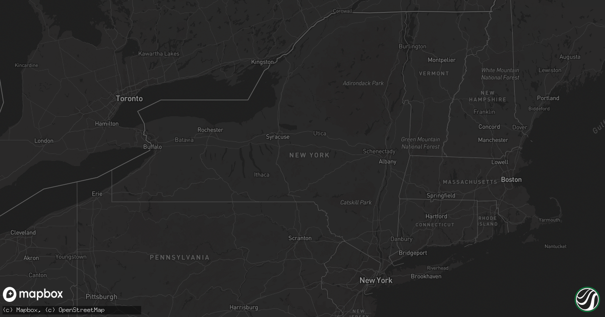
Hail Map in New York on April 9, 2019
Get this storm
April 9 map
$229
one time, instant access
Download today. No call, no setup
Keep the $229
Bought the map and want the full workflow? Apply the entire $229 to a subscription within 7 days. None of it is wasted.
Every map, not just this one
This buys you this map. Subscription and you get every map we run, in the markets you choose from a few cities to whole states to nationwide. Plus real-time alerts the moment a storm fires.
Contact data
Name, contact info, occupancy, even credit band for addresses in the footprint. You go from where it hit to who to call.
Become the source they trust
Unlimited branding weather history reports on demand. You already have the documented answer ready for the property owner, and you are the one who showed up with it.
Property data and RoofTrace estimates
Pull up any address you have got, its value and the exact code rules for that jurisdiction, straight from One Click Code. Then RoofTrace estimates the squares, pitch, and roof value, priced the way you price.
Storm reports in New York
New York
| Date | Description |
|---|---|
| 04/09/20191:42 PM CDT | Pine tree snapped on ruffner road |
| 04/09/20191:10 PM CDT | Tractor trailer blow over on i88 between exits 21 and 22. Emergency services were dispatched with no reports of injuries. |
| 04/08/20199:17 PM CDT | At 216 PM EDT, a severe thunderstorm was located over Central Bridge, or 9 miles northeast of Cobleskill, moving east at 50 mph. HAZARD...60 mph wind gusts and nickel size hail. SOURCE...Radar indicated. IMPACT...Expect damage to roofs, siding, and trees. Locations impacted include... Albany, Schenectady, Rotterdam, Scotia, Guilderland, Niskayuna, Duanesburg, Berne, Voorheesville, Altamont, Schoharie, Delanson, East Glenville, Alplaus, Central Bridge, New Scotland, Knox, Princetown, Carlisle and Esperance. |
All States Impacted by Hail Map on April 9, 2019
Cities Impacted by Hail Map on April 9, 2019
- Abbeville, GA
- Westminster, SC
- Eastanollee, GA
- Toccoa, GA
- Brooklet, GA
- Pembroke, GA
- Register, GA
- Claxton, GA
- Statesboro, GA
- Brevard, NC
- Geneva, FL
- Osteen, FL
- Oviedo, FL
- New Smyrna Beach, FL
- Ellabell, GA
- Covington, GA
- Forsyth, GA
- Monticello, GA
- Flovilla, GA
- Jackson, GA
- Dawsonville, GA
- Marble Hill, GA
- Howes Cave, NY
- Balsam Grove, NC
- Pisgah Forest, NC
- Commerce, GA
- Maysville, GA
- Homer, GA
- Guyton, GA
- Glenwood, GA
- Dahlonega, GA
- Ball Ground, GA
- Jasper, GA
- Esperance, NY
- Schoharie, NY
- Central Bridge, NY
- Suches, GA
- Lower Brule, SD
- Clarkesville, GA
- Talking Rock, GA
- Fort Stewart, GA
- Chauncey, GA
- Mansfield, GA
- Baldwin, GA
- Walhalla, SC
- Edgewater, FL


