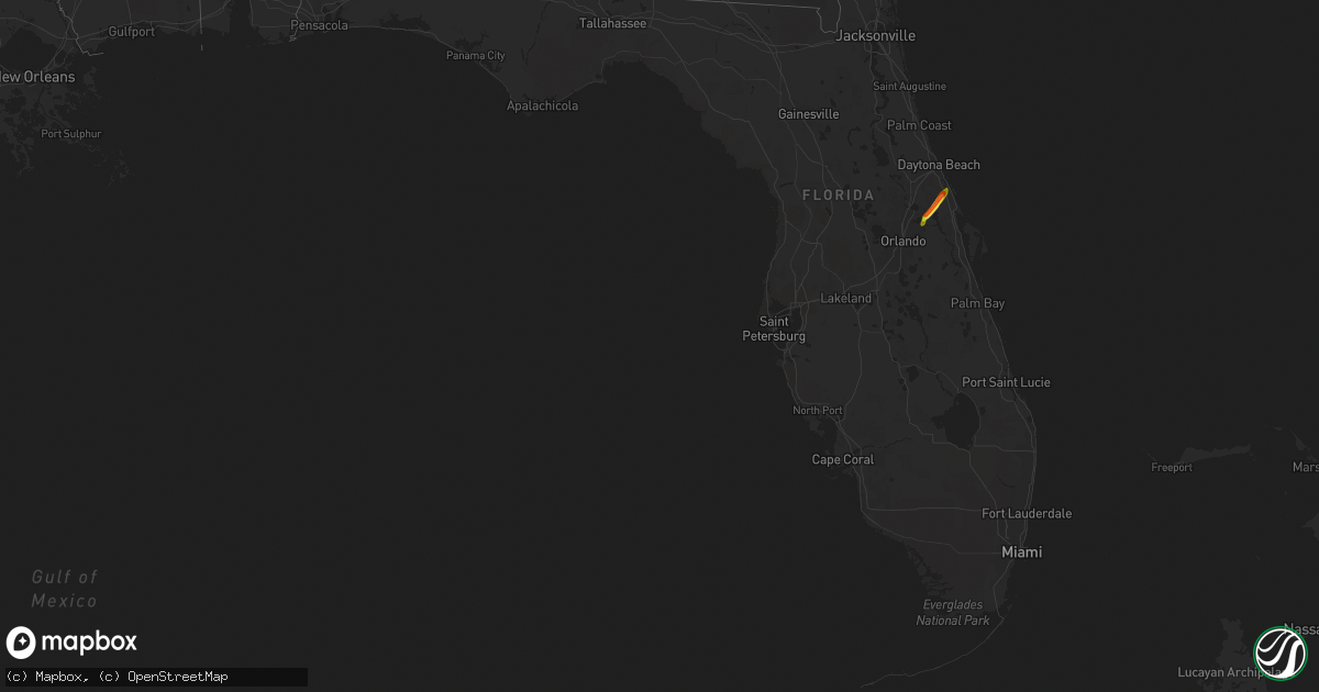
Hail Map in Florida on April 9, 2019
Get this storm
April 9 map
$229
one time, instant access
Download today. No call, no setup
Keep the $229
Bought the map and want the full workflow? Apply the entire $229 to a subscription within 7 days. None of it is wasted.
Every map, not just this one
This buys you this map. Subscription and you get every map we run, in the markets you choose from a few cities to whole states to nationwide. Plus real-time alerts the moment a storm fires.
Contact data
Name, contact info, occupancy, even credit band for addresses in the footprint. You go from where it hit to who to call.
Become the source they trust
Unlimited branding weather history reports on demand. You already have the documented answer ready for the property owner, and you are the one who showed up with it.
Property data and RoofTrace estimates
Pull up any address you have got, its value and the exact code rules for that jurisdiction, straight from One Click Code. Then RoofTrace estimates the squares, pitch, and roof value, priced the way you price.
Storm reports in Florida
Florida
| Date | Description |
|---|---|
| 04/09/20192:25 PM CDT | Numerous trees down in seminole co... From oviedo to near mullet lake. Cross streets include forest trail and s. Lake jesup... Graham ave and hillcrest dr.... Howard av |
| 04/09/20197:21 AM CDT | At 1220 PM EDT, a severe thunderstorm was located over Homestead General Airport, moving east at 25 mph. HAZARD...60 mph wind gusts. SOURCE...Radar indicated. IMPACT...Expect damage to roofs, siding, and trees. Locations impacted include... Homestead, Coral Gables, South Miami, Homestead Miami Speedway and Black Point. |
| 04/08/201911:00 PM CDT | At 359 PM EDT, a severe thunderstorm was located over mainly rural areas of Volusia County, moving northeast at 35 mph. HAZARD...60 mph wind gusts and nickel size hail. SOURCE...Radar indicated. IMPACT...Expect damage to roofs, siding, and trees. Locations impacted include... Port Orange, New Smyrna Beach, Edgewater, Oak Hill and Ponce Inlet. |
| 04/08/201910:33 PM CDT | At 333 PM EDT, a severe thunderstorm was located near Geneva, moving northeast at 30 mph. HAZARD...60 mph wind gusts and quarter size hail. SOURCE...Radar indicated. IMPACT...Hail damage to vehicles is expected. Expect wind damage to roofs, siding, and trees. Locations impacted include... Deltona, Sanford, Oviedo, New Smyrna Beach and Oak Hill. |
All States Impacted by Hail Map on April 9, 2019
Cities Impacted by Hail Map on April 9, 2019
- Abbeville, GA
- Westminster, SC
- Eastanollee, GA
- Toccoa, GA
- Brooklet, GA
- Pembroke, GA
- Register, GA
- Claxton, GA
- Statesboro, GA
- Brevard, NC
- Geneva, FL
- Osteen, FL
- Oviedo, FL
- New Smyrna Beach, FL
- Ellabell, GA
- Covington, GA
- Forsyth, GA
- Monticello, GA
- Flovilla, GA
- Jackson, GA
- Dawsonville, GA
- Marble Hill, GA
- Howes Cave, NY
- Balsam Grove, NC
- Pisgah Forest, NC
- Commerce, GA
- Maysville, GA
- Homer, GA
- Guyton, GA
- Glenwood, GA
- Dahlonega, GA
- Ball Ground, GA
- Jasper, GA
- Esperance, NY
- Schoharie, NY
- Central Bridge, NY
- Suches, GA
- Lower Brule, SD
- Clarkesville, GA
- Talking Rock, GA
- Fort Stewart, GA
- Chauncey, GA
- Mansfield, GA
- Baldwin, GA
- Walhalla, SC
- Edgewater, FL


