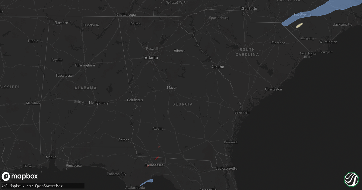
Hail Map in Georgia on April 7, 2025
Get this storm
April 7 map
$229
one time, instant access
Download today. No call, no setup
Keep the $229
Bought the map and want the full workflow? Apply the entire $229 to a subscription within 7 days. None of it is wasted.
Every map, not just this one
This buys you this map. Subscription and you get every map we run, in the markets you choose from a few cities to whole states to nationwide. Plus real-time alerts the moment a storm fires.
Contact data
Name, contact info, occupancy, even credit band for addresses in the footprint. You go from where it hit to who to call.
Become the source they trust
Unlimited branding weather history reports on demand. You already have the documented answer ready for the property owner, and you are the one who showed up with it.
Property data and RoofTrace estimates
Pull up any address you have got, its value and the exact code rules for that jurisdiction, straight from One Click Code. Then RoofTrace estimates the squares, pitch, and roof value, priced the way you price.
Storm reports in Georgia
Georgia
| Date | Description |
|---|---|
| 04/07/20256:48 PM CDT | Spotter reported multiple trees down along highway 17 between highway 84 and leroy coffer highway. |
| 04/07/20256:15 PM CDT | Pierce county 911/dispatch reports powerlines downed along u.s. Highway 84 in the vicinity of patterson. Time of damage based on radar data. |
| 04/07/20256:04 PM CDT | Ware county 911/dispatch reports a trees downed on camellia drive in the vicinity of waycross. Time of damage based on radar data. |
| 04/07/202512:45 PM CDT | Damage to outhouses... Trees... Portion of aluminum siding on house torn off... Rolled over outdoor sheds. Aluminum roofing partially pealed off roof. |
| 04/07/202510:30 AM CDT | Trees reported down... As well as damage to house and barn. |
| 04/07/202510:27 AM CDT | Near the intersection of lower meigs road and monroe jackson road... There were 2 homes with major damage... One other affected home... A couple of barns destroyed... A |
| 04/07/202510:16 AM CDT | Two trees blown down. There was a radar-indicated tornadic debris signature in the area... So this may have been associated with a tornado. |
| 04/07/202510:06 AM CDT | Grady county sheriffs facebook page shows a home destroyed and numerous pine trees snapped in the vicinity of new hope road and akridge road. There was a well-defined r |
| 04/07/202510:00 AM CDT | Trees reported down on akridge rd. |
| 04/07/20257:00 AM CDT | Trees reported down on jericho rd. |
All States Impacted by Hail Map on April 7, 2025
Cities Impacted by Hail Map on April 7, 2025
- Ochlocknee, GA
- Meigs, GA
- Tallahassee, FL
- Eastpoint, FL
- Carrabelle, FL
- Lanark Village, FL
- Sopchoppy, FL
- Panacea, FL
- Raeford, NC
- Parkton, NC
- Lumber Bridge, NC
- Hope Mills, NC
- Red Springs, NC
- Shannon, NC
- Fayetteville, NC
- Stedman, NC
- Autryville, NC
- Wade, NC
- Godwin, NC
- Roseboro, NC
- Salemburg, NC
- Maxton, NC
- Laurinburg, NC
- Wagram, NC
- Gibson, NC
- Laurel Hill, NC
- Clinton, NC
- Marston, NC
- Dunn, NC
- Newton Grove, NC
- Faison, NC
- Mount Olive, NC
- Dudley, NC
- Calypso, NC
- Warsaw, NC
- Turkey, NC
- Seven Springs, NC
- Deep Run, NC
- Albertson, NC
- Kinston, NC
- La Grange, NC
- Goldsboro, NC
- Snow Hill, NC
- Four Oaks, NC
- Pikeville, NC
- Stantonsburg, NC
- Walstonburg, NC
- Farmville, NC
- Greenville, NC
- Ayden, NC
- Hookerton, NC
- Grifton, NC
- Winterville, NC
- Stokes, NC
- Grimesland, NC
- Dover, NC
- Trenton, NC
- Cove City, NC
- Vanceboro, NC
- Washington, NC
- Ernul, NC
- New Bern, NC
- Chocowinity, NC
- Blounts Creek, NC
- Williamston, NC
- Jamesville, NC
- Belhaven, NC
- Plymouth, NC
- Aurora, NC
- Pantego, NC
- Pinetown, NC
- Edward, NC
- Bath, NC
- Scranton, NC
- Roper, NC
- Windsor, NC
- Creswell, NC
- Columbia, NC
- Pendleton, OR
- Echo, OR
- Lumberton, NC
- Saint Pauls, NC


