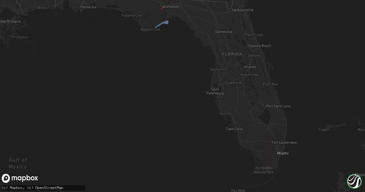
Hail Map in Florida on April 7, 2025
Get this storm
April 7 map
$229
one time, instant access
Download today. No call, no setup
Keep the $229
Bought the map and want the full workflow? Apply the entire $229 to a subscription within 7 days. None of it is wasted.
Every map, not just this one
This buys you this map. Subscription and you get every map we run, in the markets you choose from a few cities to whole states to nationwide. Plus real-time alerts the moment a storm fires.
Contact data
Name, contact info, occupancy, even credit band for addresses in the footprint. You go from where it hit to who to call.
Become the source they trust
Unlimited branding weather history reports on demand. You already have the documented answer ready for the property owner, and you are the one who showed up with it.
Property data and RoofTrace estimates
Pull up any address you have got, its value and the exact code rules for that jurisdiction, straight from One Click Code. Then RoofTrace estimates the squares, pitch, and roof value, priced the way you price.
Storm reports in Florida
Florida
| Date | Description |
|---|---|
| 04/07/20251:40 PM CDT | Hamilton county 911/dispatch reports a tree downed along northwest 22nd drive near jennings. Time of damage based on radar data. |
| 04/07/202511:48 AM CDT | The fwsn wakulla st marks lighthouse weatherstem station gusted to 60mph at 12:48pm edt. |
| 04/07/202511:24 AM CDT | Trees reported down on deer lake rd and buck point rd. |
| 04/07/202511:23 AM CDT | Pine trees snapped along the side of thomasville road... South of county road 12. Tops of trees thrown across highway. This was associated with a radar-indicated tornad |
| 04/07/202511:00 AM CDT | Ambient weather station reported a wind gust of 64 mph. |
| 04/06/20257:46 PM CDT | Nassau county 911/dispatch reports powerlines downed in the vicinity of fernandina beach. Time of damage based on radar data. |
| 04/06/20257:40 PM CDT | Nassau county dispatch/911 reports trees downed in the vicinity of yulee. Time of damage based on radar data. |
All States Impacted by Hail Map on April 7, 2025
Cities Impacted by Hail Map on April 7, 2025
- Ochlocknee, GA
- Meigs, GA
- Tallahassee, FL
- Eastpoint, FL
- Carrabelle, FL
- Lanark Village, FL
- Sopchoppy, FL
- Panacea, FL
- Raeford, NC
- Parkton, NC
- Lumber Bridge, NC
- Hope Mills, NC
- Red Springs, NC
- Shannon, NC
- Fayetteville, NC
- Stedman, NC
- Autryville, NC
- Wade, NC
- Godwin, NC
- Roseboro, NC
- Salemburg, NC
- Maxton, NC
- Laurinburg, NC
- Wagram, NC
- Gibson, NC
- Laurel Hill, NC
- Clinton, NC
- Marston, NC
- Dunn, NC
- Newton Grove, NC
- Faison, NC
- Mount Olive, NC
- Dudley, NC
- Calypso, NC
- Warsaw, NC
- Turkey, NC
- Seven Springs, NC
- Deep Run, NC
- Albertson, NC
- Kinston, NC
- La Grange, NC
- Goldsboro, NC
- Snow Hill, NC
- Four Oaks, NC
- Pikeville, NC
- Stantonsburg, NC
- Walstonburg, NC
- Farmville, NC
- Greenville, NC
- Ayden, NC
- Hookerton, NC
- Grifton, NC
- Winterville, NC
- Stokes, NC
- Grimesland, NC
- Dover, NC
- Trenton, NC
- Cove City, NC
- Vanceboro, NC
- Washington, NC
- Ernul, NC
- New Bern, NC
- Chocowinity, NC
- Blounts Creek, NC
- Williamston, NC
- Jamesville, NC
- Belhaven, NC
- Plymouth, NC
- Aurora, NC
- Pantego, NC
- Pinetown, NC
- Edward, NC
- Bath, NC
- Scranton, NC
- Roper, NC
- Windsor, NC
- Creswell, NC
- Columbia, NC
- Pendleton, OR
- Echo, OR
- Lumberton, NC
- Saint Pauls, NC


