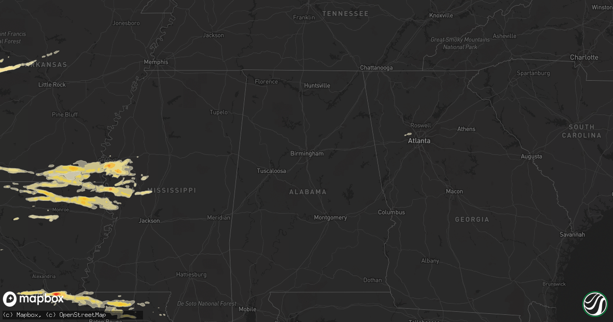
Hail Map in Louisiana on April 4, 2012
Get this storm
April 4 map
$229
one time, instant access
Download today. No call, no setup
Keep the $229
Bought the map and want the full workflow? Apply the entire $229 to a subscription within 7 days. None of it is wasted.
Every map, not just this one
This buys you this map. Subscription and you get every map we run, in the markets you choose from a few cities to whole states to nationwide. Plus real-time alerts the moment a storm fires.
Contact data
Name, contact info, occupancy, even credit band for addresses in the footprint. You go from where it hit to who to call.
Become the source they trust
Unlimited branding weather history reports on demand. You already have the documented answer ready for the property owner, and you are the one who showed up with it.
Property data and RoofTrace estimates
Pull up any address you have got, its value and the exact code rules for that jurisdiction, straight from One Click Code. Then RoofTrace estimates the squares, pitch, and roof value, priced the way you price.
Storm reports in Louisiana
Louisiana
| Date | Description |
|---|---|
| 04/04/20126:00 AM CDT | Reported by a farm to the west of epps |
| 04/04/20125:38 AM CDT | A local report indicates 1.00 inch wind near STERLINGTON |
| 04/04/20125:25 AM CDT | Reported by store on old monroe road |
| 04/04/20125:05 AM CDT | A local report indicates 1.00 inch wind near TICKFAW |
| 04/04/20124:52 AM CDT | Hail fell on the south side of farmerville on porter street the size of quarters to silver dollars. |
| 04/04/20124:15 AM CDT | Quarter to half dollar sized hail fell from amelia to gibson covering the ground in some locations. |
| 04/04/20124:11 AM CDT | Public reports via facebook quarter size hail near patterson |
| 04/04/20124:08 AM CDT | A local report indicates 1.75 inch wind near 5 S DARLINGTON |
| 04/04/20124:07 AM CDT | Public reports via facebook quarter size hail near morgan city. |
| 04/04/20124:00 AM CDT | Quarter to half dollar size hail fell from amelia to gibson covering the ground in several locations. |
| 04/04/20123:57 AM CDT | Public reports via facebook quarter size hail near amelia. Time estimated by radar |
| 04/04/20123:54 AM CDT | St mary sheriffs office reports quarter size hail near morgan city |
| 04/04/20123:11 AM CDT | Quarter to golf ball sized hail along hwy 585. |
| 04/04/20122:39 AM CDT | West feliciana sheriff on highway 61 just north of st. Francisville reported quarter sized hail. |
| 04/04/20122:30 AM CDT | A local report indicates 1.00 inch wind near 3 NW COLLINSTON |
| 04/04/20121:40 AM CDT | A local report indicates 1.00 inch wind near DUBACH |
| 04/04/20121:25 AM CDT | Klfy relays a public report of wind damage to the windows roof and porch of a house in bunkie. |
| 04/04/20121:24 AM CDT | Public reports via facebook golf ball size hail near cottonport. |
| 04/04/20121:18 AM CDT | Public reports via facebook golf ball size hail between bunkie and evergreen |
| 04/04/20121:15 AM CDT | Public reports quarter size hail near patterson |
| 04/04/20121:13 AM CDT | Bunkie fire department reports golf ball size hail near bunkie. |
| 04/04/20121:12 AM CDT | Public reports via facebook quarter size hail near bunkie. |
| 04/04/20121:06 AM CDT | Bunkie pd report baseball size hail near bunkie. Time estimated by radar |
| 04/04/20121:06 AM CDT | Up to baseball size hail fell in bunkie within a 2 mile wide area resulting in numerous business and vehicle windows broken. Winds estimated at 65 mph with gusts up to |
All States Impacted by Hail Map on April 4, 2012
Cities Impacted by Hail Map on April 4, 2012
- Montegut, LA
- Rolla, MO
- Edgar Springs, MO
- Salem, MO
- Bay City, TX
- Sweeny, TX
- Pitkin, LA
- Benton, MS
- Vaughan, MS
- Yazoo City, MS
- Ganado, TX
- Lolita, TX
- Boling, TX
- Van Vleck, TX
- Clute, TX
- Blessing, TX
- Lake Jackson, TX
- Danbury, TX
- Galveston, TX
- West Columbia, TX
- Midfield, TX
- Angleton, TX
- Pledger, TX
- Markham, TX
- El Campo, TX
- Freeport, TX
- Brazoria, TX
- Louise, TX
- Wharton, TX
- Palacios, TX
- Eros, LA
- Austwell, TX
- Tivoli, TX
- Missouri City, TX
- Golden Meadow, LA
- Bunkie, LA
- Evergreen, LA
- Cottonport, LA
- Greenville, MS
- Hollandale, MS
- Eudora, AR
- Leland, MS
- Inverness, MS
- Lake Village, AR
- Indianola, MS
- Pioneer, LA
- Oak Grove, LA
- Mayersville, MS
- Lake Providence, LA
- Jones, LA
- Holly Bluff, MS
- Cary, MS
- Rolling Fork, MS
- Smyrna, GA
- Austell, GA
- Marietta, GA
- Havana, AR
- Franklin, VA
- Hamburg, AR
- Crossett, AR
- Strong, AR
- Anguilla, MS
- Louise, MS
- Manvel, TX
- Norris City, IL
- Carmi, IL
- Liverpool, TX
- Alvin, TX
- Hitchcock, TX
- Santa Fe, TX
- Pearland, TX
- Morgan City, LA
- Downsville, LA
- Farmerville, LA
- Reidsville, NC
- Castor, LA
- West Monroe, LA
- Lebanon, MO
- Niangua, MO
- Grovespring, MO
- Friendswood, TX
- Rosharon, TX
- Batchelor, LA
- Spearsville, LA
- El Dorado, AR
- Isola, MS
- Wilmot, AR
- Bastrop, LA
- Parkdale, AR
- Marion, LA
- Belzoni, MS
- Hermitage, AR
- Huttig, AR
- Portland, AR
- Montrose, AR
- Quitman, AR
- Mount Vernon, AR
- Greenbrier, AR
- Enola, AR
- Paris, AR
- Omaha, TX
- Naples, TX
- Cookville, TX
- Quitman, LA
- Chatham, LA
- Choudrant, LA
- Ruston, LA
- Ola, AR
- Danville, AR
- Rover, AR
- Plainview, AR
- Walker, LA
- Madison, FL
- Angola, LA
- Saint Francisville, LA
- Cut Off, LA
- Galliano, LA
- Tallulah, LA
- Monroe, LA
- Transylvania, LA
- Delhi, LA
- Vicksburg, MS
- Valley Park, MS
- Silver City, MS
- Bonita, LA
- Sterlington, LA
- Haynesville, LA
- Dubach, LA
- Homer, LA
- Lillie, LA
- Sondheimer, LA
- Bernice, LA
- Rayville, LA
- Oak Ridge, LA
- Lisbon, LA
- Collinston, LA
- Epps, LA
- Redwood, MS
- Mer Rouge, LA
- Summerfield, LA
- Arcadia, LA
- Carrsville, VA
- Sedley, VA
- Suffolk, VA
- Tchula, MS
- Holden, LA
- Greensburg, LA
- Port Lavaca, TX
- Falcon, MO
- Laquey, MO
- Glenmora, LA
- Oakdale, LA
- Forest Hill, LA
- Pine Grove, LA
- Clinton, LA
- Magazine, AR
- Blue Mountain, AR
- Cheneyville, LA
- Saint Landry, LA
- Simmesport, LA
- Plaucheville, LA
- Ethel, LA
- Morrow, LA
- Lettsworth, LA
- Jackson, LA
- Slaughter, LA
- Greenwell Springs, LA
- Tickfaw, LA
- Zachary, LA
- Denham Springs, LA
- Independence, LA
- Hammond, LA
- Pride, LA
- Albany, LA
- Schriever, LA
- Patterson, LA
- Berwick, LA
- Gibson, LA
- Donner, LA
- Amite, LA
- Ventress, LA
- Ville Platte, LA
- Woodville, MS
- Melville, LA
- New Roads, LA
- Roseland, LA
- Fluker, LA
- Richmond, TX
- Sugar Land, TX
- Fresno, TX
- Morrilton, AR
- Perry, AR
- Adona, AR
- Magnolia, AR
- Emerson, AR
- Mount Vernon, TX
- Sulphur Bluff, TX
- Talco, TX
- Goshen, KY
- Conway, MO
- Bush, LA
- Windsor, VA
- Stuttgart, AR
- Osceola, MO
- Matagorda, TX
- Shongaloo, LA
- Casa, AR
- Taylor, AR
- Waldo, AR
- Stamps, AR
- Buckner, AR
- Houma, LA
- Bienville, LA
- Jamestown, LA
- Richland, MO
- Waynesville, MO
- Kentwood, LA
- Franklinton, LA
- Lesterville, MO
- Franklin, LA
- Thibodaux, LA
- Powder Springs, GA
- Mount Pleasant, TX
- Theriot, LA
- Calhoun, LA
- Dickinson, TX
- Marthaville, LA
- Itta Bena, MS
- Moorhead, MS
- Hamlin, WV
- Jersey, AR
- Bourg, LA
- Lockport, LA
- Pendleton, NC
- Conway, NC
- Briggsville, AR
- Dardanelle, AR
- Bluffton, AR
- Covington, LA
- Georgetown, KY
- Rockport, TX
- New Boston, TX
- Minneola, KS
- Belleville, AR
- Plumerville, AR
- Dike, TX
- Newburg, MO
- Bogalusa, LA
- Seadrift, TX


