Hail Map in Nebraska on March 18, 2012
Get this storm
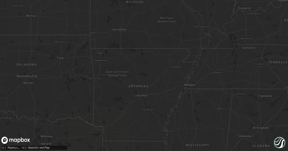
March 18 map
$229
one time, instant access
Download today. No call, no setup
Keep the $229
Bought the map and want the full workflow? Apply the entire $229 to a subscription within 7 days. None of it is wasted.
Every map, not just this one
This buys you this map. Subscription and you get every map we run, in the markets you choose from a few cities to whole states to nationwide. Plus real-time alerts the moment a storm fires.
Contact data
Name, contact info, occupancy, even credit band for addresses in the footprint. You go from where it hit to who to call.
Become the source they trust
Unlimited branding weather history reports on demand. You already have the documented answer ready for the property owner, and you are the one who showed up with it.
Property data and RoofTrace estimates
Pull up any address you have got, its value and the exact code rules for that jurisdiction, straight from One Click Code. Then RoofTrace estimates the squares, pitch, and roof value, priced the way you price.
Storm reports in Nebraska
Nebraska
| Date | Description |
|---|---|
| 03/17/201210:20 PM CDT | A local report indicates 2.75 inch wind near 7 N VALENTINE |
| 03/17/201210:19 PM CDT | Public reported a tornado lifting up and dropping down near highway 83 |
| 03/17/201210:06 PM CDT | A local report indicates 1.75 inch wind near 4 W VALENTINE |
| 03/17/20129:45 PM CDT | A local report indicates 1.00 inch wind near 2 W NORTH PLATTE |
| 03/17/20129:43 PM CDT | A tornado touched down approximately 5 miles south southeast of ringgold and traveled intermittently on the ground for four minutes to the north and northwest before di |
| 03/17/20129:42 PM CDT | A local report indicates 1.00 inch wind near 7 SW MERRITT RESERVOIR |
| 03/17/20129:39 PM CDT | Spotter reports tornado becoming more well defined. Location is approximate. |
| 03/17/20129:34 PM CDT | A 40x22 shed was destroyed. |
| 03/17/20129:30 PM CDT | Tornado on the ground with a cyclic lifting of the funnel. |
| 03/17/20129:22 PM CDT | Spotter reported that tornado has roped out but well defined wall cloud and funnel cloud still exists just north of north platte. |
| 03/17/20129:22 PM CDT | Law enforcement reported a tornado at buffalo and north river road in north platte. |
| 03/17/20129:20 PM CDT | Reported 15 train cars flipped over with extensive damage to private vehicles on the plot. |
| 03/17/20129:20 PM CDT | Spotter reported well defined tornado near bailey yard in north platte. |
| 03/17/20129:20 PM CDT | Trained spotters reported debris cloud and stove pipe tornado looking northwest toward bailey yard. |
| 03/17/20129:18 PM CDT | 2 houses damaged. Visual crossing bailey yards. |
| 03/17/20129:17 PM CDT | Public reports tornado on the ground 1 mile west of south miller school road |
| 03/17/20129:15 PM CDT | *** 1 inj *** house was significantly damaged near front street.occupant was initially trapped but has since been rescued. |
| 03/17/20129:12 PM CDT | Law enforcement reports large tornado on the ground near lake maloney. |
| 03/17/20129:10 PM CDT | Well defined tornado on the ground with multiple power flashes west of town. |
| 03/17/20128:59 PM CDT | A local report indicates 1.75 inch wind near 17 SW NORTH PLATTE |
| 03/17/20128:30 PM CDT | A local report indicates 1.00 inch wind near 7 N HAYES CENTER |
| 03/17/20128:19 PM CDT | A local report indicates 1.00 inch wind near 14 SW MULLEN |
| 03/17/20127:48 PM CDT | A local report indicates 1.75 inch wind near 25 N SARBEN |
| 03/17/20127:28 PM CDT | A local report indicates 1.75 inch wind near PAXTON |
| 03/17/20127:15 PM CDT | A local report indicates 1.75 inch wind near 5 N ELSIE |
All States Impacted by Hail Map on March 18, 2012
Cities Impacted by Hail Map on March 18, 2012
- North Platte, NE
- Dickens, NE
- Hershey, NE
- Lakeview, TX
- Erick, OK
- Plains, KS
- Meade, KS
- Hilliard, OH
- Mechanicsburg, OH
- Woodstock, OH
- Carter, OK
- Willow, OK
- Matador, TX
- Tarzan, TX
- Briscoe, TX
- Canadian, TX
- Lesage, WV
- Mankato, KS
- Esbon, KS
- Childress, TX
- Dodson, TX
- Hollis, OK
- Big Spring, TX
- Perryton, TX
- Mangum, OK
- Vinson, OK
- Gould, OK
- Cawker City, KS
- Stanton, TX
- South Solon, OH
- Jeffersonville, OH
- Fritch, TX
- Panhandle, TX
- Gardendale, TX
- Olton, TX
- Plainview, TX
- Hale Center, TX
- Lancaster, OH
- Amanda, OH
- Lamesa, TX
- Gail, TX
- Ackerly, TX
- Cedarville, OH
- Hayes Center, NE
- Logan, OH
- Glouster, OH
- Athens, OH
- Buchtel, OH
- Chauncey, OH
- The Plains, OH
- Nelsonville, OH
- Millfield, OH
- New Marshfield, OH
- Albany, OH
- Columbus, OH
- Ropesville, TX
- Meadow, TX
- Mission, SD
- Valentine, NE
- Alice, TX
- Seminole, TX
- Westerville, OH
- Quitaque, TX
- Clarendon, TX
- Lockney, TX
- Lorenzo, TX
- Floydada, TX
- Silverton, TX
- Oglesby, IL
- Leonore, IL
- Tonica, IL
- Garden City, TX
- Midland, TX
- Midkiff, TX
- Ralls, TX
- Slaton, TX
- Elsie, NE
- Paxton, NE
- Goldsmith, TX
- McCamey, TX
- Lenorah, TX
- Knott, TX
- Bremen, OH
- Odessa, TX
- Post, TX
- Stoutsville, OH
- Tahoka, TX
- Palestine, WV
- Sandyville, WV
- Stapleton, NE
- Tryon, NE
- Aspermont, TX
- Amarillo, TX
- Looneyville, WV
- Sutherland, NE
- Sugar Grove, OH
- Bloomingburg, OH
- Mount Sterling, OH
- Washington Court House, OH
- Ashville, OH
- Williamsport, OH
- Circleville, OH
- Rockbridge, OH
- Reydon, OK
- Fieldton, TX
- Wellington, TX
- Lubbock, TX
- Happy, TX
- Canyon, TX
- Littlefield, TX
- Snyder, TX
- Justiceburg, TX
- Seagraves, TX
- Canal Winchester, OH
- Groveport, OH
- Ottawa, IL
- Crowell, TX
- Brownfield, TX
- Odonnell, TX
- Orient, OH
- Commercial Point, OH
- Sayre, OK
- Turkey, TX
- Idalou, TX
- Lelia Lake, TX
- Hedley, TX
- Corning, OH
- Woodsfield, OH
- Andrews, TX
- Mclean, TX
- Amherst, TX
- Seymour, TX
- Chillicothe, TX
- Belleville, WV
- Wilson, TX
- Kermit, TX
- Wink, TX
- Carrizo Springs, TX
- Asherton, TX
- Galloway, OH
- Paducah, TX
- Crookston, NE
- Chandlersville, OH
- Stinnett, TX
- Roaring Springs, TX
- Hart, TX
- Crosbyton, TX
- Fluvanna, TX
- Foss, OK
- North Lewisburg, OH
- Mingo, OH
- Cable, OH
- Milford Center, OH
- Lockbourne, OH
- Carroll, OH
- Pickerington, OH
- Reynoldsburg, OH
- Dublin, OH
- Grove City, OH
- Amlin, OH
- Plain City, OH
- Old Glory, TX
- Levelland, TX
- Anton, TX
- Hamersville, OH
- Reedsville, OH
- Little Hocking, OH
- Cutler, OH
- Coolville, OH
- Washington, WV
- Abernathy, TX
- Shallowater, TX
- Xenia, OH
- Montezuma, KS
- Heath, OH
- Hebron, OH
- Wheeler, TX
- Turpin, OK
- Dickens, TX
- La Salle, IL
- Peru, IL
- West Jefferson, OH
- Mullen, NE
- Luray, KS
- Elk City, OK
- Ransom Canyon, TX
- Girard, TX
- Powell, OH
- Gandeeville, WV
- Walton, WV
- Chloe, WV
- Spencer, WV
- Marysville, OH
- Granite, OK
- Kress, TX
- Quanah, TX
- Monahans, TX
- Pyote, TX
- Springlake, TX
- Irwin, OH
- Urbana, OH
- Spur, TX
- Glen Elder, KS
- Jal, NM
- Denver City, TX
- Welch, TX
- Wallace, NE
- Streator, IL
- Grand Ridge, IL
- Lostant, IL
- Petersburg, TX
- Lewistown, OH
- London, OH
- Plains, TX
- Tokio, TX
- Elizabeth, WV
- Macfarlan, WV
- Spearman, TX
- Amesville, OH
- New Straitsville, OH
- Haydenville, OH
- Guysville, OH
- Stewart, OH
- Murray City, OH
- Mcadoo, TX
- Beloit, KS
- Elkview, WV
- Clendenin, WV
- New Albany, OH
- Pomeroy, OH
- Rutland, OH
- Dill City, OK
- Tulia, TX
- Loop, TX
- Long Bottom, OH
- Ravenswood, WV
- Portland, OH
- West Liberty, OH
- Alexandria, OH
- Pataskala, OH
- Lithopolis, OH
- Borger, TX
- McArthur, OH
- New Plymouth, OH
- Junction City, OH
- Baltimore, OH
- Left Hand, WV
- Amma, WV
- Bellefontaine, OH
- Cee Vee, TX
- Lebanon, OH
- Mason, OH
- Lower Salem, OH
- Clinton, OK


