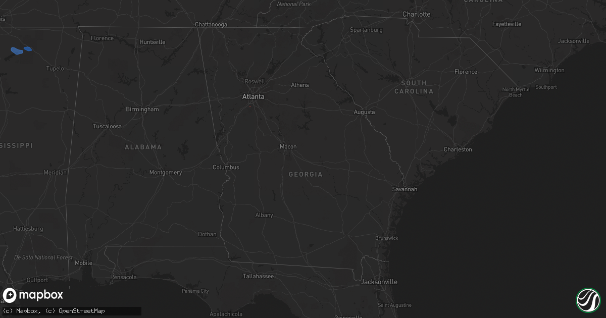
Hail Map in Georgia on February 28, 2021
Get this storm
February 28 map
$229
one time, instant access
Download today. No call, no setup
Keep the $229
Bought the map and want the full workflow? Apply the entire $229 to a subscription within 7 days. None of it is wasted.
Every map, not just this one
This buys you this map. Subscription and you get every map we run, in the markets you choose from a few cities to whole states to nationwide. Plus real-time alerts the moment a storm fires.
Contact data
Name, contact info, occupancy, even credit band for addresses in the footprint. You go from where it hit to who to call.
Become the source they trust
Unlimited branding weather history reports on demand. You already have the documented answer ready for the property owner, and you are the one who showed up with it.
Property data and RoofTrace estimates
Pull up any address you have got, its value and the exact code rules for that jurisdiction, straight from One Click Code. Then RoofTrace estimates the squares, pitch, and roof value, priced the way you price.
Storm reports in Georgia
Georgia
| Date | Description |
|---|---|
| 02/28/20215:06 AM CST | *** 1 fatal *** tree fell on man and truck outside home on lakeview dr. |
| 02/28/20215:05 AM CST | An ef1 tornado with max winds 90mph briefly touched down in clayton county. Damage was first surveyed along bethsaida rd near the intersection of lakefield forrest dr w |
| 02/28/20215:00 AM CST | Multiple large trees blown down along bethaven road...some trees down on houses. |
| 02/28/20214:20 AM CST | Several trees downed along wayne meadows ct. |
| 02/28/20214:20 AM CST | Several pine trees were snapped or uprooted in the wyckford subdivision. |
| 02/28/20214:13 AM CST | Strong winds destroyed a fence and snapped a few tree limbs near the intersection of wayne meadows ct and bramlett meadows dr. Some debris from the fence did damage ano |
All States Impacted by Hail Map on February 28, 2021
Cities Impacted by Hail Map on February 28, 2021
- Justin, TX
- Ponder, TX
- Tyronza, AR
- Turrell, AR
- Earle, AR
- Cherry Valley, AR
- Franklin, KY
- Portland, TN
- Sherman, TX
- Denison, TX
- Cartwright, OK
- Sadler, TX
- Pottsboro, TX
- Colbert, OK
- Pilot Point, TX
- Aubrey, TX
- Sawyer, OK
- Fort Towson, OK
- Westmoreland, TN
- Lebanon, TN
- Mount Juliet, TN
- Hendersonville, TN
- Whites Creek, TN
- Old Hickory, TN
- Goodlettsville, TN
- Gallatin, TN
- Nashville, TN
- Madison, TN
- Bennington, OK
- Boswell, OK
- Bokchito, OK
- Quitman, AR
- Wynne, AR
- Gilmore, AR
- Hickory Ridge, AR
- Marked Tree, AR
- Merkel, TX
- Tuscola, TX
- Greenbrier, TN
- White House, TN
- Whitesboro, TX
- Durant, OK
- Hendrix, OK
- Calera, OK
- Atoka, OK
- Story, AR
- Rosston, TX
- Muenster, TX
- Decatur, TX
- Era, TX
- Gainesville, TX
- Hugo, OK
- Cottontown, TN
- Bethpage, TN
- Chapmansboro, TN
- Cedar Hill, TN
- Ashland City, TN
- Pleasant View, TN
- Clarksville, TN
- Rhome, TX
- Fountain Run, KY
- Joelton, TN
- Leola, AR
- Malvern, AR
- Valley View, TX
- Adolphus, KY
- White Bluff, TN
- Scottsville, KY
- Springfield, TN
- Charlotte, TN
- Hermitage, TN
- Cross Plains, TN
- Southside, TN
- Tompkinsville, KY
- Mount Hermon, KY
- Parkin, AR
- Dyersburg, TN
- Red Boiling Springs, TN
- Lewisville, AR
- Riverdale, GA
- Oakland, KY
- Woodburn, KY
- Alvaton, KY
- Rockfield, KY
- Auburn, KY
- Glasgow, KY
- Bowling Green, KY
- Park City, KY
- Smiths Grove, KY
- Gamaliel, KY
- Holland, KY
- Monticello, KY
- Albany, KY
- Alpha, KY
- Burkesville, KY
- Krum, TX
- Grant, OK
- Valliant, OK
- Garvin, OK
- Potts Camp, MS
- Waterford, MS
- Abbeville, MS
- Holly Springs, MS
- Hickory Flat, MS
- Waverly, TN
- Hurricane Mills, TN
- Dickson, TN
- McEwen, TN
- Lafayette, TN
- Jamestown, KY
- Searcy, AR
- Griffithville, AR
- Augusta, AR
- Romance, AR
- Mount Vernon, AR
- Okolona, AR
- Gurdon, AR
- Delight, AR
- Arkadelphia, AR
- McCaskill, AR


