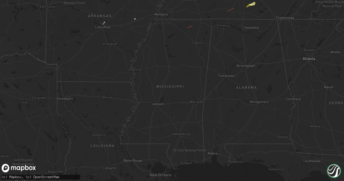
Hail Map in Mississippi on February 16, 2023
Get this storm
February 16 map
$229
one time, instant access
Download today. No call, no setup
Keep the $229
Bought the map and want the full workflow? Apply the entire $229 to a subscription within 7 days. None of it is wasted.
Every map, not just this one
This buys you this map. Subscription and you get every map we run, in the markets you choose from a few cities to whole states to nationwide. Plus real-time alerts the moment a storm fires.
Contact data
Name, contact info, occupancy, even credit band for addresses in the footprint. You go from where it hit to who to call.
Become the source they trust
Unlimited branding weather history reports on demand. You already have the documented answer ready for the property owner, and you are the one who showed up with it.
Property data and RoofTrace estimates
Pull up any address you have got, its value and the exact code rules for that jurisdiction, straight from One Click Code. Then RoofTrace estimates the squares, pitch, and roof value, priced the way you price.
Storm reports in Mississippi
Mississippi
| Date | Description |
|---|---|
| 02/16/20234:00 PM CST | Hwy 25s tree damage on itawamba/monroe county line. |
| 02/16/20233:52 PM CST | Trained spotter reported tornado west of smithville. Radar debris signature also present. |
| 02/16/20232:26 PM CST | Powerlines down and tin debris scattered across bassfield cemetery road. Possible tornado. |
| 02/16/20231:40 PM CST | Damage to a few businesses on north side of ripley. |
| 02/16/20231:40 PM CST | Trees and powerlines down near highway 15 between faulkner and ripley. Possible tornado. |
| 02/16/20231:27 PM CST | Radar confirmed tornado by tds. |
| 02/16/202312:47 PM CST | Several trees and large branches knocked down near the highway 72 and curtis road intersection. |
| 02/16/202311:16 AM CST | Mobile home flipped and two other homes damaged from likely tornado...reported by lincoln county em. |
All States Impacted by Hail Map on February 16, 2023
Cities Impacted by Hail Map on February 16, 2023
- Wheatley, AR
- North Little Rock, AR
- Sherwood, AR
- Widener, AR
- Marianna, AR
- Forrest City, AR
- Princeton, KY
- Dawson Springs, KY
- Mize, MS
- Waverly, TN
- Hurricane Mills, TN
- Ripley, MS
- McEwen, TN
- Dickson, TN
- Lawrenceburg, TN
- Ethridge, TN
- Erin, TN
- Holladay, TN
- College Grove, TN
- Arrington, TN
- Rockvale, TN
- Murfreesboro, TN
- Smyrna, TN
- Lewisburg, TN
- Belfast, TN
- Shelbyville, TN
- Sparta, TN
- Eagleville, TN
- Thompsons Station, TN
- Petersburg, TN


