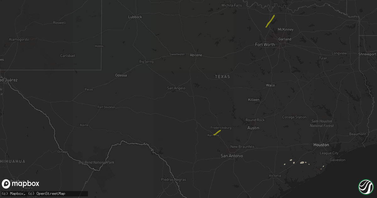
Hail Map in Texas on February 14, 2017
Get this storm
February 14 map
$229
one time, instant access
Download today. No call, no setup
Keep the $229
Bought the map and want the full workflow? Apply the entire $229 to a subscription within 7 days. None of it is wasted.
Every map, not just this one
This buys you this map. Subscription and you get every map we run, in the markets you choose from a few cities to whole states to nationwide. Plus real-time alerts the moment a storm fires.
Contact data
Name, contact info, occupancy, even credit band for addresses in the footprint. You go from where it hit to who to call.
Become the source they trust
Unlimited branding weather history reports on demand. You already have the documented answer ready for the property owner, and you are the one who showed up with it.
Property data and RoofTrace estimates
Pull up any address you have got, its value and the exact code rules for that jurisdiction, straight from One Click Code. Then RoofTrace estimates the squares, pitch, and roof value, priced the way you price.
Storm reports in Texas
Texas
| Date | Description |
|---|---|
| 02/14/201711:00 AM CST | Power poles snapped at crenshaw elementary school on bolivar peninsula. |
| 02/14/201710:50 AM CST | Six power poles blown down on the bolivar peninsula near helen blvd and highway 87. |
| 02/14/20179:57 AM CST | Large tree down at 21st street... Tree on house at 24th and i st in santa fe. |
| 02/14/20179:50 AM CST | 6 power poles blown down on the bolivar peninsula. Helen blvd at highway 87 |
| 02/14/20179:29 AM CST | Wind gust observed at san bernard nwr |
| 02/14/20178:55 AM CST | Fences blown down around 3700 bellare blvd |
| 02/14/20178:45 AM CST | Nws damage survey investigated roof damage to 40 homes in the brightwater subdivision of missouri city and found ef-0 damage with peak winds estimated at 80 mph. |
| 02/14/20178:45 AM CST | Large limbs and medal awning down near fm524 in sweeny. |
| 02/14/20178:45 AM CST | Large limbs and metal awning down near fm 524 in sweeny. Picture of tornado on nws hgx facebook page. |
| 02/14/20178:40 AM CST | Ef-0 from 840 am to 845 am. Estimated peak wind 75 mph. Path length approximately 1.5 miles and path width approximately 150 yards from along county road 321 to near th |
| 02/14/20178:39 AM CST | Ef-0 tornado blew off several roofs from homes and businesses from murphy rd to greenbrier rd in stafford. |
| 02/14/20178:38 AM CST | Ef-0 from 838 am to 841 am. Estimated peak wind 80 mph. Path length approximately 0.76 miles and path width approximately 100 yards in missouri city. |
| 02/14/20178:34 AM CST | Ef-0 from 834 am to 836 am. Estimated peak wind 80 mph. Path length approximately 0.4 miles and path width approximately 200 yards in stafford. |
| 02/14/20178:27 AM CST | Ef-0 from 827 am to 830 am. Estimated peak wind 80 mph. Path length approximately 0.6 miles and path width approximately 30 yards from 5 miles southeast of richmond to |
| 02/14/20178:25 AM CST | Tree... Fence... Structural damage in tara subdivision... Bridlewood estates and greatwood. Confirmed ef2 tornado damage in bridlewood estates. |
| 02/14/20178:21 AM CST | Ef-2 from 821 am to 825 am. Estimated peak wind 115 mph. Path length approximately 0.7 miles and path width approximately 300 yards from 4 miles southeast of richmond t |
| 02/14/20178:20 AM CST | *** 6 inj *** ef1 tornado. Trees damage... Rvs flipped over... Damage to multiple homes in van vleck. Damage path about 1 mile long. 6 minor injuries. None serious. |
| 02/14/20178:15 AM CST | *** 6 inj *** ef-1 from 815 am to 820 am. Estimated peak wind 100 mph. Path length approximately 1.7 miles and path width approximately 300 yards in van vleck. |
| 02/14/20178:13 AM CST | Trained spotter reports brief tornado touchdown ssw of rosenburg |
| 02/14/20178:00 AM CST | Debris at business 59 at e boling hwy in wharton. Nws storm survey determined ef-0 damage mixed with microburst winds. |
| 02/14/20178:00 AM CST | Trees downed in town |
| 02/14/20178:00 AM CST | Public reports debris at business 59 at e boling hwy in wharton |
| 02/14/20177:52 AM CST | House on jacoby lane with front porch and roof damage reported |
| 02/14/20177:40 AM CST | Ef-0 from 740 am to 745 am. Estimated peak wind 75 mph. Path length approximately 1 mile and path width approximately 200 yards from near north richmond road to county |
| 02/14/20177:35 AM CST | Trained spotter reports power lines down on w norris at w loop in el campo |


