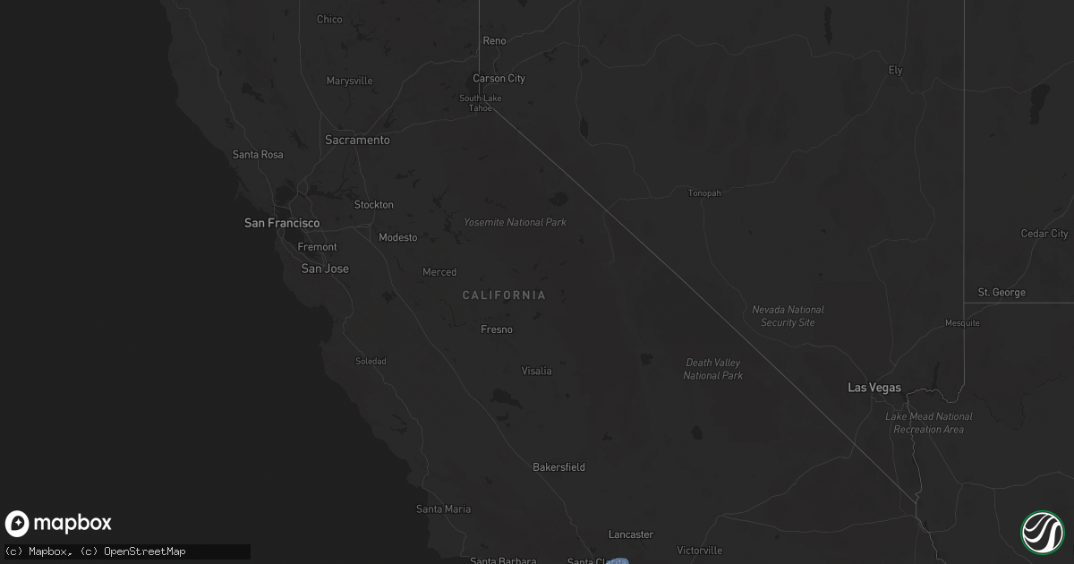
Hail Map in California on February 13, 2025
Get this storm
February 13 map
$229
one time, instant access
Download today. No call, no setup
Keep the $229
Bought the map and want the full workflow? Apply the entire $229 to a subscription within 7 days. None of it is wasted.
Every map, not just this one
This buys you this map. Subscription and you get every map we run, in the markets you choose from a few cities to whole states to nationwide. Plus real-time alerts the moment a storm fires.
Contact data
Name, contact info, occupancy, even credit band for addresses in the footprint. You go from where it hit to who to call.
Become the source they trust
Unlimited branding weather history reports on demand. You already have the documented answer ready for the property owner, and you are the one who showed up with it.
Property data and RoofTrace estimates
Pull up any address you have got, its value and the exact code rules for that jurisdiction, straight from One Click Code. Then RoofTrace estimates the squares, pitch, and roof value, priced the way you price.
Storm reports in California
California
| Date | Description |
|---|---|
| 02/13/20255:40 PM CST | Mesonet station 469se dough flat trailhead |
| 02/13/20255:40 PM CST | Mesonet station se227 las posas hills 2 |
| 02/13/20255:40 PM CST | Mesonet station 546se mesa vincent 2. |
| 02/13/20255:30 PM CST | Mesonet station lokc1 lockwood valley alert. |
| 02/13/20255:30 PM CST | Mesonet station 065se pinon hills-jubilee and panorama. |
| 02/13/20255:30 PM CST | Mobile home park with many powerlines downed... Damage to a dozen structures... Including awnings and carports... Some mobile home roofs torn off. Possible tornado. |
| 02/13/20255:20 PM CST | Mesonet station se678 magic mtn truck trl |
| 02/13/20255:10 PM CST | Mesonet station se079 oat mountain |
| 02/13/20255:10 PM CST | Mesonet station 756se sce rough road. |
| 02/13/20255:10 PM CST | Mesonet station 688se sombrero rd |
| 02/13/20255:00 PM CST | Mesonet station se285 calle aqueducto |
| 02/13/20255:00 PM CST | Mesonet station se619 city ranch rd north |
| 02/13/20257:16 AM CST | Tree blocking westbound state route 68 at skyline forest drive. |
| 02/12/20257:09 PM CST | Large tree branch blocking lanes of the 110 near skid row... With earlier squall line passage. |


