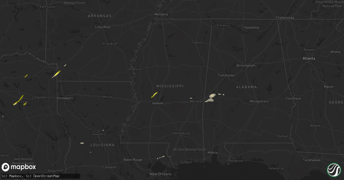
Hail Map in Mississippi on February 6, 2018
Get this storm
February 6 map
$229
one time, instant access
Download today. No call, no setup
Keep the $229
Bought the map and want the full workflow? Apply the entire $229 to a subscription within 7 days. None of it is wasted.
Every map, not just this one
This buys you this map. Subscription and you get every map we run, in the markets you choose from a few cities to whole states to nationwide. Plus real-time alerts the moment a storm fires.
Contact data
Name, contact info, occupancy, even credit band for addresses in the footprint. You go from where it hit to who to call.
Become the source they trust
Unlimited branding weather history reports on demand. You already have the documented answer ready for the property owner, and you are the one who showed up with it.
Property data and RoofTrace estimates
Pull up any address you have got, its value and the exact code rules for that jurisdiction, straight from One Click Code. Then RoofTrace estimates the squares, pitch, and roof value, priced the way you price.
Storm reports in Mississippi
Mississippi
| Date | Description |
|---|---|
| 02/06/20185:37 AM CST | At 1137 PM CST, a severe thunderstorm was located over Flora, or 14 miles northwest of Madison, moving northeast at 50 mph. HAZARD...60 mph wind gusts and half dollar size hail. SOURCE...Radar indicated. IMPACT...Hail damage to vehicles is expected. Expect wind damage to roofs, siding, and trees. This severe thunderstorm will be near... Myrleville around 1150 PM CST. Way around 1205 AM CST. Other locations impacted by this severe thunderstorm includeBentonia. |
| 02/06/20184:36 AM CST | Roof damage to a restaurant. |
| 02/06/20184:25 AM CST | Trees and power lines down. |
| 02/06/20184:20 AM CST | Em reports tree down on a house cedar street in suqualena area. |
| 02/06/20184:15 AM CST | Nws storm survey team found damage consistent with an ef-1 tornado. This tornado was on the ground for 7.97 miles with peak winds of 110 mph and max width of 240 yards. |
| 02/06/20181:55 AM CST | Tree fell on a home along brooksville rd near truman weeks rd. |
| 02/06/20181:36 AM CST | Tree down at intersection of center road and highway 19...reported by attala so. |
| 02/06/20181:35 AM CST | A tree fell on and destroyed a pickup truck...reported by attala so. |
| 02/06/20181:05 AM CST | Reports of trees down on truitt rd in madison county. |
All States Impacted by Hail Map on February 6, 2018
Cities Impacted by Hail Map on February 6, 2018
- Pitkin, LA
- Covington, TN
- Tyler, TX
- Collinsville, MS
- Chunky, MS
- Little Rock, MS
- Pineville, LA
- Flora, MS
- Texarkana, AR
- Fulton, AR
- Hope, AR
- Picayune, MS
- Queen City, TX
- Covington, LA
- Abita Springs, LA
- Canton, MS
- Gallion, AL
- Greensboro, AL
- Waco, TX
- Elm Mott, TX
- Murchison, TX
- Brownsboro, TX
- Athens, TX
- Atlanta, TX
- Forkland, AL
- Mount Vernon, TX
- Flatonia, TX
- Waelder, TX
- Livingston, AL
- Fairfield, TX
- York, AL
- Birmingham, AL
- Helena, AL
- Boligee, AL
- Cuba, AL
- Bellamy, AL
- Ward, AL
- Luling, TX
- Oberlin, LA
- Camden, AR
- Louann, AR
- Bolton, MS
- Whitehouse, TX
- Flint, TX
- Axtell, TX
- Fouke, AR
- Ben Wheeler, TX
- Chandler, TX
- Lindale, TX


