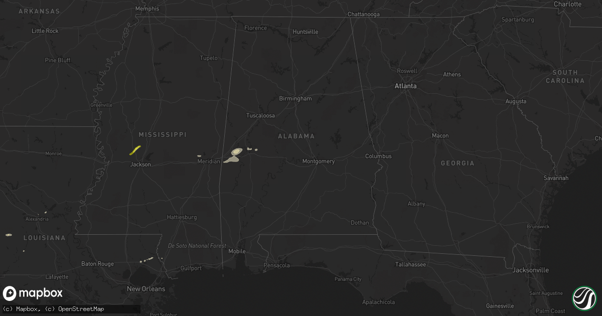
Hail Map in Alabama on February 6, 2018
Get this storm
February 6 map
$229
one time, instant access
Download today. No call, no setup
Keep the $229
Bought the map and want the full workflow? Apply the entire $229 to a subscription within 7 days. None of it is wasted.
Every map, not just this one
This buys you this map. Subscription and you get every map we run, in the markets you choose from a few cities to whole states to nationwide. Plus real-time alerts the moment a storm fires.
Contact data
Name, contact info, occupancy, even credit band for addresses in the footprint. You go from where it hit to who to call.
Become the source they trust
Unlimited branding weather history reports on demand. You already have the documented answer ready for the property owner, and you are the one who showed up with it.
Property data and RoofTrace estimates
Pull up any address you have got, its value and the exact code rules for that jurisdiction, straight from One Click Code. Then RoofTrace estimates the squares, pitch, and roof value, priced the way you price.
Storm reports in Alabama
Alabama
| Date | Description |
|---|---|
| 02/06/20185:57 AM CST | Nws meteorologists surveyed damage near the hale and marengo county line and determined that the damage was consistent with an ef0 tornado. This tornado began in mareng |
| 02/06/20185:53 AM CST | Trees down near highway 139 and shady grove rd via facebook. |
| 02/06/20185:51 AM CST | Nws meteorologists surveyed damage in southeast bibb county and determined that the damage was consistent with an ef0 tornado. A tornado touched down just to the west o |
| 02/06/20185:45 AM CST | Damage to a barn and a mobile home along with some timber damage from photos submitted by a tv station viewer. Location approximate. Time estimated by radar. |
| 02/06/20185:44 AM CST | Nws meteorologists surveyed damage in far northern marengo county and determined that the damage was consistent with an ef1 tornado. The tornado began near the intersec |
| 02/06/20185:11 AM CST | Nws meteorologists surveyed damage in southern sumter county and determined that the damage was consistent with an ef0 tornado. The tornado started on the east side of |
| 02/06/20185:08 AM CST | Shingles reported off of a home and report of a store that lost its roof. Location and time estimated by radar. |
| 02/06/20185:06 AM CST | Roof blown off of service station near the intersection of u.s. Highway 80 and alabama highway 17 in the siloam community. Portions of the awning and roof to the bbq pi |
All States Impacted by Hail Map on February 6, 2018
Cities Impacted by Hail Map on February 6, 2018
- Pitkin, LA
- Covington, TN
- Tyler, TX
- Collinsville, MS
- Chunky, MS
- Little Rock, MS
- Pineville, LA
- Flora, MS
- Texarkana, AR
- Fulton, AR
- Hope, AR
- Picayune, MS
- Queen City, TX
- Covington, LA
- Abita Springs, LA
- Canton, MS
- Gallion, AL
- Greensboro, AL
- Waco, TX
- Elm Mott, TX
- Murchison, TX
- Brownsboro, TX
- Athens, TX
- Atlanta, TX
- Forkland, AL
- Mount Vernon, TX
- Flatonia, TX
- Waelder, TX
- Livingston, AL
- Fairfield, TX
- York, AL
- Birmingham, AL
- Helena, AL
- Boligee, AL
- Cuba, AL
- Bellamy, AL
- Ward, AL
- Luling, TX
- Oberlin, LA
- Camden, AR
- Louann, AR
- Bolton, MS
- Whitehouse, TX
- Flint, TX
- Axtell, TX
- Fouke, AR
- Ben Wheeler, TX
- Chandler, TX
- Lindale, TX


