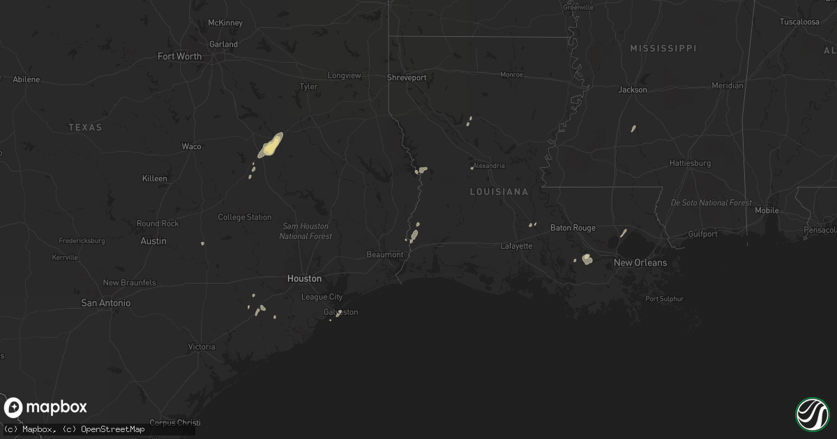
Hail Map in Mississippi on January 25, 2012
Get this storm
January 25 map
$229
one time, instant access
Download today. No call, no setup
Keep the $229
Bought the map and want the full workflow? Apply the entire $229 to a subscription within 7 days. None of it is wasted.
Every map, not just this one
This buys you this map. Subscription and you get every map we run, in the markets you choose from a few cities to whole states to nationwide. Plus real-time alerts the moment a storm fires.
Contact data
Name, contact info, occupancy, even credit band for addresses in the footprint. You go from where it hit to who to call.
Become the source they trust
Unlimited branding weather history reports on demand. You already have the documented answer ready for the property owner, and you are the one who showed up with it.
Property data and RoofTrace estimates
Pull up any address you have got, its value and the exact code rules for that jurisdiction, straight from One Click Code. Then RoofTrace estimates the squares, pitch, and roof value, priced the way you price.
Storm reports in Mississippi
Mississippi
| Date | Description |
|---|---|
| 01/24/20127:00 PM CST | Wall cloud also reported in the area |
| 01/24/20126:55 PM CST | Trees down blocking the road near the intersection of beasley rd and harrison lane rd |
| 01/24/20126:49 PM CST | This tornado was rated ef1 with max winds of 90 mph. Trees were snapped and uprooted and one fell across a power line snapping the pole. Part of the tin roof of a barn |
| 01/24/20126:25 PM CST | Power lines were downed along new sight dr |
All States Impacted by Hail Map on January 25, 2012
Cities Impacted by Hail Map on January 25, 2012
- Convent, LA
- Saint James, LA
- Wharton, TX
- East Bernard, TX
- Anacoco, LA
- Florien, LA
- Merryville, LA
- Ponchatoula, LA
- Galveston, TX
- Starks, LA
- Timpson, TX
- Garrison, TX
- Krotz Springs, LA
- Buffalo, TX
- Oakwood, TX
- Orange, TX
- Palestine, TX
- Napoleonville, LA
- Belle Rose, LA
- Jewett, TX
- Marquez, TX
- Pierre Part, LA
- Normangee, TX
- Wesson, MS
- Hazlehurst, MS
- Georgetown, MS
- Boyce, LA
- Eagle Lake, TX
- Damon, TX
- Giddings, TX
- Lottie, LA
- Atlanta, LA
- Winnfield, LA


